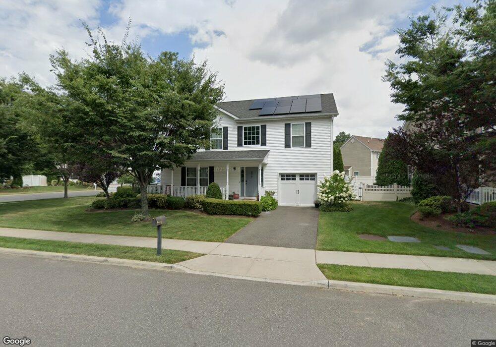
879 Ossipee Ct West Hempstead, NY 11552
Estimated Value: $790,013 - $938,000
Studio
1
Bath
1,980
Sq Ft
$436/Sq Ft
Est. Value
About This Home
This home is located at 879 Ossipee Ct, West Hempstead, NY 11552 and is currently estimated at $864,007, approximately $436 per square foot. 879 Ossipee Ct is a home with nearby schools including Davison Avenue Intermediate School, Maurice W. Downing Primary K-2 School, and Howard T Herber Middle School.
Ownership History
Date
Name
Owned For
Owner Type
Purchase Details
Closed on
Jul 20, 2011
Sold by
The Meadows At West Hempstead
Bought by
Vilme Glen and Vilme Maria
Current Estimated Value
Home Financials for this Owner
Home Financials are based on the most recent Mortgage that was taken out on this home.
Original Mortgage
$438,450
Outstanding Balance
$297,110
Interest Rate
4.5%
Mortgage Type
FHA
Estimated Equity
$566,897
Purchase Details
Closed on
Jan 26, 2009
Sold by
Meadows At West Hempstead Llc
Bought by
Douglas Ricardo and Douglas Ethlyn
Create a Home Valuation Report for This Property
The Home Valuation Report is an in-depth analysis detailing your home's value as well as a comparison with similar homes in the area
Home Values in the Area
Average Home Value in this Area
Purchase History
| Date | Buyer | Sale Price | Title Company |
|---|---|---|---|
| Vilme Glen | $451,700 | -- | |
| Douglas Ricardo | $535,000 | None Available |
Source: Public Records
Mortgage History
| Date | Status | Borrower | Loan Amount |
|---|---|---|---|
| Open | Vilme Glen | $438,450 |
Source: Public Records
Tax History
| Year | Tax Paid | Tax Assessment Tax Assessment Total Assessment is a certain percentage of the fair market value that is determined by local assessors to be the total taxable value of land and additions on the property. | Land | Improvement |
|---|---|---|---|---|
| 2025 | $15,778 | $561 | $185 | $376 |
| 2024 | $5,642 | $566 | $187 | $379 |
Source: Public Records
Map
Nearby Homes
- 945 Derrick Adkins Ln
- 485 Barbara Ln
- 450 Rhodes Ln
- 815 Iris Place
- 486 Champlain Ave
- 947 Glenwood Rd
- 1010 Hempstead Ave
- 7 Hopatcong Ave
- 1024 Mahopac Rd
- 480 Hopatcong Ave
- 601 Chautauqua Ave
- 841 Woodfield Rd
- 824 Lawrence Ct
- 853 Arthur St
- 846 Harrison St
- 771 Maple Place
- 1090 Pinebrook Ct
- 461 Pinebrook Ave
- 837 Cleveland St
- 1095 Pinebrook Ct
Your Personal Tour Guide
Ask me questions while you tour the home.