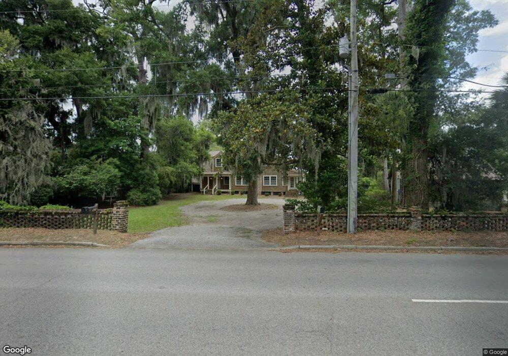
879 Ribaut Rd Beaufort, SC 29902
Estimated Value: $1,028,000 - $2,196,000
1
Bed
--
Bath
2,708
Sq Ft
$639/Sq Ft
Est. Value
About This Home
This home is located at 879 Ribaut Rd, Beaufort, SC 29902 and is currently estimated at $1,729,267, approximately $638 per square foot. 879 Ribaut Rd is a home located in Beaufort County with nearby schools including Beaufort Elementary School, Beaufort Middle School, and Battery Creek High School.
Ownership History
Date
Name
Owned For
Owner Type
Purchase Details
Closed on
Aug 27, 2003
Sold by
Goldsborough John and Demosthenes Mary Elizabeth
Bought by
Grove Samuel B and Grove Mary A
Current Estimated Value
Home Financials for this Owner
Home Financials are based on the most recent Mortgage that was taken out on this home.
Original Mortgage
$640,000
Interest Rate
6.45%
Mortgage Type
Construction
Create a Home Valuation Report for This Property
The Home Valuation Report is an in-depth analysis detailing your home's value as well as a comparison with similar homes in the area
Home Values in the Area
Average Home Value in this Area
Purchase History
| Date | Buyer | Sale Price | Title Company |
|---|---|---|---|
| Grove Samuel B | $668,000 | -- |
Source: Public Records
Mortgage History
| Date | Status | Borrower | Loan Amount |
|---|---|---|---|
| Previous Owner | Grove Samuel B | $640,000 |
Source: Public Records
Tax History Compared to Growth
Tax History
| Year | Tax Paid | Tax Assessment Tax Assessment Total Assessment is a certain percentage of the fair market value that is determined by local assessors to be the total taxable value of land and additions on the property. | Land | Improvement |
|---|---|---|---|---|
| 2024 | $20,773 | $78,140 | $36,248 | $41,892 |
| 2023 | $20,773 | $78,140 | $36,248 | $41,892 |
| 2022 | $18,419 | $48,264 | $32,060 | $16,204 |
| 2021 | $18,180 | $48,264 | $32,060 | $16,204 |
| 2020 | $17,755 | $48,264 | $32,060 | $16,204 |
| 2019 | $17,330 | $48,264 | $32,060 | $16,204 |
| 2018 | $16,502 | $59,780 | $0 | $0 |
| 2017 | $5,957 | $34,660 | $0 | $0 |
| 2016 | $5,884 | $34,660 | $0 | $0 |
| 2014 | $5,435 | $34,660 | $0 | $0 |
Source: Public Records
Map
Nearby Homes
- 117 Elliott St
- 2422 Hermitage Rd
- 162 James St
- 7 Rising Tide Dr Unit C
- 744 Ribaut Rd
- 2418 Oak Haven St
- 106 Verdier Rd
- 2405 Pine Haven St
- 1237 Ribaut Rd
- 209 Cottage Farm Dr
- 406 Heyward St
- 418 Meritta Ave
- 1236 Windswept Oak Ln
- 411 Heyward St
- 414 Joshua Ct
- 418 Waight St
- 2102 Bay St
- 369 Cottage Farm Dr
- 420 Waight St
- 513 Ribaut Rd
- 877 Ribaut Rd
- 881 Ribaut Rd
- 875 Ribaut Rd
- 885 Ribaut Rd
- 873 Ribaut Rd
- 874 Ribaut Rd
- 870 Ribaut Rd
- 871 Ribaut Rd
- 864 Ribaut Rd
- 895 Ribaut Rd Unit 11B
- 895 Ribaut Rd
- 895 Ribaut Rd Unit 19
- 895 Ribaut Rd Unit 22
- 895 Ribaut Rd Unit B14
- 895 Ribaut Rd Unit 16
- 895 Ribaut Rd Unit 2
- 895 Ribaut Rd Unit A-2
- 895 Ribaut Rd Unit 17
- 895 Ribaut Rd Unit 6-A
- 895 Ribaut Rd Unit A-1