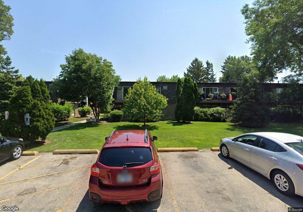
879 Trace Dr Unit 1102 Buffalo Grove, IL 60089
South Buffalo Grove NeighborhoodEstimated Value: $133,000 - $167,000
1
Bed
--
Bath
750
Sq Ft
$193/Sq Ft
Est. Value
About This Home
This home is located at 879 Trace Dr Unit 1102, Buffalo Grove, IL 60089 and is currently estimated at $144,861, approximately $193 per square foot. 879 Trace Dr Unit 1102 is a home located in Cook County with nearby schools including Edgar A. Poe Elementary School, Cooper Middle School, and Buffalo Grove High School.
Ownership History
Date
Name
Owned For
Owner Type
Purchase Details
Closed on
May 20, 2004
Sold by
Mieling Scott
Bought by
Kittner Ron and Kittner Karen
Current Estimated Value
Purchase Details
Closed on
May 21, 2002
Sold by
Chicago Title Land Trust Company
Bought by
Mieling Scott
Home Financials for this Owner
Home Financials are based on the most recent Mortgage that was taken out on this home.
Original Mortgage
$67,000
Interest Rate
6.91%
Create a Home Valuation Report for This Property
The Home Valuation Report is an in-depth analysis detailing your home's value as well as a comparison with similar homes in the area
Home Values in the Area
Average Home Value in this Area
Purchase History
| Date | Buyer | Sale Price | Title Company |
|---|---|---|---|
| Kittner Ron | $90,000 | First American Title | |
| Mieling Scott | $89,000 | -- |
Source: Public Records
Mortgage History
| Date | Status | Borrower | Loan Amount |
|---|---|---|---|
| Previous Owner | Mieling Scott | $67,000 |
Source: Public Records
Tax History
| Year | Tax Paid | Tax Assessment Tax Assessment Total Assessment is a certain percentage of the fair market value that is determined by local assessors to be the total taxable value of land and additions on the property. | Land | Improvement |
|---|---|---|---|---|
| 2025 | $2,671 | $11,375 | $2,589 | $8,786 |
| 2024 | $2,671 | $8,348 | $2,158 | $6,190 |
| 2023 | $2,570 | $8,348 | $2,158 | $6,190 |
| 2022 | $2,570 | $8,348 | $2,158 | $6,190 |
| 2021 | $1,636 | $4,630 | $215 | $4,415 |
| 2020 | $1,592 | $4,630 | $215 | $4,415 |
| 2019 | $1,584 | $5,115 | $215 | $4,900 |
| 2018 | $1,389 | $4,033 | $172 | $3,861 |
| 2017 | $1,363 | $4,033 | $172 | $3,861 |
| 2016 | $1,267 | $4,033 | $172 | $3,861 |
| 2015 | $1,342 | $3,951 | $1,078 | $2,873 |
| 2014 | $1,320 | $3,951 | $1,078 | $2,873 |
| 2013 | $1,220 | $3,951 | $1,078 | $2,873 |
Source: Public Records
Map
Nearby Homes
- 805 Grove Dr Unit 206
- 705 Grove Dr Unit 101
- 737 W Happfield Dr
- 1096 Beechwood Rd
- 760 Weidner Rd Unit 107
- 760 Weidner Rd Unit 307
- 3223 N Heritage Ln
- 462 Longwood Dr
- 535 Weidner Rd
- 517 Longwood Dr
- 820 Weidner Rd Unit 4013
- 820 Weidner Rd Unit 409
- 800 Weidner Rd Unit 208
- 271 Terrace Place
- 671 Hapsfield Ln Unit 105
- 267 Timber Hill Rd
- 621 Hapsfield Ln Unit 103
- 631 Hapsfield Ln Unit 631106
- 4210 N Walnut Ave
- 3451 N Carriageway Dr Unit 305
- 879 Trace Dr Unit 206
- 879 Trace Dr Unit 1206
- 879 Trace Dr Unit 1101
- 879 Trace Dr Unit 1205
- 879 Trace Dr Unit 1203
- 879 Trace Dr Unit 1201
- 879 Trace Dr Unit 1107
- 879 Trace Dr Unit 1106
- 879 Trace Dr Unit 1103
- 879 Trace Dr Unit 1202
- 879 Trace Dr Unit 1110
- 879 Trace Dr Unit 1108
- 879 Trace Dr Unit 1207
- 879 Trace Dr Unit 1204
- 879 Trace Dr Unit 1104
- 879 Trace Dr Unit 1105
- 879 Trace Dr Unit 103
- 879 Trace Dr Unit 102
- 879 Trace Dr Unit 202
- 879 Trace Dr Unit 107
Your Personal Tour Guide
Ask me questions while you tour the home.