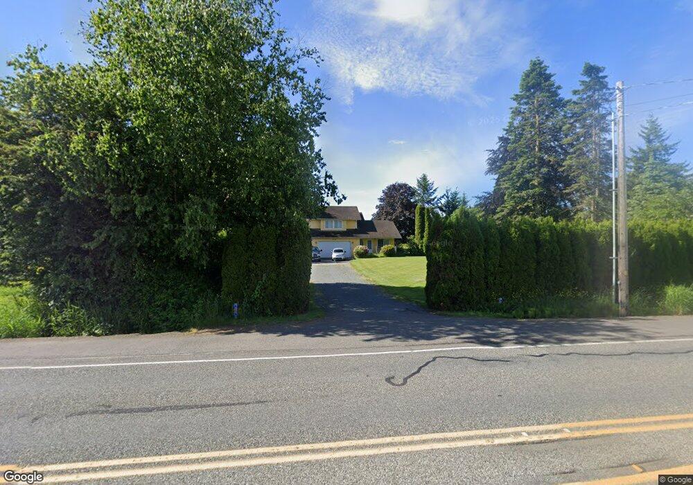
879 W Smith Rd Bellingham, WA 98226
Estimated Value: $584,059 - $709,000
3
Beds
3
Baths
1,663
Sq Ft
$383/Sq Ft
Est. Value
About This Home
This home is located at 879 W Smith Rd, Bellingham, WA 98226 and is currently estimated at $637,015, approximately $383 per square foot. 879 W Smith Rd is a home located in Whatcom County with nearby schools including Central Elementary School, Vista Middle School, and Ferndale High School.
Ownership History
Date
Name
Owned For
Owner Type
Purchase Details
Closed on
May 25, 2010
Sold by
Chervenock Susan
Bought by
Chervenock Brian
Current Estimated Value
Purchase Details
Closed on
Jan 25, 2008
Sold by
Pennington Roy D and Pennington Delores I
Bought by
Chervenock Brian and Chervenock Sue
Home Financials for this Owner
Home Financials are based on the most recent Mortgage that was taken out on this home.
Original Mortgage
$248,000
Interest Rate
6.07%
Mortgage Type
Purchase Money Mortgage
Create a Home Valuation Report for This Property
The Home Valuation Report is an in-depth analysis detailing your home's value as well as a comparison with similar homes in the area
Home Values in the Area
Average Home Value in this Area
Purchase History
| Date | Buyer | Sale Price | Title Company |
|---|---|---|---|
| Chervenock Brian | -- | None Available | |
| Chervenock Brian | $308,280 | Stewart Title Company |
Source: Public Records
Mortgage History
| Date | Status | Borrower | Loan Amount |
|---|---|---|---|
| Previous Owner | Chervenock Brian | $248,000 |
Source: Public Records
Tax History Compared to Growth
Tax History
| Year | Tax Paid | Tax Assessment Tax Assessment Total Assessment is a certain percentage of the fair market value that is determined by local assessors to be the total taxable value of land and additions on the property. | Land | Improvement |
|---|---|---|---|---|
| 2024 | $3,561 | $480,360 | $218,468 | $261,892 |
| 2023 | $3,561 | $499,319 | $247,500 | $251,819 |
| 2022 | $3,839 | $500,892 | $178,599 | $322,293 |
| 2021 | $3,869 | $413,959 | $147,602 | $266,357 |
| 2020 | $3,726 | $383,306 | $136,672 | $246,634 |
| 2019 | $2,976 | $333,848 | $119,038 | $214,810 |
| 2018 | $3,408 | $305,227 | $108,832 | $196,395 |
| 2017 | $2,904 | $267,485 | $95,375 | $172,110 |
| 2016 | $2,739 | $243,403 | $93,704 | $149,699 |
| 2015 | $2,757 | $229,205 | $88,715 | $140,490 |
| 2014 | -- | $224,438 | $86,700 | $137,738 |
| 2013 | -- | $221,239 | $85,000 | $136,239 |
Source: Public Records
Map
Nearby Homes
- 794 W Smith Rd
- 5502 Northwest Dr
- 0 W Axton Rd
- 4958 Pacific Hwy
- 1378 W Smith Rd
- 1396 Woods Point Loop
- 1245 W Axton Rd
- 5324 Shields Rd
- 1371 W Axton Rd
- 1300 W Axton Rd
- 5094 Labounty Rd
- 4754 Aldrich Rd
- 700 Northview St
- 1474 Sunset Ave
- 703 Northview St
- 5162 Spoonbill Ln
- 552 (Lot 5) Northview St
- 546 (Lot 7) Northview St
- 544 (Lot 8) Northview St
- 555 (Lot 18) Northview St
- 0 XXX W Smith Rd
- 857 W Smith Rd
- 895 W Smith Rd
- 841 W Smith Rd
- 846 W Smith Rd
- 5340 Waschke Rd
- 840 W Smith Rd
- 954 W Smith Rd
- 5500 Waschke Rd
- 5376 Waschke Rd
- 5381 Waschke Rd
- 5380 Waschke Rd
- 765 W Smith Rd
- 776 W Smith Rd
- 836 W Smith Rd
- 984 W Smith Rd
- 790 W Smith Rd
- 996 W Smith Rd
- 960 W Smith Rd
- 874 W Larson Rd