87925 Kelsie Way Florence, OR 97439
Heceta Beach NeighborhoodEstimated Value: $707,357 - $867,000
3
Beds
2
Baths
2,303
Sq Ft
$341/Sq Ft
Est. Value
About This Home
This home is located at 87925 Kelsie Way, Florence, OR 97439 and is currently estimated at $784,589, approximately $340 per square foot. 87925 Kelsie Way is a home located in Lane County with nearby schools including Siuslaw Elementary School, Siuslaw Middle School, and Siuslaw High School.
Ownership History
Date
Name
Owned For
Owner Type
Purchase Details
Closed on
Nov 22, 2023
Sold by
Marsh Peter M and Marsh Catura A
Bought by
Peter Michael And Catura A Marsh Trust and Marsh
Current Estimated Value
Purchase Details
Closed on
Jan 10, 2011
Sold by
Marsh Peter M and Marsh Catura A
Bought by
Marsh Catura A and Marsh Peter M
Home Financials for this Owner
Home Financials are based on the most recent Mortgage that was taken out on this home.
Original Mortgage
$236,200
Interest Rate
4.43%
Mortgage Type
New Conventional
Purchase Details
Closed on
Oct 1, 2003
Sold by
Heceta Development Group Inc
Bought by
Marsh Peter M and Marsh Catura A
Home Financials for this Owner
Home Financials are based on the most recent Mortgage that was taken out on this home.
Original Mortgage
$217,600
Interest Rate
6.4%
Mortgage Type
Construction
Create a Home Valuation Report for This Property
The Home Valuation Report is an in-depth analysis detailing your home's value as well as a comparison with similar homes in the area
Home Values in the Area
Average Home Value in this Area
Purchase History
| Date | Buyer | Sale Price | Title Company |
|---|---|---|---|
| Peter Michael And Catura A Marsh Trust | -- | None Listed On Document | |
| Marsh Catura A | -- | Fidelity National Title Insu | |
| Marsh Peter M | $50,000 | Western Title & Escrow Co | |
| Heceta Development Group Inc | $50,000 | Western Title & Escrow Co |
Source: Public Records
Mortgage History
| Date | Status | Borrower | Loan Amount |
|---|---|---|---|
| Previous Owner | Marsh Catura A | $236,200 | |
| Previous Owner | Marsh Peter M | $217,600 |
Source: Public Records
Tax History Compared to Growth
Tax History
| Year | Tax Paid | Tax Assessment Tax Assessment Total Assessment is a certain percentage of the fair market value that is determined by local assessors to be the total taxable value of land and additions on the property. | Land | Improvement |
|---|---|---|---|---|
| 2025 | $5,102 | $465,886 | -- | -- |
| 2024 | $4,945 | $452,317 | -- | -- |
| 2023 | $4,945 | $439,143 | $0 | $0 |
| 2022 | $4,605 | $426,353 | $0 | $0 |
| 2021 | $4,476 | $413,935 | $0 | $0 |
| 2020 | $4,299 | $401,879 | $0 | $0 |
| 2019 | $4,062 | $390,174 | $0 | $0 |
| 2018 | $4,218 | $367,777 | $0 | $0 |
| 2017 | $4,061 | $367,777 | $0 | $0 |
| 2016 | $3,945 | $357,065 | $0 | $0 |
| 2015 | $3,844 | $346,665 | $0 | $0 |
| 2014 | $3,661 | $336,568 | $0 | $0 |
Source: Public Records
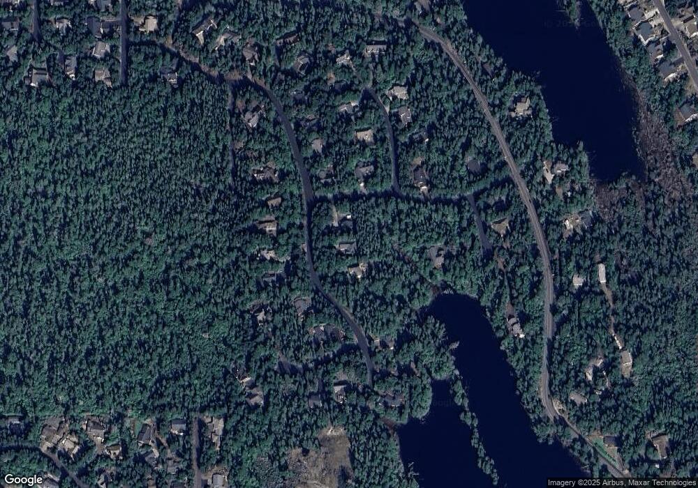
Map
Nearby Homes
- 87942 Kelsie Way
- 87803 Sandrift St
- 5030 Heceta Park Way
- 4948 Oceana Dr
- 67 Lake Point Dr Unit 67
- 0 Lake Point Dr Unit 23 268399579
- 5216 Dunewood Dr
- 87808 Saltaire St
- 5233 Dunewood Dr
- 0 Windjammer N Unit 5700 24626661
- 0 Windleaf Way Unit TL4100 313727279
- 4929 Cloudcroft Ln
- 87987 Woodlands Dr
- 87630 Woodmere E
- 87941 Highway 101
- 87830 Terrace View Dr
- 4739 N Jetty Rd
- 4788 Stonefield Ct
- 87735 Highway 101 Unit 28
- 4784 Stonefield Ct
- 87917 Kelsie Way
- 5086 Wood Lake Way
- 0 Kelsie Way Unit 19-1359
- 0 Kelsie Way Unit 61 20351648
- 0 Kelsie Way Unit 39 19261639
- 0 Kelsie Way Unit 39 19635935
- 0 Kelsie Way Unit 57 11105690
- 0 Kelsie Way Unit 57 15139930
- 0 Kelsie Way Unit 39 16109781
- 0 Kelsie Way
- 87904 Kelsie Way
- 87953 Kelsie Way
- 87928 Kelsie Way
- 87914 Kelsie Way
- 87932 Kelsie Way
- 5051 Wood Lake Way
- 0 Woodlake Way Unit 24397942
- 0 Woodlake Way Unit 29 11336107
- 0 Woodlake Way Unit 14614464
- 0 Woodlake Way Unit 29