8793 Us Highway 27 E Hamilton, GA 31811
Estimated Value: $322,000 - $581,223
3
Beds
2
Baths
1,697
Sq Ft
$241/Sq Ft
Est. Value
About This Home
This home is located at 8793 Us Highway 27 E, Hamilton, GA 31811 and is currently estimated at $408,556, approximately $240 per square foot. 8793 Us Highway 27 E is a home with nearby schools including Mulberry Creek Elementary School, Harris County Carver Middle School, and Harris County High School.
Ownership History
Date
Name
Owned For
Owner Type
Purchase Details
Closed on
Apr 5, 2019
Sold by
Smith Syble Leane
Bought by
Smith Larry and Smith Syble
Current Estimated Value
Purchase Details
Closed on
Apr 23, 2015
Sold by
Whitehead Albert
Bought by
Smith Syble Leane
Purchase Details
Closed on
Mar 23, 2010
Sold by
Whitehead Robert Britton
Bought by
Whitehead Albert
Purchase Details
Closed on
Dec 20, 1988
Bought by
Whitehead Robert B
Create a Home Valuation Report for This Property
The Home Valuation Report is an in-depth analysis detailing your home's value as well as a comparison with similar homes in the area
Home Values in the Area
Average Home Value in this Area
Purchase History
| Date | Buyer | Sale Price | Title Company |
|---|---|---|---|
| Smith Larry | -- | -- | |
| Smith Syble Leane | -- | -- | |
| Whitehead Albert | -- | -- | |
| Whitehead Robert B | $80,000 | -- |
Source: Public Records
Tax History Compared to Growth
Tax History
| Year | Tax Paid | Tax Assessment Tax Assessment Total Assessment is a certain percentage of the fair market value that is determined by local assessors to be the total taxable value of land and additions on the property. | Land | Improvement |
|---|---|---|---|---|
| 2024 | $2,344 | $143,656 | $71,319 | $72,337 |
| 2023 | $1,868 | $143,454 | $71,319 | $72,135 |
| 2022 | $2,321 | $143,454 | $71,319 | $72,135 |
| 2021 | $1,918 | $126,198 | $71,319 | $54,879 |
| 2020 | $1,909 | $126,198 | $71,319 | $54,879 |
| 2019 | $1,834 | $126,198 | $71,319 | $54,879 |
| 2018 | $1,970 | $126,198 | $71,319 | $54,879 |
| 2017 | $1,945 | $105,581 | $50,702 | $54,879 |
| 2016 | $1,723 | $153,135 | $101,929 | $51,206 |
| 2015 | $3,289 | $132,887 | $132,887 | $0 |
| 2014 | $3,296 | $132,887 | $132,887 | $0 |
| 2013 | -- | $132,886 | $132,886 | $0 |
Source: Public Records
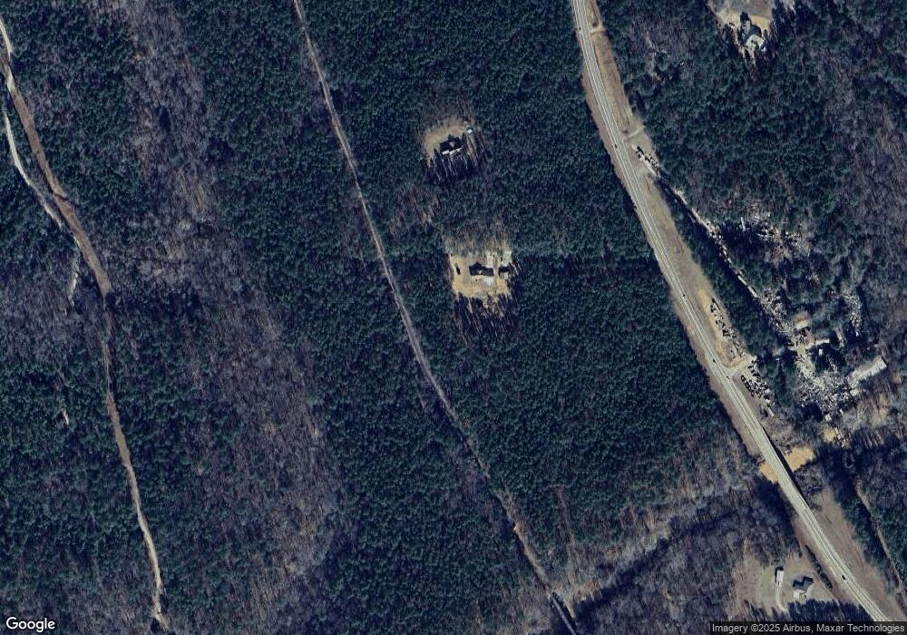
Map
Nearby Homes
- 385 Hudson Mill Cir
- 141 Voorhees Rd
- 306 Voorhees Rd E
- 2440 Hudson Mill Cir
- 0 Fortune Hole Rd E Unit 10599082
- 0 Fortune Hole Rd E Unit 222909
- 0 Fortune Hole Rd E Unit 10567416
- 0 Fortune Hole Rd E Unit 24076071
- 0 Hudson Dr Unit 10619818
- 0 Hudson Dr Unit 223658
- 362 Williams St
- 326 Mobley St
- 287 Big Sky Ct
- 490 Barnes Mill Rd
- 00 Mullins Rd
- 0 Mullins Rd
- 0 Barnes Mill Rd Unit E101172
- 0 Barnes Mill Rd Unit 221632
- 575 Mountain View Rd
- 300 Fortune Hole Rd
- 8795 Us Highway 27 E
- 8734 Us Highway 27 E
- 8918 Us Highway 27 E
- 8525 Us Highway 27 E
- 9175 Us Highway 27 E
- 604 Peed Smith Rd
- 602 Peed Smith Rd
- 600 Peed Smith Rd
- 9225 Us Highway 27 E
- 0 Peed Smith Rd Unit 8626056
- 0 Peed Smith Rd Unit 8034388
- 0 Peed Smith Rd
- 0 Kingsboro Rd Unit Lot 5
- 0 Kingsboro Rd Unit LOT 5 8446110
- 269 Peed Smith Rd
- 5 Kingsboro Rd
- 9210 Us Highway 27 E
- 9365 Us Highway 27 E
- 207 Peed Smith Rd
- 105 Kingsboro Rd