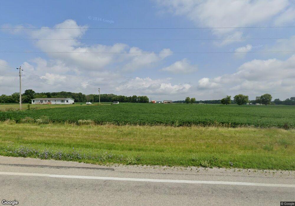
8795 W State Route 185 Covington, OH 45318
Estimated Value: $182,000 - $367,561
--
Bed
1
Bath
--
Sq Ft
13.5
Acres
About This Home
This home is located at 8795 W State Route 185, Covington, OH 45318 and is currently estimated at $251,520. 8795 W State Route 185 is a home located in Miami County with nearby schools including Covington Elementary/Junior High School, Covington Junior High School, and Covington High School.
Ownership History
Date
Name
Owned For
Owner Type
Purchase Details
Closed on
May 21, 2019
Sold by
Apple Diana L and The Diana L Appple Declaration
Bought by
Clark Debra L and Apple Denise L
Current Estimated Value
Purchase Details
Closed on
May 3, 2019
Sold by
Diana L Apple Declaration Of Trust
Bought by
Duane P Apple & Diana L Apple Principal
Purchase Details
Closed on
Dec 16, 2014
Sold by
Kirchgessner Barbara K and Estate Of David E Apple
Bought by
Apple Diana L and Diana L Apple Declaration Of T
Purchase Details
Closed on
Nov 29, 2007
Sold by
Rr Right Of Way
Bought by
Apple David
Purchase Details
Closed on
Mar 1, 2002
Sold by
Apple Irma E
Bought by
Apple David E
Purchase Details
Closed on
Sep 1, 1982
Bought by
Apple Irma E
Create a Home Valuation Report for This Property
The Home Valuation Report is an in-depth analysis detailing your home's value as well as a comparison with similar homes in the area
Home Values in the Area
Average Home Value in this Area
Purchase History
| Date | Buyer | Sale Price | Title Company |
|---|---|---|---|
| Clark Debra L | -- | None Available | |
| Duane P Apple & Diana L Apple Principal | -- | None Available | |
| Apple Diana L | $180,000 | Jb Title | |
| Apple David | -- | -- | |
| Apple David E | $74,000 | -- | |
| Apple Irma E | -- | -- |
Source: Public Records
Tax History Compared to Growth
Tax History
| Year | Tax Paid | Tax Assessment Tax Assessment Total Assessment is a certain percentage of the fair market value that is determined by local assessors to be the total taxable value of land and additions on the property. | Land | Improvement |
|---|---|---|---|---|
| 2024 | $193 | $5,650 | $5,650 | $0 |
| 2023 | $193 | $5,650 | $5,650 | $0 |
| 2022 | $196 | $5,650 | $5,650 | $0 |
| 2021 | $176 | $4,750 | $4,750 | $0 |
| 2020 | $176 | $4,750 | $4,750 | $0 |
| 2019 | $176 | $4,750 | $4,750 | $0 |
| 2018 | $268 | $7,340 | $7,340 | $0 |
| 2017 | $273 | $7,340 | $7,340 | $0 |
| 2016 | $263 | $7,340 | $7,340 | $0 |
| 2015 | $523 | $23,340 | $18,540 | $4,800 |
| 2014 | $523 | $23,340 | $18,540 | $4,800 |
| 2013 | $526 | $23,340 | $18,540 | $4,800 |
Source: Public Records
Map
Nearby Homes
- 7648 Piqua-Clayton Rd
- 731 N Pearl St
- 501 N Main St Unit C1
- 520 N Pearl St
- 6110 Ohio 185
- 9145 W US Route 36
- 133 W Broadway St
- 5882 W Versailles Rd
- 698 E Broadway St
- 124 N Main St
- 271 N Ludlow St
- 00 W Piqua Clay Rd
- 223 Henry Ct
- 221 S High St
- 5225 N Front St
- 8341 W Covington Gettysburg Rd
- 536 S High St
- 10770 U S 36
- 330 Liberty St
- 206 Charles Ct
- 8825 W State Route 185
- 8627 W State Route 185
- 0 Sr 185 Unit 534130
- 8690 W State Route 185
- 8970 W State Route 185
- 8725 N Rangeline Rd
- 8360 N Rangeline Rd
- 8795 N Rangeline Rd
- 8544 W State Route 185
- 8511 W State Route 185
- 8385 Rakestraw Rd
- 6245 Rakestraw Rd
- 8865 N Rangeline Rd
- 8656 N Rangeline Rd
- 8899 N Rangeline Rd
- 8822 N Rangeline Rd
- 8211 N Rangeline Rd
- 8130 N Rangeline Rd
- 8575 W Union Church Rd
- 8077 N Rangeline Rd