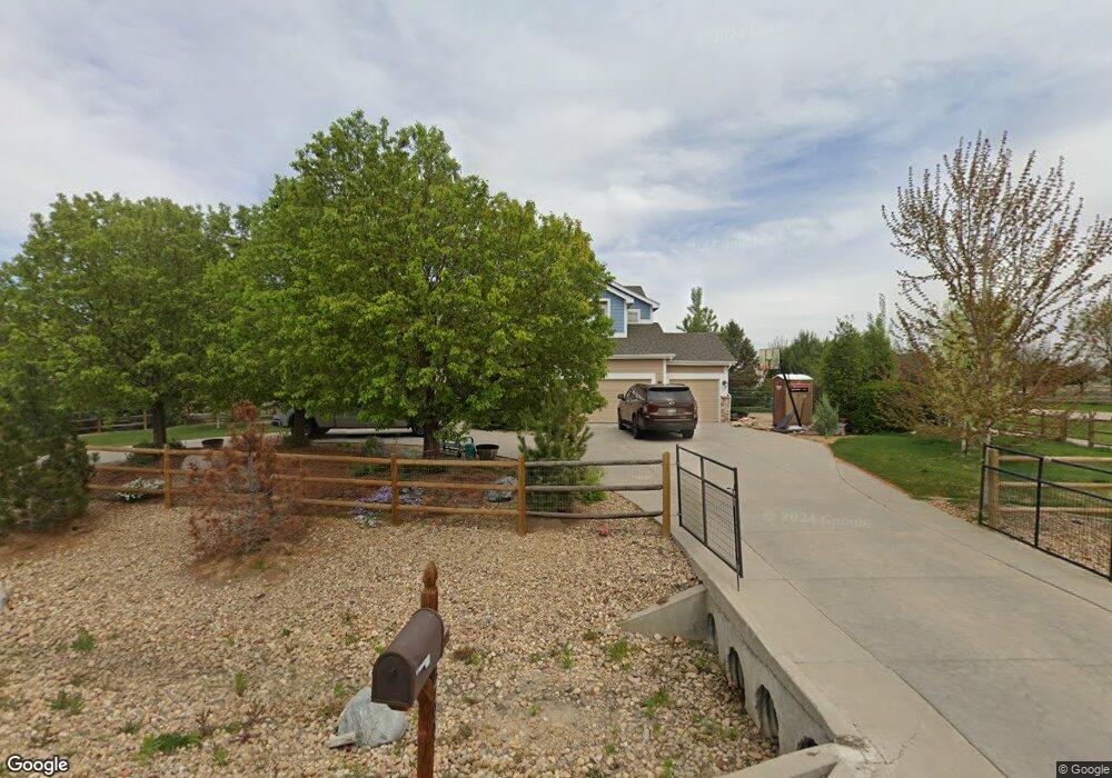
8799 Longs Peak Cir Windsor, CO 80550
Estimated Value: $1,037,680 - $1,239,000
4
Beds
3
Baths
4,382
Sq Ft
$266/Sq Ft
Est. Value
About This Home
This home is located at 8799 Longs Peak Cir, Windsor, CO 80550 and is currently estimated at $1,166,920, approximately $266 per square foot. 8799 Longs Peak Cir is a home located in Larimer County with nearby schools including High Plains School, Mountain View High School, and Colorado Early Colleges Windsor.
Ownership History
Date
Name
Owned For
Owner Type
Purchase Details
Closed on
Apr 19, 2012
Sold by
Oshea Mary E
Bought by
Gonzalez Jesus J and Gonzalez Alyssa L
Current Estimated Value
Home Financials for this Owner
Home Financials are based on the most recent Mortgage that was taken out on this home.
Original Mortgage
$352,720
Outstanding Balance
$234,360
Interest Rate
3.12%
Mortgage Type
Adjustable Rate Mortgage/ARM
Estimated Equity
$932,560
Purchase Details
Closed on
Aug 31, 2005
Sold by
Lennar Colorado Llc
Bought by
Oshea Mary E
Home Financials for this Owner
Home Financials are based on the most recent Mortgage that was taken out on this home.
Original Mortgage
$344,000
Interest Rate
5.81%
Mortgage Type
Fannie Mae Freddie Mac
Create a Home Valuation Report for This Property
The Home Valuation Report is an in-depth analysis detailing your home's value as well as a comparison with similar homes in the area
Home Values in the Area
Average Home Value in this Area
Purchase History
| Date | Buyer | Sale Price | Title Company |
|---|---|---|---|
| Gonzalez Jesus J | $440,900 | North Amer Title Co Of Co | |
| Oshea Mary E | $464,769 | North American Title |
Source: Public Records
Mortgage History
| Date | Status | Borrower | Loan Amount |
|---|---|---|---|
| Open | Gonzalez Jesus J | $352,720 | |
| Previous Owner | Oshea Mary E | $344,000 |
Source: Public Records
Tax History Compared to Growth
Tax History
| Year | Tax Paid | Tax Assessment Tax Assessment Total Assessment is a certain percentage of the fair market value that is determined by local assessors to be the total taxable value of land and additions on the property. | Land | Improvement |
|---|---|---|---|---|
| 2025 | $5,490 | $63,436 | $27,470 | $35,966 |
| 2024 | $5,318 | $63,436 | $27,470 | $35,966 |
| 2022 | $4,011 | $43,702 | $17,723 | $25,979 |
| 2021 | $4,111 | $44,960 | $18,233 | $26,727 |
| 2020 | $3,788 | $41,384 | $15,158 | $26,226 |
| 2019 | $3,733 | $41,384 | $15,158 | $26,226 |
| 2018 | $3,470 | $36,979 | $11,232 | $25,747 |
| 2017 | $3,052 | $36,979 | $11,232 | $25,747 |
| 2016 | $3,325 | $39,108 | $10,030 | $29,078 |
| 2015 | $3,283 | $39,110 | $10,030 | $29,080 |
| 2014 | $2,766 | $31,790 | $7,120 | $24,670 |
Source: Public Records
Map
Nearby Homes
- 4609 Freehold Dr
- 4605 Freehold Dr
- 7407 Pimlico Dr
- 7401 Pimlico Dr
- 7401 Turnbull Ct
- 4511 Haystack Dr
- 5504 Fairmount Dr
- 5830 Last Pointe Dr
- 8881 Longs Peak Cir
- 7845 Blackwood Dr
- 8181 Wynstone Dr
- 5849 Crooked Stick Dr
- 8736 Blackwood Dr
- 5954 Black Lion Ct
- Plan C417 - 60 at Sugar Hills at RainDance - RainDance 60'
- Plan C505 - 60 at Festival at RainDance - RainDance 60'
- Plan C502 - 60 at Festival at RainDance - RainDance 60'
- Plan C502 - 60 at RainDance - 60'
- Plan C417 - 60 at Festival at RainDance - RainDance 60'
- Plan C555 - National 60s/70s at Sugar Hills at RainDance - RainDance National 60s/70s
- 8798 Longs Peak Cir
- 8796 Longs Peak Cir
- 8805 Longs Peak Cir
- 8795 Longs Peak Cir
- 8800 Longs Peak Cir
- 8809 Longs Peak Cir
- 8793 Longs Peak Cir
- 8813 Longs Peak Cir
- 7787 Big Sky Ct
- 8814 Longs Peak Cir
- 7769 Big Sky Ct
- 8791 Longs Peak Cir
- 8815 Longs Peak Cir
- 8014 Steeplechase Dr
- 5202 Horizon Ridge Dr
- 5204 Horizon Ridge Dr
- 8816 Longs Peak Cir
- 7693 Big Sky Ct
- 8789 Longs Peak Cir
- 7784 Big Sky Ct