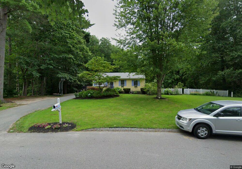
88 Andrew Ln Hanson, MA 02341
Estimated Value: $507,699 - $593,000
3
Beds
1
Bath
1,012
Sq Ft
$549/Sq Ft
Est. Value
About This Home
This home is located at 88 Andrew Ln, Hanson, MA 02341 and is currently estimated at $555,675, approximately $549 per square foot. 88 Andrew Ln is a home located in Plymouth County.
Ownership History
Date
Name
Owned For
Owner Type
Purchase Details
Closed on
Feb 28, 2003
Sold by
Vallancourt Russell A and Vallancourt Laurice E
Bought by
Mcdonald Daniel and Mcdonald Carolyn S
Current Estimated Value
Home Financials for this Owner
Home Financials are based on the most recent Mortgage that was taken out on this home.
Original Mortgage
$190,000
Outstanding Balance
$82,277
Interest Rate
5.98%
Mortgage Type
Purchase Money Mortgage
Estimated Equity
$473,398
Purchase Details
Closed on
Jul 6, 2000
Sold by
Briscoe John J and Briscoe Rhonda L
Bought by
Vallancourt Russell A and Vallancourt Laurice E
Create a Home Valuation Report for This Property
The Home Valuation Report is an in-depth analysis detailing your home's value as well as a comparison with similar homes in the area
Home Values in the Area
Average Home Value in this Area
Purchase History
| Date | Buyer | Sale Price | Title Company |
|---|---|---|---|
| Mcdonald Daniel | $291,500 | -- | |
| Vallancourt Russell A | $180,000 | -- |
Source: Public Records
Mortgage History
| Date | Status | Borrower | Loan Amount |
|---|---|---|---|
| Open | Vallancourt Russell A | $190,000 | |
| Previous Owner | Vallancourt Russell A | $180,000 | |
| Previous Owner | Vallancourt Russell A | $160,000 |
Source: Public Records
Tax History Compared to Growth
Tax History
| Year | Tax Paid | Tax Assessment Tax Assessment Total Assessment is a certain percentage of the fair market value that is determined by local assessors to be the total taxable value of land and additions on the property. | Land | Improvement |
|---|---|---|---|---|
| 2025 | $5,415 | $404,700 | $185,100 | $219,600 |
| 2024 | $5,302 | $396,300 | $179,800 | $216,500 |
| 2023 | $5,224 | $368,400 | $179,800 | $188,600 |
| 2022 | $5,091 | $337,400 | $163,400 | $174,000 |
| 2021 | $9,629 | $295,800 | $157,100 | $138,700 |
| 2020 | $6,645 | $287,800 | $151,800 | $136,000 |
| 2019 | $9,365 | $272,700 | $148,900 | $123,800 |
| 2018 | $3,800 | $247,500 | $143,200 | $104,300 |
| 2017 | $8,482 | $237,300 | $136,300 | $101,000 |
| 2016 | $3,881 | $234,500 | $136,300 | $98,200 |
| 2015 | $3,674 | $230,800 | $136,300 | $94,500 |
Source: Public Records
Map
Nearby Homes
- 134 Crescent St
- 456 Gorwin Dr
- 456 Maquan St
- 269 Lakeside Rd
- Lot 2 Harvard Rd
- Lot 6 Way
- 37 Brook St
- 57 Liberty St
- 248 E Washington St
- Lot 5 Princeton Way
- 418 E Washington St
- 842 E Washington St
- 22 Pondview Ave
- 23 Pondview Ave
- 8 Pinehurst Ave
- 15 Elm Place
- 33 Tavern Way
- 18 Wampatuck St
- 255 Holmes St
- 168 Spring St