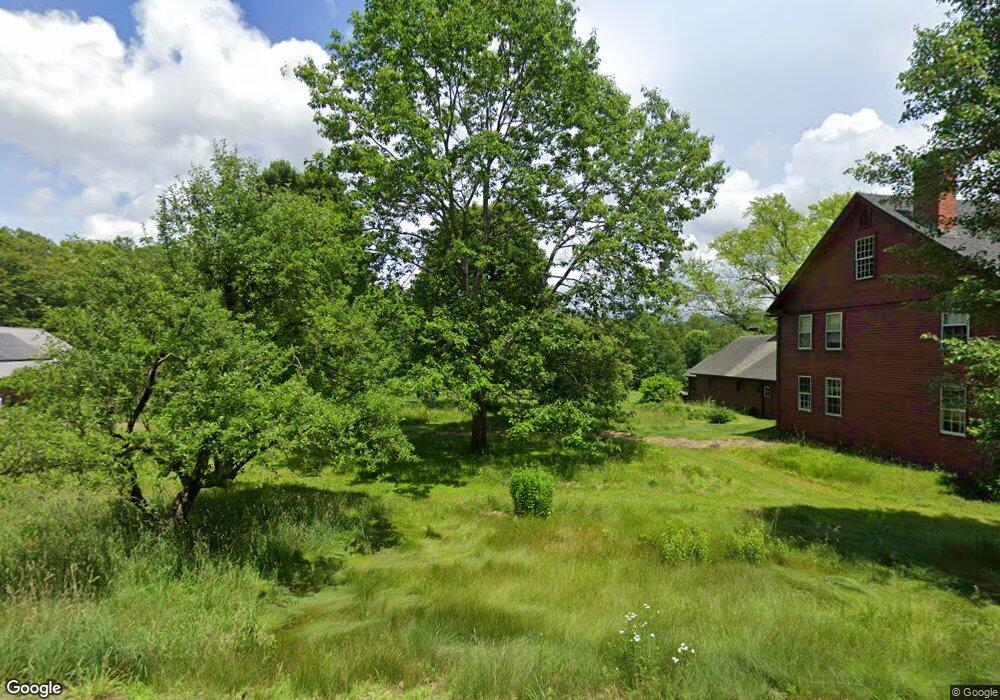
88 Butterfield Hill Rd Westmoreland, NH 03467
Estimated Value: $468,000 - $608,000
4
Beds
2
Baths
3,570
Sq Ft
$153/Sq Ft
Est. Value
About This Home
This home is located at 88 Butterfield Hill Rd, Westmoreland, NH 03467 and is currently estimated at $547,015, approximately $153 per square foot. 88 Butterfield Hill Rd is a home located in Cheshire County with nearby schools including Mayland Early College High School and Keene High School.
Ownership History
Date
Name
Owned For
Owner Type
Purchase Details
Closed on
Jul 16, 2019
Sold by
Hillier Nancy L and Clapp Jeffrey D
Bought by
88 Butterfield Hill Rd T
Current Estimated Value
Purchase Details
Closed on
Aug 15, 2018
Sold by
Toepfer Anthony A
Bought by
Rd 88 Butterfield Hill
Create a Home Valuation Report for This Property
The Home Valuation Report is an in-depth analysis detailing your home's value as well as a comparison with similar homes in the area
Home Values in the Area
Average Home Value in this Area
Purchase History
| Date | Buyer | Sale Price | Title Company |
|---|---|---|---|
| 88 Butterfield Hill Rd T | $40,000 | -- | |
| Rd 88 Butterfield Hill | $330,933 | -- |
Source: Public Records
Tax History Compared to Growth
Tax History
| Year | Tax Paid | Tax Assessment Tax Assessment Total Assessment is a certain percentage of the fair market value that is determined by local assessors to be the total taxable value of land and additions on the property. | Land | Improvement |
|---|---|---|---|---|
| 2024 | $9,139 | $396,324 | $76,824 | $319,500 |
| 2023 | $7,800 | $366,358 | $76,858 | $289,500 |
| 2022 | $7,529 | $366,380 | $76,880 | $289,500 |
| 2021 | $7,474 | $366,384 | $76,884 | $289,500 |
| 2020 | $7,147 | $281,359 | $60,959 | $220,400 |
| 2019 | $7,701 | $286,800 | $66,400 | $220,400 |
| 2018 | $7,308 | $286,800 | $66,400 | $220,400 |
| 2017 | $7,170 | $286,800 | $66,400 | $220,400 |
| 2016 | $10,198 | $410,700 | $99,400 | $311,300 |
| 2015 | $9,459 | $433,700 | $104,400 | $329,300 |
| 2014 | $9,446 | $433,700 | $104,400 | $329,300 |
| 2012 | $9,164 | $433,700 | $104,400 | $329,300 |
Source: Public Records
Map
Nearby Homes
- 601 River Rd S
- 000 S Village Rd Unit 13
- 00 S Pine Banks Rd
- 85 Foley Rd
- 43 Westmoreland Rd
- 36 Canal St
- 1123 River Rd
- 14 Hurricane Rd
- 563 N Shore Rd
- 48 Church St
- 119 Main St
- 13 Kimball Hill
- 123 Poocham Rd
- 21 Valley Park Dr
- 62 Westminster Rd
- 4 Signal Pine Rd
- 37 Fred Houghton Rd
- 212 S Pine Banks Rd
- 821 Route 9
- 135 Fred Houghton Rd
- 67 Butterfield Hill Rd
- 28 Pierce Ln
- 44 Pierce Ln
- 0 Butterfield Hill Road & Pierce Ln
- 00 Pierce Ln
- 25 Pierce Ln
- 41 Pierce Ln
- 52 Pierce Ln
- 65 Pierce Ln
- 147 Butterfield Hill Rd
- 60 Pierce Ln
- 1125 New Hampshire 63
- 73 Pierce Ln
- 109 Butterfield Hill Rd
- 0 Butterfield Hill Rd
- 8-1-B Butterfield Hill Rd
- 922 Route 63
- 81 Pierce Ln
- 78 Pierce Ln
- 67 Paine Rd