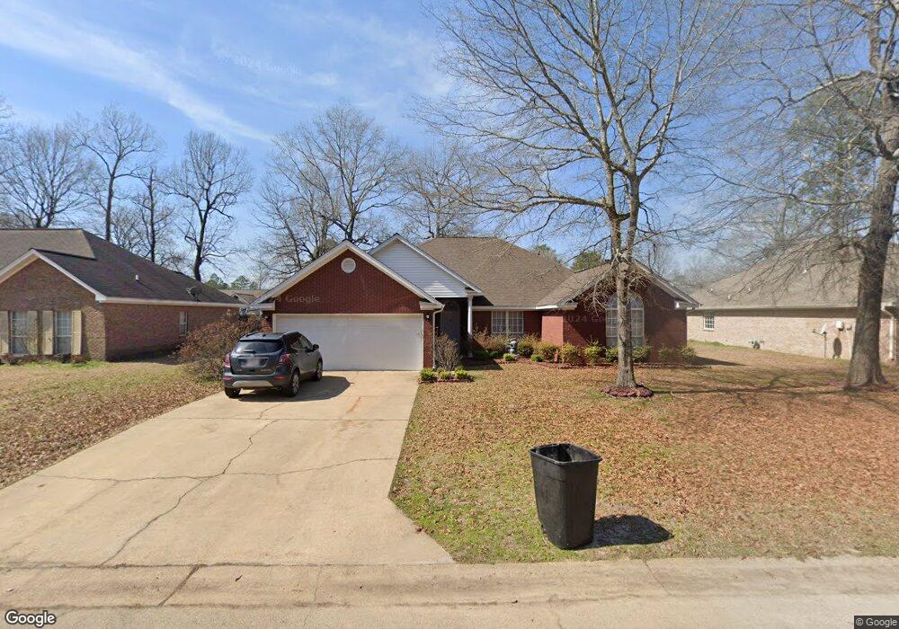
88 First Colony Cir Columbus, MS 39702
Estimated Value: $266,000 - $335,000
Studio
--
Bath
2,446
Sq Ft
$119/Sq Ft
Est. Value
About This Home
This home is located at 88 First Colony Cir, Columbus, MS 39702 and is currently estimated at $289,955, approximately $118 per square foot. 88 First Colony Cir is a home with nearby schools including Annunciation Catholic School.
Ownership History
Date
Name
Owned For
Owner Type
Purchase Details
Closed on
Jun 10, 2016
Sold by
Vonsee Paul R and Vonsee Betty H
Bought by
Wynn Jacqueline Santrese
Current Estimated Value
Home Financials for this Owner
Home Financials are based on the most recent Mortgage that was taken out on this home.
Original Mortgage
$173,794
Outstanding Balance
$138,172
Interest Rate
3.62%
Mortgage Type
FHA
Estimated Equity
$151,783
Purchase Details
Closed on
Dec 22, 2006
Sold by
P&D Builders Inc
Bought by
Vonsee Paul R and Vonsee Betty H
Home Financials for this Owner
Home Financials are based on the most recent Mortgage that was taken out on this home.
Original Mortgage
$178,825
Interest Rate
6.1%
Create a Home Valuation Report for This Property
The Home Valuation Report is an in-depth analysis detailing your home's value as well as a comparison with similar homes in the area
Purchase History
| Date | Buyer | Sale Price | Title Company |
|---|---|---|---|
| Wynn Jacqueline Santrese | -- | None Available | |
| Vonsee Paul R | -- | -- | |
| P &D Builders Inc | -- | -- |
Source: Public Records
Mortgage History
| Date | Status | Borrower | Loan Amount |
|---|---|---|---|
| Open | Wynn Jacqueline Santrese | $173,794 | |
| Previous Owner | P &D Builders Inc | $178,825 |
Source: Public Records
Tax History
| Year | Tax Paid | Tax Assessment Tax Assessment Total Assessment is a certain percentage of the fair market value that is determined by local assessors to be the total taxable value of land and additions on the property. | Land | Improvement |
|---|---|---|---|---|
| 2025 | $2,813 | $28,752 | $0 | $0 |
| 2024 | $2,790 | $28,752 | $0 | $0 |
| 2023 | $2,421 | $25,052 | $0 | $0 |
| 2022 | $2,423 | $25,052 | $0 | $0 |
| 2021 | $2,333 | $25,052 | $0 | $0 |
| 2020 | $2,205 | $25,052 | $0 | $0 |
| 2019 | $2,207 | $24,887 | $0 | $0 |
| 2018 | $2,207 | $24,324 | $0 | $0 |
| 2017 | -- | $24,324 | $0 | $0 |
| 2016 | -- | $16,216 | $0 | $0 |
| 2015 | $769 | $16,367 | $0 | $0 |
| 2014 | $769 | $16,367 | $0 | $0 |
Source: Public Records
Map
Nearby Homes
- 59 Savannah St
- 9 Monticello Cir
- 394 Pickensville Rd
- 479 Bryant Rd
- 836 Oswalt Rd
- 2654 Yorkville Rd E
- 338 Rogers Way
- 1553 Hildreth Rd
- 178 Rogers Way
- 17 Paige Cove
- 20 Stokes Rd
- 0 Yorkville Rd E
- 0 S Pickensville Rd
- 0 Nashville Ferry Rd E
- 732 Thornton Dr
- 76 Richardson Rd
- 262 Center Rd
- 0 S Lehmberg Rd
- 364 Pinewood Dr
- 279 Pandora Dr
- 64 First Colony Cir
- 92 First Colony Cir
- 0 1st Colony Cir
- 50 First Colony Cir
- 85 Savannah St
- 73 Savannah St
- 83 First Colony Cir
- 99 Savannah St
- 65 First Colony Cir
- 91 First Colony Cir
- 111 Savannah St
- 40 First Colony Cir
- 47 Savannah St
- 51 First Colony Cir
- 109 First Colony Cir
- 33 Savannah St
- 74 Savannah
- 72 Savannah St
- 72 Savannah
- 86 Savannah St
Your Personal Tour Guide
Ask me questions while you tour the home.