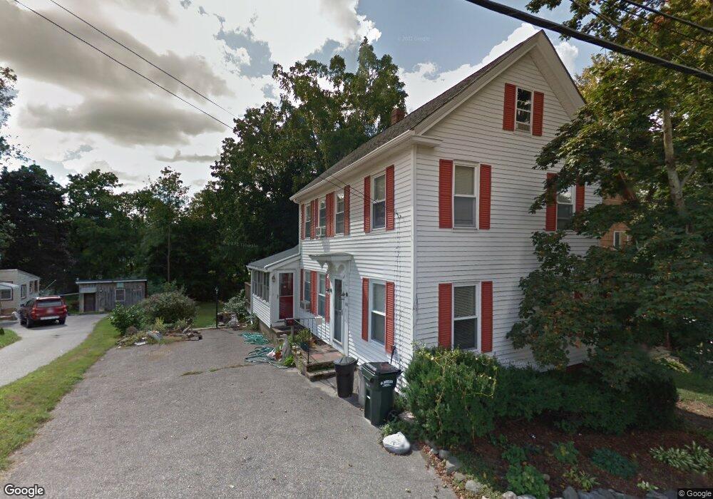
88 High St Amesbury, MA 01913
Estimated Value: $548,000 - $679,000
3
Beds
2
Baths
1,412
Sq Ft
$443/Sq Ft
Est. Value
About This Home
This home is located at 88 High St, Amesbury, MA 01913 and is currently estimated at $626,115, approximately $443 per square foot. 88 High St is a home located in Essex County with nearby schools including Amesbury High School and Amesbury Seventh-Day Adventist School.
Ownership History
Date
Name
Owned For
Owner Type
Purchase Details
Closed on
Nov 7, 2018
Sold by
M & R Marblehead Ft
Bought by
Mark T Lynch Ret
Current Estimated Value
Purchase Details
Closed on
Oct 29, 2004
Sold by
Roy Brenda L and Roy Robert
Bought by
Lynch Mark T and Fuchs-Lynch Elisabeth A
Home Financials for this Owner
Home Financials are based on the most recent Mortgage that was taken out on this home.
Original Mortgage
$260,000
Interest Rate
5.74%
Mortgage Type
Purchase Money Mortgage
Create a Home Valuation Report for This Property
The Home Valuation Report is an in-depth analysis detailing your home's value as well as a comparison with similar homes in the area
Home Values in the Area
Average Home Value in this Area
Purchase History
| Date | Buyer | Sale Price | Title Company |
|---|---|---|---|
| Mark T Lynch Ret | -- | -- | |
| Lynch Mark T | $325,000 | -- |
Source: Public Records
Mortgage History
| Date | Status | Borrower | Loan Amount |
|---|---|---|---|
| Previous Owner | Lynch Mark T | $260,000 | |
| Previous Owner | Lynch Mark T | $48,750 | |
| Previous Owner | Lynch Mark T | $10,000 |
Source: Public Records
Tax History Compared to Growth
Tax History
| Year | Tax Paid | Tax Assessment Tax Assessment Total Assessment is a certain percentage of the fair market value that is determined by local assessors to be the total taxable value of land and additions on the property. | Land | Improvement |
|---|---|---|---|---|
| 2025 | $7,869 | $514,300 | $206,100 | $308,200 |
| 2024 | $7,418 | $474,300 | $194,400 | $279,900 |
| 2023 | $7,335 | $448,900 | $169,000 | $279,900 |
| 2022 | $6,674 | $377,300 | $147,000 | $230,300 |
| 2021 | $6,515 | $357,000 | $113,500 | $243,500 |
| 2020 | $5,798 | $337,500 | $109,200 | $228,300 |
| 2019 | $5,757 | $313,400 | $109,200 | $204,200 |
| 2018 | $5,532 | $291,300 | $104,000 | $187,300 |
| 2017 | $5,059 | $253,600 | $104,000 | $149,600 |
| 2016 | $5,009 | $247,000 | $104,000 | $143,000 |
| 2015 | $4,909 | $239,000 | $104,000 | $135,000 |
| 2014 | $4,704 | $224,300 | $104,000 | $120,300 |
Source: Public Records
Map
Nearby Homes
- 81 High St Unit 27
- 37 Millyard Unit 204
- 48 Orchard St
- 19 Perkins St
- 129 Friend St
- 15 Sparhawk St Unit 3
- 17 Lincoln Ct
- 13 Lincoln Ct
- 53 Market St
- 24 Aubin St Unit 2
- 43 Aubin St Unit 1
- 101 Market St Unit B
- 101 Market St Unit A
- 31 Whitter Meadows Dr Unit 31
- 103 Market St Unit A
- 103 Market St Unit B
- 105 Market St Unit B
- 5 Richs Ct Unit 3
- 25 Cedar St Unit 4
- 25 Cedar St Unit 7
- 86 High St
- 86 1/2 High St
- 90 High St
- 92 High St
- 81 High St Unit 2
- 81 High St Unit 5
- 81 High St Unit 15
- 81 High St Unit 24
- 81 High St Unit 25
- 81 High St Unit 30
- 81 High St Unit 29
- 81 High St Unit 28
- 81 High St Unit 26
- 81 High St Unit 23
- 81 High St Unit 22
- 81 High St Unit 21
- 81 High St Unit 20
- 81 High St Unit 19
- 81 High St Unit 18
- 81 High St Unit 17