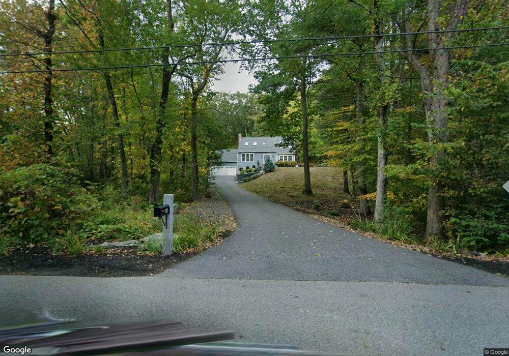
88 Maple St Sterling, MA 01564
Estimated Value: $602,000 - $669,000
3
Beds
3
Baths
2,034
Sq Ft
$312/Sq Ft
Est. Value
About This Home
This home is located at 88 Maple St, Sterling, MA 01564 and is currently estimated at $634,853, approximately $312 per square foot. 88 Maple St is a home located in Worcester County with nearby schools including Wachusett Regional High School.
Ownership History
Date
Name
Owned For
Owner Type
Purchase Details
Closed on
Aug 28, 2025
Sold by
Saltys William C and Saltys Lynn
Bought by
Saltys Rt-2022 and Saltys S
Current Estimated Value
Purchase Details
Closed on
Sep 22, 2022
Sold by
Saltys William C
Bought by
Saltys William C and Saltys Lynn
Purchase Details
Closed on
May 25, 1983
Bought by
Saltys William C
Create a Home Valuation Report for This Property
The Home Valuation Report is an in-depth analysis detailing your home's value as well as a comparison with similar homes in the area
Home Values in the Area
Average Home Value in this Area
Purchase History
| Date | Buyer | Sale Price | Title Company |
|---|---|---|---|
| Saltys Rt-2022 | -- | -- | |
| Saltys Rt-2022 | -- | -- | |
| Saltys William C | -- | None Available | |
| Saltys William C | -- | None Available | |
| Saltys William C | -- | None Available | |
| Saltys William C | -- | None Available | |
| Saltys William C | $16,000 | -- |
Source: Public Records
Mortgage History
| Date | Status | Borrower | Loan Amount |
|---|---|---|---|
| Previous Owner | Saltys William C | $80,000 | |
| Previous Owner | Saltys William C | $20,000 | |
| Previous Owner | Saltys William C | $20,000 |
Source: Public Records
Tax History
| Year | Tax Paid | Tax Assessment Tax Assessment Total Assessment is a certain percentage of the fair market value that is determined by local assessors to be the total taxable value of land and additions on the property. | Land | Improvement |
|---|---|---|---|---|
| 2025 | $7,759 | $602,400 | $184,100 | $418,300 |
| 2024 | $7,616 | $572,200 | $178,000 | $394,200 |
| 2023 | $7,160 | $500,700 | $169,900 | $330,800 |
| 2022 | $7,241 | $474,800 | $148,600 | $326,200 |
| 2021 | $7,218 | $436,900 | $145,900 | $291,000 |
| 2020 | $6,462 | $384,400 | $159,000 | $225,400 |
| 2019 | $10,789 | $362,800 | $159,000 | $203,800 |
| 2018 | $2,839 | $345,900 | $152,700 | $193,200 |
| 2017 | $5,741 | $318,400 | $139,900 | $178,500 |
| 2016 | $5,840 | $318,600 | $139,900 | $178,700 |
| 2015 | $5,339 | $308,800 | $139,400 | $169,400 |
| 2014 | $5,440 | $321,300 | $139,400 | $181,900 |
Source: Public Records
Map
Nearby Homes
- 96 Clinton Rd
- 15 N Cove Rd
- 5 Pine Woods Ln
- 6A Patriots Way Unit 37
- 11 Millie's Way Unit 11
- 134 Leominster Rd
- 4 Jewett Rd Unit B
- 4 Jewett Rd Unit A
- 54 S Meadow Rd
- 223 Worcester Rd
- 90 Tuttle Rd
- 2 Lakeview Ave
- 21 Myrtle Ave
- 15 Myrtle Ave
- 0 Boutelle Rd
- 37 Sterling St
- 61 Boutelle Rd
- 2 Lydia Ln
- 20 Willow St
- 121 &125 Flanagan Hill Rd
Your Personal Tour Guide
Ask me questions while you tour the home.