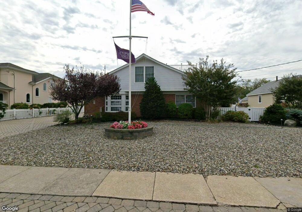
88 Pershing Blvd Lavallette, NJ 08735
Estimated Value: $1,441,000 - $5,312,000
8
Beds
5
Baths
4,733
Sq Ft
$646/Sq Ft
Est. Value
About This Home
This home is located at 88 Pershing Blvd, Lavallette, NJ 08735 and is currently estimated at $3,056,531, approximately $645 per square foot. 88 Pershing Blvd is a home located in Ocean County with nearby schools including Lavallette Elementary School.
Ownership History
Date
Name
Owned For
Owner Type
Purchase Details
Closed on
Dec 26, 2014
Sold by
Herkert Emil C
Bought by
Herkert Emil C and Herkert Ann P
Current Estimated Value
Purchase Details
Closed on
Mar 14, 2006
Sold by
Herkert Ann P
Bought by
Residen Ann P Herkert Qualified Personal
Create a Home Valuation Report for This Property
The Home Valuation Report is an in-depth analysis detailing your home's value as well as a comparison with similar homes in the area
Home Values in the Area
Average Home Value in this Area
Purchase History
| Date | Buyer | Sale Price | Title Company |
|---|---|---|---|
| Herkert Emil C | -- | None Available | |
| Residen Ann P Herkert Qualified Personal | -- | None Available | |
| Reside Emil C Herkert Qualified Personal | -- | None Available | |
| Herkert Ann P | -- | None Available |
Source: Public Records
Tax History Compared to Growth
Tax History
| Year | Tax Paid | Tax Assessment Tax Assessment Total Assessment is a certain percentage of the fair market value that is determined by local assessors to be the total taxable value of land and additions on the property. | Land | Improvement |
|---|---|---|---|---|
| 2025 | $11,445 | $1,209,800 | $670,000 | $539,800 |
| 2024 | $11,106 | $1,209,800 | $670,000 | $539,800 |
| 2023 | $10,332 | $1,209,800 | $670,000 | $539,800 |
| 2022 | $10,332 | $1,209,800 | $670,000 | $539,800 |
| 2021 | $9,993 | $1,209,800 | $670,000 | $539,800 |
| 2020 | $9,932 | $1,209,800 | $670,000 | $539,800 |
| 2019 | $9,574 | $977,900 | $631,300 | $346,600 |
| 2018 | $9,495 | $977,900 | $631,300 | $346,600 |
| 2017 | $9,593 | $977,900 | $631,300 | $346,600 |
| 2016 | $9,280 | $977,900 | $631,300 | $346,600 |
| 2015 | $9,085 | $977,900 | $631,300 | $346,600 |
| 2014 | $9,124 | $977,900 | $631,300 | $346,600 |
Source: Public Records
Map
Nearby Homes
- 72 Pershing Blvd
- 153 Pershing Blvd
- 151 Pershing Blvd
- 47 Pershing Blvd
- 189 Pershing Blvd
- 108 Dickman Dr
- 313 Shuster Ave
- 1919 Bay Blvd Unit B29
- 211 1st Ave
- 113 New Brunswick Ave
- 1806 Grand Central Ave Unit U10
- 118 Camden Ave
- 1605 Grand Central Ave Unit 1
- 2033 Route 35 N Unit 3
- 2033 New Jersey 35
- 2030 New Jersey 35 Unit 8
- 8 Pennsylvania Ave
- 419 Coolidge Ave
- 2400 Oceanfront
- 1 Diane Ln Unit A
- 86 Pershing Blvd
- 92 Pershing Blvd
- 84 Pershing Blvd
- 94 Pershing Blvd
- 15 Morton Dr
- 17 Morton Dr
- 13 Morton Dr
- 91 Pershing Blvd
- 11 Morton Dr
- 19 Morton Dr
- 87 Pershing Blvd
- 85 Pershing Blvd
- 9 Morton Dr
- 21 Morton Dr
- 89 Pershing Blvd
- 95 Pershing Blvd
- 83 Pershing Blvd
- 96 Pershing Blvd
- 7 Morton Dr
- 79 Pershing Blvd