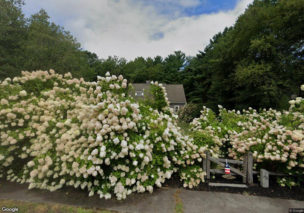
88 Woodbrook Ln Hanson, MA 02341
Estimated Value: $616,000 - $703,000
3
Beds
2
Baths
1,708
Sq Ft
$380/Sq Ft
Est. Value
About This Home
This home is located at 88 Woodbrook Ln, Hanson, MA 02341 and is currently estimated at $649,594, approximately $380 per square foot. 88 Woodbrook Ln is a home located in Plymouth County.
Ownership History
Date
Name
Owned For
Owner Type
Purchase Details
Closed on
Mar 17, 2004
Sold by
Mucci Christina M and Carew Christina M
Bought by
Mucci Nicholas J and Mucci Christina M
Current Estimated Value
Home Financials for this Owner
Home Financials are based on the most recent Mortgage that was taken out on this home.
Original Mortgage
$275,000
Outstanding Balance
$128,883
Interest Rate
5.71%
Mortgage Type
Purchase Money Mortgage
Estimated Equity
$520,711
Purchase Details
Closed on
Aug 29, 2000
Sold by
Ritz Joseph W and Ritz Jeanne A
Bought by
Carew Christina
Create a Home Valuation Report for This Property
The Home Valuation Report is an in-depth analysis detailing your home's value as well as a comparison with similar homes in the area
Home Values in the Area
Average Home Value in this Area
Purchase History
| Date | Buyer | Sale Price | Title Company |
|---|---|---|---|
| Mucci Nicholas J | -- | -- | |
| Carew Christina | $304,000 | -- |
Source: Public Records
Mortgage History
| Date | Status | Borrower | Loan Amount |
|---|---|---|---|
| Open | Carew Christina | $80,900 | |
| Closed | Carew Christina | $100,000 | |
| Open | Carew Christina | $275,000 |
Source: Public Records
Tax History Compared to Growth
Tax History
| Year | Tax Paid | Tax Assessment Tax Assessment Total Assessment is a certain percentage of the fair market value that is determined by local assessors to be the total taxable value of land and additions on the property. | Land | Improvement |
|---|---|---|---|---|
| 2025 | $7,275 | $543,700 | $211,900 | $331,800 |
| 2024 | $7,121 | $532,200 | $205,700 | $326,500 |
| 2023 | $6,951 | $490,200 | $205,700 | $284,500 |
| 2022 | $6,780 | $449,300 | $187,000 | $262,300 |
| 2021 | $6,144 | $406,900 | $179,900 | $227,000 |
| 2020 | $6,045 | $395,900 | $173,700 | $222,200 |
| 2019 | $6,063 | $390,400 | $185,200 | $205,200 |
| 2018 | $5,985 | $378,100 | $178,100 | $200,000 |
| 2017 | $5,796 | $362,700 | $169,600 | $193,100 |
| 2016 | $5,902 | $356,600 | $169,600 | $187,000 |
| 2015 | $5,602 | $351,900 | $169,600 | $182,300 |
Source: Public Records
Map
Nearby Homes
- 13 Hayford Trail Unit 15
- 12 Hayford Trail Unit 17
- 5 Hayford Trail Unit 11
- 7 Hayford Trail Unit 12
- 22 Howland Trail Unit 34
- 168 Spring St
- 248 E Washington St
- 418 E Washington St
- 33 Tavern Way
- 842 Whitman St
- Lot 5 Princeton Way
- 57 Liberty St
- 417 Birchbark Dr
- 1057 Whitman St
- 37 Brook St
- 55 Plymouth St Unit A5
- 842 E Washington St
- 154 Winter St
- 131 Holly Ridge Dr
- 41 Gail Rd
- 76 Woodbrook Ln
- 100 Woodbrook Ln
- 95 Woodbrook Ln
- 67 Woodbrook Ln
- 64 Woodbrook Ln
- 55 Woodbrook Ln
- 52 Woodbrook Ln
- 112 Woodbrook Ln
- 124 Woodbrook Ln
- 47 Woodbrook Ln
- 253 King St
- 136 Woodbrook Ln
- 40 Woodbrook Ln
- 9 Woodbrook Ln
- 31 Woodbrook Ln
- 500 Whitman St
- 60 Greenbrier Ln
- 12 Commons Ln
- 7 Commons Ln
- 281 King St