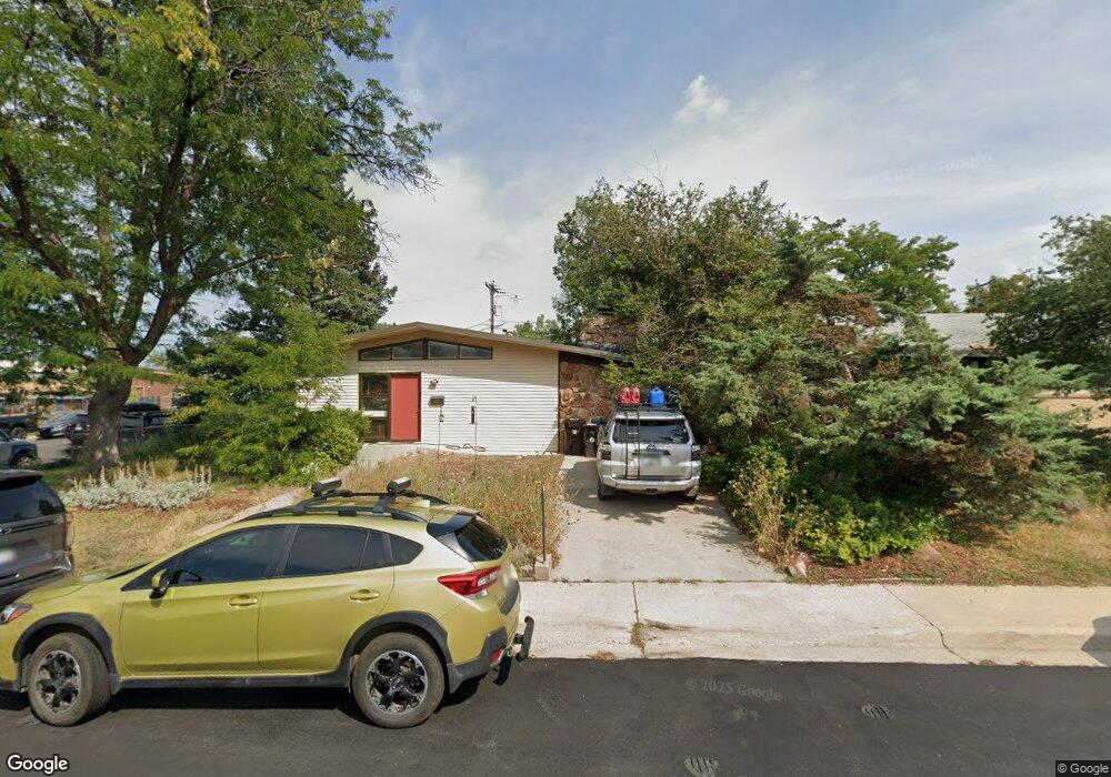
880 39th St Boulder, CO 80303
East Aurora NeighborhoodEstimated Value: $792,102 - $869,000
3
Beds
1
Bath
1,432
Sq Ft
$576/Sq Ft
Est. Value
About This Home
This home is located at 880 39th St, Boulder, CO 80303 and is currently estimated at $825,526, approximately $576 per square foot. 880 39th St is a home located in Boulder County with nearby schools including Creekside Elementary School, Manhattan Middle School of the Arts & Academics, and Fairview High School.
Ownership History
Date
Name
Owned For
Owner Type
Purchase Details
Closed on
Jul 21, 2008
Sold by
Lee Gerard F and Lee Rachel A
Bought by
Sorensen Stephen E
Current Estimated Value
Home Financials for this Owner
Home Financials are based on the most recent Mortgage that was taken out on this home.
Original Mortgage
$285,600
Outstanding Balance
$186,939
Interest Rate
6.36%
Mortgage Type
Purchase Money Mortgage
Estimated Equity
$638,587
Purchase Details
Closed on
Sep 23, 2005
Sold by
Eggert Fred John and Eggert Dorothy M
Bought by
Lavine Rachel A
Home Financials for this Owner
Home Financials are based on the most recent Mortgage that was taken out on this home.
Original Mortgage
$224,000
Interest Rate
5.73%
Mortgage Type
Fannie Mae Freddie Mac
Purchase Details
Closed on
Jan 25, 1961
Bought by
Sorensen Stephen E
Create a Home Valuation Report for This Property
The Home Valuation Report is an in-depth analysis detailing your home's value as well as a comparison with similar homes in the area
Home Values in the Area
Average Home Value in this Area
Purchase History
| Date | Buyer | Sale Price | Title Company |
|---|---|---|---|
| Sorensen Stephen E | $357,000 | First Colorado Title | |
| Lavine Rachel A | $320,000 | Fahtco | |
| Sorensen Stephen E | $13,500 | -- |
Source: Public Records
Mortgage History
| Date | Status | Borrower | Loan Amount |
|---|---|---|---|
| Open | Sorensen Stephen E | $285,600 | |
| Previous Owner | Lavine Rachel A | $224,000 |
Source: Public Records
Tax History
| Year | Tax Paid | Tax Assessment Tax Assessment Total Assessment is a certain percentage of the fair market value that is determined by local assessors to be the total taxable value of land and additions on the property. | Land | Improvement |
|---|---|---|---|---|
| 2025 | $4,878 | $48,807 | $27,913 | $20,894 |
| 2024 | $4,878 | $48,807 | $27,913 | $20,894 |
| 2023 | $4,793 | $55,503 | $36,776 | $22,412 |
| 2022 | $4,196 | $45,189 | $26,556 | $18,633 |
| 2021 | $4,002 | $46,489 | $27,320 | $19,169 |
| 2020 | $3,774 | $43,358 | $24,882 | $18,476 |
| 2019 | $3,716 | $43,358 | $24,882 | $18,476 |
| 2018 | $3,451 | $39,809 | $23,328 | $16,481 |
| 2017 | $3,343 | $44,010 | $25,790 | $18,220 |
| 2016 | $2,926 | $33,798 | $19,024 | $14,774 |
| 2015 | $2,770 | $29,293 | $11,781 | $17,512 |
| 2014 | $2,463 | $29,293 | $11,781 | $17,512 |
Source: Public Records
Map
Nearby Homes
- 905 36th St
- 770 36th St
- 4222 Monroe Dr Unit C
- 885 35th St
- 1180 Monroe Dr Unit B
- 875 Orman Dr
- 780 33rd St
- 3235 Euclid Ave
- 3100 Arrowwood Ln
- 3161 Madison Ave Unit N302
- 3161 Madison Ave Unit 313
- 4415 Laguna Place Unit 201
- 4195 Chippewa Dr
- 3009 Madison Ave Unit L216
- 3009 Madison Ave Unit M-315
- 4475 Laguna Place Unit 206
- 4475 Laguna Place Unit 201
- 4500 Baseline Rd Unit 1208
- 3000 Colorado Ave Unit B206
- 3000 Colorado Ave Unit F122
Your Personal Tour Guide
Ask me questions while you tour the home.