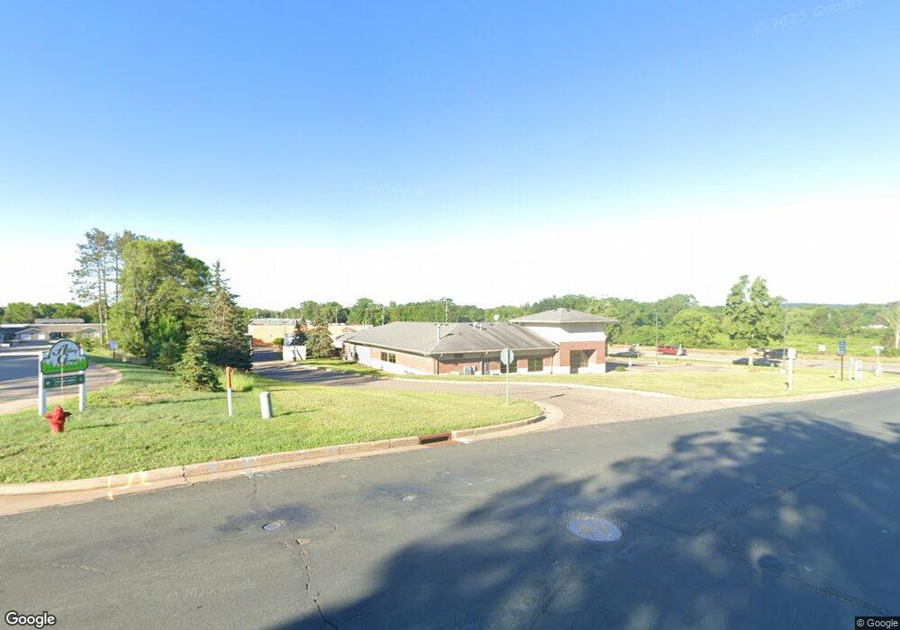
880 6th St N Hudson, WI 54016
Estimated Value: $684,000 - $1,483,889
--
Bed
--
Bath
--
Sq Ft
1.4
Acres
About This Home
This home is located at 880 6th St N, Hudson, WI 54016 and is currently estimated at $1,076,222. 880 6th St N is a home located in St. Croix County with nearby schools including North Hudson Elementary School, Hudson Middle School, and Hudson High School.
Ownership History
Date
Name
Owned For
Owner Type
Purchase Details
Closed on
Dec 2, 2020
Sold by
Midwestone Bank
Bought by
Nsf Property Holdings Llc
Current Estimated Value
Purchase Details
Closed on
Oct 7, 2011
Sold by
Federal Deposit Insurance Corporation
Bought by
Central Bank
Create a Home Valuation Report for This Property
The Home Valuation Report is an in-depth analysis detailing your home's value as well as a comparison with similar homes in the area
Home Values in the Area
Average Home Value in this Area
Purchase History
| Date | Buyer | Sale Price | Title Company |
|---|---|---|---|
| Nsf Property Holdings Llc | $625,000 | St Croix County Abstract & T | |
| Central Bank | -- | None Available |
Source: Public Records
Tax History Compared to Growth
Tax History
| Year | Tax Paid | Tax Assessment Tax Assessment Total Assessment is a certain percentage of the fair market value that is determined by local assessors to be the total taxable value of land and additions on the property. | Land | Improvement |
|---|---|---|---|---|
| 2024 | $122 | $858,600 | $264,500 | $594,100 |
| 2023 | $11,714 | $858,600 | $264,500 | $594,100 |
| 2022 | $14,066 | $858,600 | $264,500 | $594,100 |
| 2021 | $25,137 | $660,800 | $211,200 | $449,600 |
| 2020 | $24,415 | $1,217,200 | $211,200 | $1,006,000 |
| 2019 | $22,781 | $1,217,200 | $211,200 | $1,006,000 |
| 2018 | $22,422 | $1,217,200 | $211,200 | $1,006,000 |
| 2017 | $21,603 | $1,217,200 | $211,200 | $1,006,000 |
| 2016 | $21,603 | $1,217,200 | $211,200 | $1,006,000 |
| 2015 | $19,772 | $1,217,200 | $211,200 | $1,006,000 |
| 2014 | $19,625 | $1,217,200 | $211,200 | $1,006,000 |
| 2013 | $20,626 | $1,291,100 | $241,900 | $1,049,200 |
Source: Public Records
Map
Nearby Homes
- 241 Starrwood
- 702 4th St N
- 627 8th St N
- 1110 Partridge Ln N
- 606 6th St N
- 603 10th St N
- 1115 Willow River Rd N
- 1302 10th St N
- 1100 Michaelson St N
- 412 Helen St N
- 233 River Heights Trail
- 888 Bluebird Ct N
- 1205 Riverside Dr N
- 1205 Riverside Drive N
- 530 Lakeside Bay Dr S
- 479 Mariner Dr
- 621 Mallalieu Dr
- 636 Oakwood St S
- 632 Oakwood St S
- 1302 4th St
- 898 Krattley Ln N
- 898 Krattley Ln N
- 800 6th St N
- 900 6th St N
- 915 Crown Ct N
- 915 Crown Ct
- 916 Krattley Ln
- 925 Crown Ct
- 740 6th St N
- 355 Station Ln N
- 805 Lund St N
- 760 Sandhill Point Rd Unit P
- 760 Sandhill Point Rd Unit O
- 760 Sandhill Point Rd
- 760 Sandhill Point Rd Unit M
- 743 Lund St N
- 764 Sandhill Point Rd Unit T
- 764 Sandhill Point Rd Unit S
- 764 Sandhill Point Rd Unit R
- 764 Sandhill Point Rd Unit Q