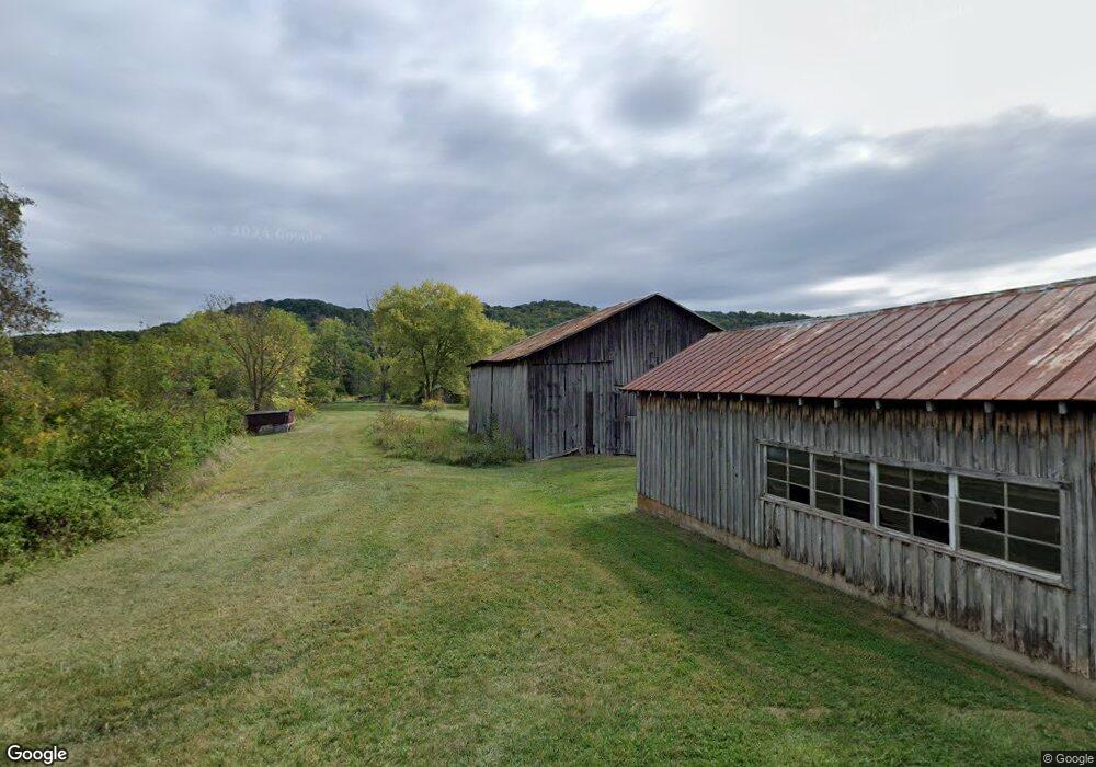
880 Copas Rd West Union, OH 45693
Estimated Value: $248,000
2
Beds
1
Bath
1,267
Sq Ft
$196/Sq Ft
Est. Value
About This Home
This home is located at 880 Copas Rd, West Union, OH 45693 and is currently estimated at $248,000, approximately $195 per square foot. 880 Copas Rd is a home located in Adams County with nearby schools including West Union Elementary School and West Union High School.
Ownership History
Date
Name
Owned For
Owner Type
Purchase Details
Closed on
May 16, 2023
Sold by
Portman Jan V and Portman William C
Bought by
Nature Conservancy
Current Estimated Value
Purchase Details
Closed on
Jul 21, 2011
Sold by
Young Lucille and Lucille Young Trust
Bought by
Portman Jan V and Portman William C
Purchase Details
Closed on
Nov 6, 2001
Sold by
Young Lucille
Bought by
Young Lucille Trustee
Purchase Details
Closed on
Oct 1, 1998
Sold by
Young Russell L
Bought by
Young Lucille
Purchase Details
Closed on
Apr 13, 1998
Sold by
Young Russell L
Bought by
Young Russell L
Purchase Details
Closed on
Jan 1, 1990
Bought by
Young Russell L
Create a Home Valuation Report for This Property
The Home Valuation Report is an in-depth analysis detailing your home's value as well as a comparison with similar homes in the area
Home Values in the Area
Average Home Value in this Area
Purchase History
| Date | Buyer | Sale Price | Title Company |
|---|---|---|---|
| Nature Conservancy | $462,400 | None Listed On Document | |
| Portman Jan V | $360,000 | None Available | |
| Young Lucille Trustee | -- | -- | |
| Young Lucille | -- | -- | |
| Young Russell L | -- | -- | |
| Young Russell L | -- | -- |
Source: Public Records
Tax History Compared to Growth
Tax History
| Year | Tax Paid | Tax Assessment Tax Assessment Total Assessment is a certain percentage of the fair market value that is determined by local assessors to be the total taxable value of land and additions on the property. | Land | Improvement |
|---|---|---|---|---|
| 2024 | $1,632 | $47,570 | $45,920 | $1,650 |
| 2023 | $3,052 | $88,700 | $87,050 | $1,650 |
| 2022 | $3,041 | $69,410 | $67,520 | $1,890 |
| 2021 | $2,571 | $75,530 | $69,720 | $5,810 |
| 2020 | $2,861 | $75,530 | $69,720 | $5,810 |
| 2019 | $2,861 | $75,530 | $69,720 | $5,810 |
| 2018 | $2,385 | $64,120 | $59,080 | $5,040 |
| 2017 | $2,346 | $64,120 | $59,080 | $5,040 |
| 2016 | $2,421 | $64,120 | $59,080 | $5,040 |
| 2015 | $2,107 | $57,580 | $52,540 | $5,040 |
| 2014 | $2,108 | $57,580 | $52,540 | $5,040 |
Source: Public Records
Map
Nearby Homes
- 1805 Waggoner Riffle Rd
- 467 Waggoner Riffle Rd
- 4702 Brush Creek Rd
- 4702 Ohio Brush Creek Rd
- 1186 Tulip Rd
- 598 Ohio 348
- 189 Hamilton Rd
- 2060 Moores Run Rd
- 405 Lookout View
- 410 Owens Rd
- 1460 Hamilton Rd
- 269 Paulette Ln
- 1082 E Walnut St
- 175 Hidden Acres Dr
- 1011 Hafer Rd
- 1478 Robinson Hollow Rd
- 1064 Hafer Rd
- 0 First St Unit 25507630
- 585 High St
- 725 E Walnut St
- 63.86ac Copas Rd
- 3223 Waggoner Riffle Rd
- 0 Waggoner Riffle Rd
- 0 Waggoner Riffle Rd Unit 42ac 1669319
- 0 Waggoner Riffle Rd Unit 30ac 1669313
- 600 Copas Rd
- 310 Copas Rd
- 0 Waggoner Rifle Rd Unit 1488716
- 1110 Malone Rd
- 1170 Malone Rd
- 1170 Malone Rd
- 140 Copas Rd
- 1445 Malone Rd
- 0 Steep Hill Rd Unit 1378637
- 0 Steep Hill Rd Unit 1816800
- 0 Steep Hill Rd Unit 1812719
- 0 Steep Hill Rd Unit 1727188
- 0 Steep Hill Rd Unit 1715789
- 0 Beasley Fork Rd