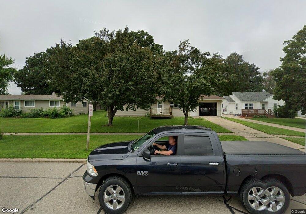
880 Front St Garner, IA 50438
Estimated Value: $210,624 - $291,000
2
Beds
1
Bath
1,312
Sq Ft
$182/Sq Ft
Est. Value
About This Home
This home is located at 880 Front St, Garner, IA 50438 and is currently estimated at $238,906, approximately $182 per square foot. 880 Front St is a home located in Hancock County with nearby schools including Garner-Hayfield-Ventura High School.
Ownership History
Date
Name
Owned For
Owner Type
Purchase Details
Closed on
Sep 24, 2025
Sold by
Greiman Holding Llc
Bought by
Jpg Llc
Current Estimated Value
Home Financials for this Owner
Home Financials are based on the most recent Mortgage that was taken out on this home.
Original Mortgage
$270,000
Outstanding Balance
$269,653
Interest Rate
6.58%
Mortgage Type
Credit Line Revolving
Estimated Equity
-$30,747
Purchase Details
Closed on
Dec 27, 2024
Sold by
Greiman David J and Greiman Jeanettee A
Bought by
Greiman Holding Llc
Create a Home Valuation Report for This Property
The Home Valuation Report is an in-depth analysis detailing your home's value as well as a comparison with similar homes in the area
Home Values in the Area
Average Home Value in this Area
Purchase History
| Date | Buyer | Sale Price | Title Company |
|---|---|---|---|
| Jpg Llc | $270,000 | None Listed On Document | |
| Greiman Holding Llc | $260,000 | None Listed On Document |
Source: Public Records
Mortgage History
| Date | Status | Borrower | Loan Amount |
|---|---|---|---|
| Open | Jpg Llc | $270,000 |
Source: Public Records
Tax History
| Year | Tax Paid | Tax Assessment Tax Assessment Total Assessment is a certain percentage of the fair market value that is determined by local assessors to be the total taxable value of land and additions on the property. | Land | Improvement |
|---|---|---|---|---|
| 2025 | $2,180 | $197,840 | $31,880 | $165,960 |
| 2024 | $2,180 | $179,830 | $22,770 | $157,060 |
| 2023 | $2,572 | $179,580 | $22,770 | $156,810 |
| 2022 | $2,271 | $166,170 | $22,770 | $143,400 |
| 2021 | $2,306 | $144,490 | $22,770 | $121,720 |
| 2020 | $2,306 | $138,000 | $22,770 | $115,230 |
| 2019 | $1,838 | $138,000 | $22,770 | $115,230 |
| 2018 | $1,694 | $111,230 | $19,130 | $92,100 |
| 2017 | $1,556 | $101,790 | $0 | $0 |
| 2016 | $1,494 | $101,790 | $0 | $0 |
| 2015 | $1,494 | $97,100 | $0 | $0 |
| 2014 | $1,390 | $97,100 | $0 | $0 |
Source: Public Records
Map
Nearby Homes
- 725 Center Ave
- 395 W 7th St
- 1044 Bush Ave
- 1050 Bush Ave
- 590 Allen Ave
- 495 W 5th St
- 625 Blackstone Dr
- 145 W 11th St
- 760 W 7th St
- 750 Pebblestone Ln
- 965 Cobblestone Ln
- 970 Cobblestone Ln
- 740 Grove Ave
- 780 W 5th St
- 640 W Lyons St
- 685 Grove Ave
- 1390 State St
- 1465 Allen Ave
- 1440 State St Unit 1450
- 255 W Sesame St
Your Personal Tour Guide
Ask me questions while you tour the home.