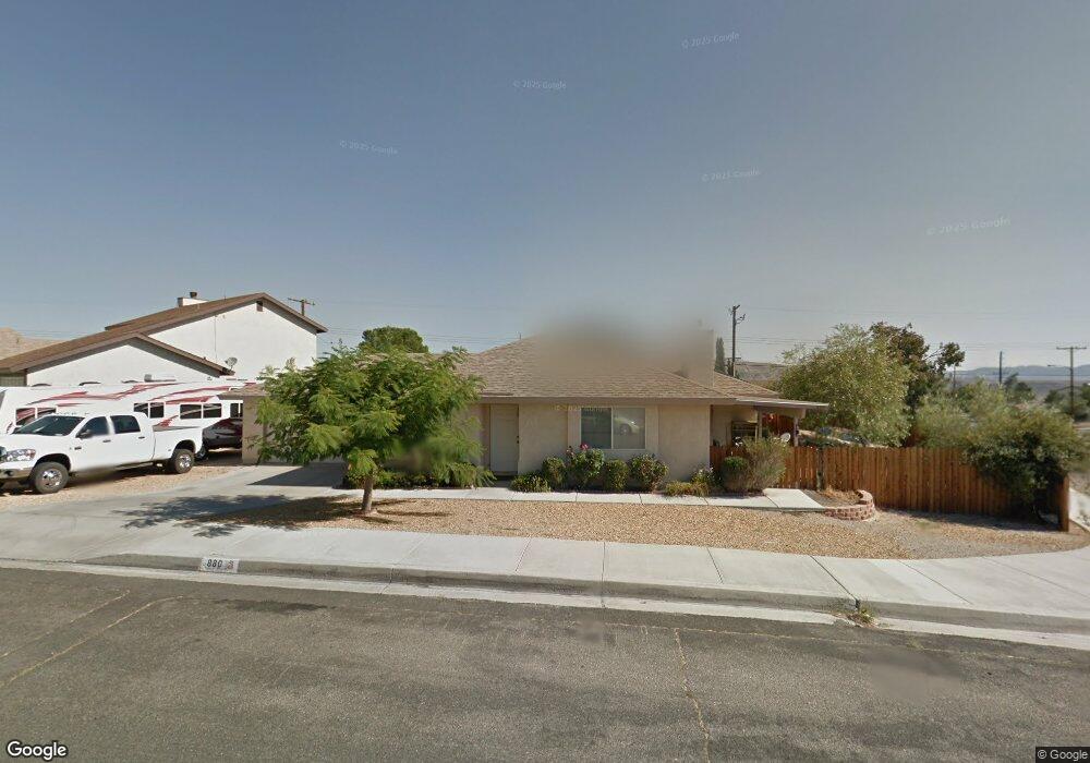
880 Opal Ave Barstow, CA 92311
Estimated Value: $281,738 - $302,000
3
Beds
2
Baths
1,284
Sq Ft
$227/Sq Ft
Est. Value
About This Home
This home is located at 880 Opal Ave, Barstow, CA 92311 and is currently estimated at $290,935, approximately $226 per square foot. 880 Opal Ave is a home located in San Bernardino County with nearby schools including Montara Elementary School, Barstow Junior High School, and Barstow High School.
Ownership History
Date
Name
Owned For
Owner Type
Purchase Details
Closed on
Nov 2, 2000
Sold by
Atlantic Mtg & Investment Corp
Bought by
Louis Ronald and Louis Paula A
Current Estimated Value
Home Financials for this Owner
Home Financials are based on the most recent Mortgage that was taken out on this home.
Original Mortgage
$71,050
Outstanding Balance
$26,068
Interest Rate
7.82%
Mortgage Type
VA
Estimated Equity
$264,867
Purchase Details
Closed on
Sep 1, 1999
Sold by
Neal Jo Ellen J
Bought by
Atlantic Mtg & Investment Corp
Create a Home Valuation Report for This Property
The Home Valuation Report is an in-depth analysis detailing your home's value as well as a comparison with similar homes in the area
Home Values in the Area
Average Home Value in this Area
Purchase History
| Date | Buyer | Sale Price | Title Company |
|---|---|---|---|
| Louis Ronald | $76,500 | Stewart Title Company | |
| Atlantic Mtg & Investment Corp | $78,399 | United Title |
Source: Public Records
Mortgage History
| Date | Status | Borrower | Loan Amount |
|---|---|---|---|
| Open | Louis Ronald | $71,050 |
Source: Public Records
Tax History Compared to Growth
Tax History
| Year | Tax Paid | Tax Assessment Tax Assessment Total Assessment is a certain percentage of the fair market value that is determined by local assessors to be the total taxable value of land and additions on the property. | Land | Improvement |
|---|---|---|---|---|
| 2025 | $1,223 | $116,029 | $20,750 | $95,279 |
| 2024 | $1,223 | $113,754 | $20,343 | $93,411 |
| 2023 | $1,195 | $111,523 | $19,944 | $91,579 |
| 2022 | $1,189 | $109,336 | $19,553 | $89,783 |
| 2021 | $1,153 | $107,193 | $19,170 | $88,023 |
| 2020 | $1,154 | $106,093 | $18,973 | $87,120 |
| 2019 | $1,092 | $104,013 | $18,601 | $85,412 |
| 2018 | $1,145 | $101,973 | $18,236 | $83,737 |
| 2017 | $1,033 | $99,973 | $17,878 | $82,095 |
| 2016 | $1,020 | $98,012 | $17,527 | $80,485 |
| 2015 | $997 | $96,540 | $17,264 | $79,276 |
| 2014 | $989 | $94,649 | $16,926 | $77,723 |
Source: Public Records
Map
Nearby Homes
- 1512 Solana Ct
- 1340 Tara St
- 1624 Forane St
- 1517 De Anza St
- 1537 De Anza St
- 0 Church St
- 1620 Church St
- 1412 Sunset St
- 2013 Rushmore Dr
- 761 Upton Dr
- 1725 De Anza St
- 1505 Sunrise Rd
- 0 Calico Dr
- 1812 Forane St
- 1000 Windy Pass Unit 81
- 1000 Windy Pass Unit 61
- 1000 Windy Pass Unit Spc 146
- 1000 Windy Pass Unit 130
- 1820 Calico Dr
- 1100 Teton Dr