880 Soaring Dr Unit 2 Marietta, GA 30062
Eastern Marietta NeighborhoodEstimated Value: $489,000 - $554,000
4
Beds
3
Baths
2,506
Sq Ft
$205/Sq Ft
Est. Value
About This Home
This home is located at 880 Soaring Dr Unit 2, Marietta, GA 30062 and is currently estimated at $514,453, approximately $205 per square foot. 880 Soaring Dr Unit 2 is a home located in Cobb County with nearby schools including Lockheed Elementary School, Marietta Sixth Grade Academy, and Marietta Middle School.
Ownership History
Date
Name
Owned For
Owner Type
Purchase Details
Closed on
May 26, 2000
Sold by
Shmays Frank
Bought by
Rhodes Ron and Rhodes Antoinette
Current Estimated Value
Home Financials for this Owner
Home Financials are based on the most recent Mortgage that was taken out on this home.
Original Mortgage
$164,000
Outstanding Balance
$56,535
Interest Rate
8.11%
Mortgage Type
New Conventional
Estimated Equity
$457,918
Purchase Details
Closed on
Aug 9, 1995
Sold by
Venture Homes
Bought by
Tully Nancy A
Create a Home Valuation Report for This Property
The Home Valuation Report is an in-depth analysis detailing your home's value as well as a comparison with similar homes in the area
Home Values in the Area
Average Home Value in this Area
Purchase History
| Date | Buyer | Sale Price | Title Company |
|---|---|---|---|
| Rhodes Ron | $205,000 | -- | |
| Tully Nancy A | $169,300 | -- |
Source: Public Records
Mortgage History
| Date | Status | Borrower | Loan Amount |
|---|---|---|---|
| Open | Rhodes Ron | $164,000 | |
| Closed | Tully Nancy A | $0 |
Source: Public Records
Tax History Compared to Growth
Tax History
| Year | Tax Paid | Tax Assessment Tax Assessment Total Assessment is a certain percentage of the fair market value that is determined by local assessors to be the total taxable value of land and additions on the property. | Land | Improvement |
|---|---|---|---|---|
| 2025 | $626 | $200,940 | $48,000 | $152,940 |
| 2024 | $626 | $200,940 | $48,000 | $152,940 |
| 2023 | $474 | $166,700 | $34,000 | $132,700 |
| 2022 | $626 | $146,856 | $28,000 | $118,856 |
| 2021 | $643 | $125,260 | $28,000 | $97,260 |
| 2020 | $642 | $120,340 | $28,000 | $92,340 |
| 2019 | $642 | $120,340 | $28,000 | $92,340 |
| 2018 | $639 | $97,168 | $22,000 | $75,168 |
| 2017 | $513 | $97,168 | $22,000 | $75,168 |
| 2016 | $514 | $92,956 | $22,000 | $70,956 |
| 2015 | $562 | $92,956 | $22,000 | $70,956 |
| 2014 | $572 | $83,328 | $0 | $0 |
Source: Public Records
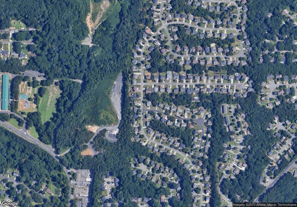
Map
Nearby Homes
- 706 Coventry Township Ln
- 787 Coventry Township Place
- 685 Coventry Township Ln
- 685 Coventry Township Ln Unit 1
- 1080 Soaring Way NE
- 679 Anderson Walk
- 645 Anderson Walk
- 1056 Azalea Cir
- 1145 Mountain View Dr
- 755 Bonnie Dell Dr
- 1070 Grist Mill Dr
- 1059 Grist Mill Dr
- 1071 Grist Mill Dr
- 873 Edgewater Cir
- 1391 Cameron Glen Dr Unit 1
- 1060 Lawanna Dr
- 943 Crestmanor Dr
- 939 Crestmanor Dr
- 931 Crestmanor Dr
- 935 Crestmanor Dr
- 884 Soaring Cir
- 1406 Soaring Pointe
- 1416 Soaring Pointe
- 1416 Soaring Trail
- 860 Soaring Dr Unit 2
- 1426 Soaring Pointe
- 885 Soaring Cir
- 891 Soaring Dr
- 871 Soaring Dr
- 850 Soaring Dr Unit 2
- 901 Soaring Dr
- 901 Soaring Dr Unit II
- 1436 Soaring Pointe
- 1436 Soaring Trail
- 864 Soaring Cir
- 911 Soaring Dr
- 851 Soaring Dr
- 1401 Soaring Pointe
- 1446 Soaring Pointe
- 1411 Soaring Pointe