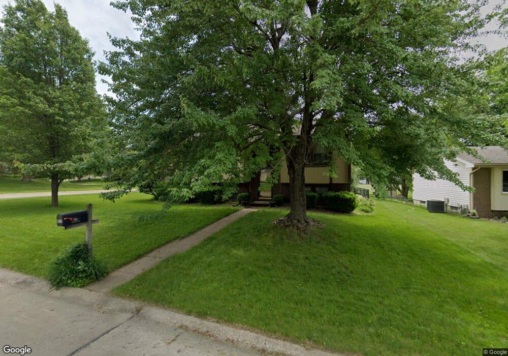
8800 Hammontree Cir Urbandale, IA 50322
Estimated Value: $302,025 - $344,000
3
Beds
2
Baths
1,024
Sq Ft
$313/Sq Ft
Est. Value
About This Home
This home is located at 8800 Hammontree Cir, Urbandale, IA 50322 and is currently estimated at $320,256, approximately $312 per square foot. 8800 Hammontree Cir is a home located in Polk County with nearby schools including Urbandale Middle School, Urbandale High School, and St Pius X School.
Ownership History
Date
Name
Owned For
Owner Type
Purchase Details
Closed on
Jul 6, 1998
Sold by
Rothamel Roger L and Rothamel Patricia
Bought by
Kirkpatrick Kent G and Kirkpatrick Elizabeth F
Current Estimated Value
Home Financials for this Owner
Home Financials are based on the most recent Mortgage that was taken out on this home.
Original Mortgage
$91,920
Outstanding Balance
$18,581
Interest Rate
7.17%
Estimated Equity
$301,675
Create a Home Valuation Report for This Property
The Home Valuation Report is an in-depth analysis detailing your home's value as well as a comparison with similar homes in the area
Home Values in the Area
Average Home Value in this Area
Purchase History
| Date | Buyer | Sale Price | Title Company |
|---|---|---|---|
| Kirkpatrick Kent G | $114,500 | -- |
Source: Public Records
Mortgage History
| Date | Status | Borrower | Loan Amount |
|---|---|---|---|
| Open | Kirkpatrick Kent G | $91,920 |
Source: Public Records
Tax History Compared to Growth
Tax History
| Year | Tax Paid | Tax Assessment Tax Assessment Total Assessment is a certain percentage of the fair market value that is determined by local assessors to be the total taxable value of land and additions on the property. | Land | Improvement |
|---|---|---|---|---|
| 2025 | $4,704 | $298,400 | $72,600 | $225,800 |
| 2024 | $4,704 | $270,200 | $65,300 | $204,900 |
| 2023 | $4,468 | $270,200 | $65,300 | $204,900 |
| 2022 | $4,414 | $217,100 | $54,000 | $163,100 |
| 2021 | $4,212 | $217,100 | $54,000 | $163,100 |
| 2020 | $4,136 | $197,100 | $49,000 | $148,100 |
| 2019 | $4,138 | $197,100 | $49,000 | $148,100 |
| 2018 | $3,984 | $188,500 | $45,900 | $142,600 |
| 2017 | $3,650 | $188,500 | $45,900 | $142,600 |
| 2016 | $3,556 | $170,400 | $41,100 | $129,300 |
| 2015 | $3,556 | $170,400 | $41,100 | $129,300 |
| 2014 | $3,134 | $149,900 | $35,500 | $114,400 |
Source: Public Records
Map
Nearby Homes
- 4221 90th St
- 4460 90th St
- 8914 Valdez Dr
- 8626 Alpine Dr Unit D
- 4473 89th St
- 8641 Alpine Dr Unit E
- 4480 87th St Unit 10
- 9107 Tanglewood Dr
- 8220 Twana Dr
- 4529 91st St
- 4117 83rd St
- 8505 Airline Ave
- 8501 Airline Ave
- 4608 83rd St
- 4708 89th St
- Danbury Plan at Oakwood Haven
- Carson Plan at Oakwood Haven
- Gilmore Plan at Oakwood Haven
- Emerson Plan at Oakwood Haven
- Brighton Plan at Oakwood Haven
- 8802 Hammontree Cir
- 8804 Hammontree Cir
- 8713 Ginger Ln
- 8708 Ginger Ln
- 8712 Snapdragon Ln
- 8806 Hammontree Cir
- 8709 Ginger Ln
- 8801 Hammontree Cir
- 8803 Hammontree Cir
- 8805 Hammontree Cir
- 8708 Snapdragon Ln
- 8705 Ginger Ln
- 8807 Hammontree Cir
- 8808 Hammontree Cir
- 8713 Snapdragon Ln
- 8809 Hammontree Cir
- 8704 Snapdragon Ln
- 8705 Clover Ln
- 8709 Snapdragon Ln
- 8701 Ginger Ln