8800 State Route 821 Lower Salem, OH 45745
Estimated Value: $179,000 - $376,000
--
Bed
--
Bath
1,768
Sq Ft
$145/Sq Ft
Est. Value
About This Home
This home is located at 8800 State Route 821, Lower Salem, OH 45745 and is currently estimated at $255,511, approximately $144 per square foot. 8800 State Route 821 is a home with nearby schools including Fort Frye High School.
Ownership History
Date
Name
Owned For
Owner Type
Purchase Details
Closed on
Jan 17, 2025
Sold by
Mills Family Trust and Old Mission Trust Company Llc
Bought by
M & M Stables Llc
Current Estimated Value
Purchase Details
Closed on
Aug 21, 2024
Sold by
Mills Family Farm Llc
Bought by
Mills Family Trust and Old Mission Trust
Purchase Details
Closed on
Jun 22, 2007
Sold by
Mills James M
Bought by
Mills Family Farm Llc
Purchase Details
Closed on
Dec 30, 2006
Sold by
Mills James M
Bought by
Mills Family Farm Llc
Purchase Details
Closed on
Jan 28, 1993
Bought by
Mills James M Trustee Of
Create a Home Valuation Report for This Property
The Home Valuation Report is an in-depth analysis detailing your home's value as well as a comparison with similar homes in the area
Home Values in the Area
Average Home Value in this Area
Purchase History
| Date | Buyer | Sale Price | Title Company |
|---|---|---|---|
| M & M Stables Llc | -- | None Listed On Document | |
| Mills Family Trust | -- | None Listed On Document | |
| Mills Family Farm Llc | -- | Attorney | |
| Mills Family Farm Llc | -- | Attorney | |
| Mills James M Trustee Of | -- | -- |
Source: Public Records
Tax History Compared to Growth
Tax History
| Year | Tax Paid | Tax Assessment Tax Assessment Total Assessment is a certain percentage of the fair market value that is determined by local assessors to be the total taxable value of land and additions on the property. | Land | Improvement |
|---|---|---|---|---|
| 2024 | $849 | $44,780 | $34,840 | $9,940 |
| 2023 | $849 | $44,780 | $34,840 | $9,940 |
| 2022 | $891 | $44,780 | $34,840 | $9,940 |
| 2021 | $589 | $34,890 | $30,000 | $4,890 |
| 2020 | $590 | $34,890 | $30,000 | $4,890 |
| 2019 | $589 | $17,900 | $13,010 | $4,890 |
| 2018 | $721 | $21,830 | $16,940 | $4,890 |
| 2017 | $724 | $21,830 | $16,940 | $4,890 |
| 2016 | $722 | $21,830 | $16,940 | $4,890 |
| 2015 | $669 | $19,330 | $14,550 | $4,780 |
| 2014 | $1,208 | $19,330 | $14,550 | $4,780 |
| 2013 | $674 | $19,330 | $14,550 | $4,780 |
Source: Public Records
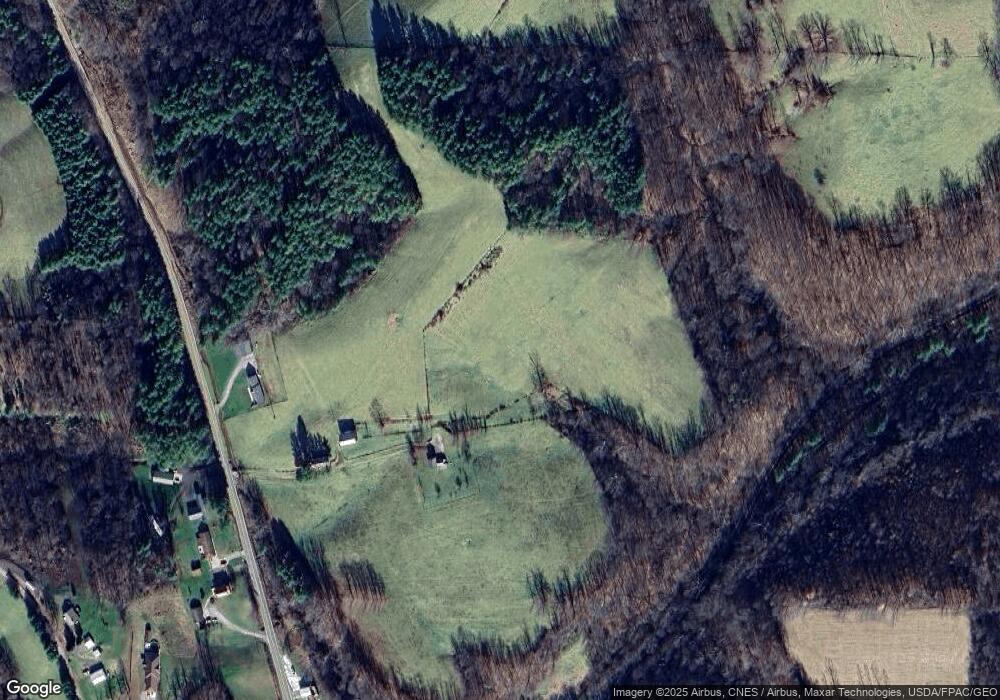
Map
Nearby Homes
- 9865 State Route 821
- 50 & 60 Railroad St
- 65 Warner Second St
- 2800 Tick Ridge Rd
- 3275 Highland Ridge Rd
- 0 Highland Ridge Rd
- 0 Stanleyville Rd
- 200 Frakes Rd
- 0 Highland Ridge Rd
- 4595 Ohio 530
- 2115 Goss Fork Rd
- Lot 4 Moss Run Rd
- 1 Brooks Ln
- 0 Dixon Ridge Rd Unit 5152245
- 101 Winters Dr
- 2585 Glendale Rd
- 9125 Highland Ridge Re
- 9125 Highland Ridge Rd
- 0 Township Highway 272
- 123 Deerwalk Cir
- 8860 State Route 821
- 8735 State Route 821
- 8725 State Route 821
- 8650 State Route 821
- 240 Davis Rd
- 8590 State Route 821
- 184 Davis Rd
- 8615 State Route 821
- 345 Davis Rd
- 420 Davis Rd
- 410 Davis Rd
- 430 Davis Rd
- 0 Davis Rd
- 8470 Ohio 821
- 8470 State Route 821
- 0 Germantown Rd
- 0 Germantown Rd Unit M224642
- 8389 State Route 821 Rd
- 470 Davis Rd
- 72 Germantown Rd