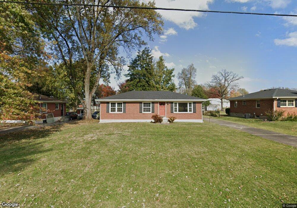
8803 Michael Edward Dr Louisville, KY 40291
Estimated Value: $207,000 - $269,000
--
Bed
1
Bath
1,100
Sq Ft
$213/Sq Ft
Est. Value
About This Home
This home is located at 8803 Michael Edward Dr, Louisville, KY 40291 and is currently estimated at $233,913, approximately $212 per square foot. 8803 Michael Edward Dr is a home located in Jefferson County with nearby schools including Tully Elementary School, Cochrane Elementary School, and Jeffersontown Elementary School.
Ownership History
Date
Name
Owned For
Owner Type
Purchase Details
Closed on
Aug 22, 2025
Sold by
Moore Jeffrey T and Moore Leslie
Bought by
Moore Jeffrey T and Moore Leslie
Current Estimated Value
Create a Home Valuation Report for This Property
The Home Valuation Report is an in-depth analysis detailing your home's value as well as a comparison with similar homes in the area
Home Values in the Area
Average Home Value in this Area
Purchase History
| Date | Buyer | Sale Price | Title Company |
|---|---|---|---|
| Moore Jeffrey T | -- | None Listed On Document | |
| Moore Jeffrey T | -- | None Listed On Document | |
| Moore Jeffrey T | -- | None Listed On Document |
Source: Public Records
Tax History Compared to Growth
Tax History
| Year | Tax Paid | Tax Assessment Tax Assessment Total Assessment is a certain percentage of the fair market value that is determined by local assessors to be the total taxable value of land and additions on the property. | Land | Improvement |
|---|---|---|---|---|
| 2024 | $1,842 | $207,200 | $45,000 | $162,200 |
| 2023 | $1,306 | $157,210 | $35,000 | $122,210 |
| 2022 | $1,380 | $157,210 | $35,000 | $122,210 |
| 2021 | $1,468 | $157,210 | $35,000 | $122,210 |
| 2020 | $1,172 | $138,840 | $29,000 | $109,840 |
| 2019 | $1,079 | $138,840 | $29,000 | $109,840 |
| 2018 | $1,084 | $138,840 | $29,000 | $109,840 |
| 2017 | $1,063 | $138,840 | $29,000 | $109,840 |
| 2013 | $1,282 | $128,170 | $25,000 | $103,170 |
Source: Public Records
Map
Nearby Homes
- 8902 Zabel Way
- 4906 Roman Dr
- 5002 Volney Ct
- 8807 Roman Ct
- 8712 Hudson Ln
- 5203 Cool Brook Rd
- 5101 Ferrer Way
- 4921 Ferrer Way
- 5207 Pavilion Way
- 4606 Haeringdon Dr
- 4724 Ferrer Way
- 4429 Lochridge Pkwy
- 4427 Lochridge Pkwy
- 4720 Ferrer Way
- 8503 Image Way
- 4409 Mansfield Estates Dr
- 4706 Lacarem Dr
- 9013 Stockton Ct
- 6106 Hudson Creek Dr
- 5903 Bucks Ln
- 8805 Michael Edward Dr
- 8801 Michael Edward Dr
- 8807 Michael Edward Dr
- 8711 Michael Edward Dr
- 8800 Zabel Way
- 8712 Zabel Way
- 8802 Zabel Way
- 8710 Zabel Way
- 8802 Michael Edward Dr
- 8804 Michael Edward Dr
- 8809 Michael Edward Dr
- 8804 Zabel Way
- 8709 Michael Edward Dr
- 8800 Michael Edward Dr
- 8806 Michael Edward Dr
- 8708 Zabel Way
- 8710 Michael Edward Dr
- 8806 Zabel Way
- 8808 Michael Edward Dr
- 8707 Michael Edward Dr