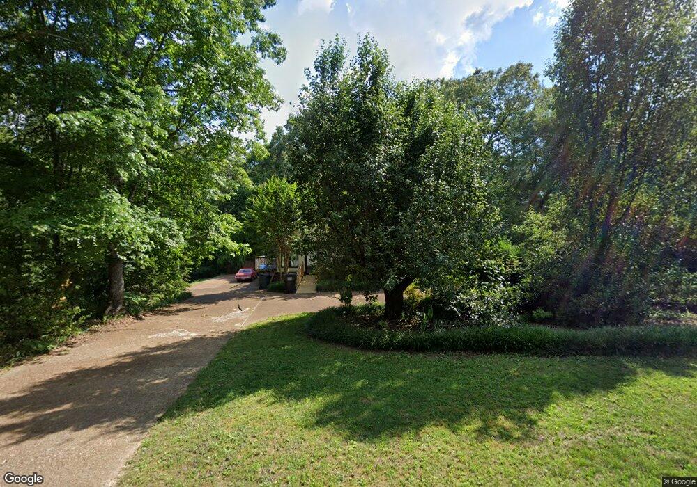
8804 Finney Point Dr Ooltewah, TN 37363
Estimated Value: $553,565 - $778,000
4
Beds
4
Baths
3,653
Sq Ft
$182/Sq Ft
Est. Value
About This Home
This home is located at 8804 Finney Point Dr, Ooltewah, TN 37363 and is currently estimated at $664,391, approximately $181 per square foot. 8804 Finney Point Dr is a home located in Hamilton County with nearby schools including Ooltewah Elementary School, Ooltewah Middle School, and Ooltewah High School.
Ownership History
Date
Name
Owned For
Owner Type
Purchase Details
Closed on
Feb 28, 2006
Sold by
Coleman James M and Coleman Charlotte B
Bought by
Stone Mark and Stone Veronica
Current Estimated Value
Home Financials for this Owner
Home Financials are based on the most recent Mortgage that was taken out on this home.
Original Mortgage
$200,600
Outstanding Balance
$112,498
Interest Rate
6.04%
Mortgage Type
Fannie Mae Freddie Mac
Estimated Equity
$551,893
Purchase Details
Closed on
Jun 7, 2000
Sold by
Tackett and Sara
Bought by
Coleman James M and Coleman Charlotte B
Home Financials for this Owner
Home Financials are based on the most recent Mortgage that was taken out on this home.
Original Mortgage
$160,000
Interest Rate
8.11%
Mortgage Type
Purchase Money Mortgage
Purchase Details
Closed on
Jul 1, 1999
Sold by
Hall Dee B and Hall Janis F
Bought by
Tackett Arnold and Tackett Sara
Create a Home Valuation Report for This Property
The Home Valuation Report is an in-depth analysis detailing your home's value as well as a comparison with similar homes in the area
Home Values in the Area
Average Home Value in this Area
Purchase History
| Date | Buyer | Sale Price | Title Company |
|---|---|---|---|
| Stone Mark | $295,000 | None Available | |
| Coleman James M | $240,000 | Legal Title & Escrow Inc | |
| Tackett Arnold | $280,000 | Legal Title & Escrow Inc |
Source: Public Records
Mortgage History
| Date | Status | Borrower | Loan Amount |
|---|---|---|---|
| Open | Stone Mark | $200,600 | |
| Previous Owner | Coleman James M | $160,000 |
Source: Public Records
Tax History Compared to Growth
Tax History
| Year | Tax Paid | Tax Assessment Tax Assessment Total Assessment is a certain percentage of the fair market value that is determined by local assessors to be the total taxable value of land and additions on the property. | Land | Improvement |
|---|---|---|---|---|
| 2024 | $2,074 | $92,700 | $0 | $0 |
| 2023 | $2,083 | $92,700 | $0 | $0 |
| 2022 | $2,083 | $92,700 | $0 | $0 |
| 2021 | $2,083 | $92,700 | $0 | $0 |
| 2020 | $2,155 | $77,625 | $0 | $0 |
| 2019 | $2,155 | $77,625 | $0 | $0 |
| 2018 | $2,155 | $77,625 | $0 | $0 |
| 2017 | $2,155 | $77,625 | $0 | $0 |
| 2016 | $1,956 | $0 | $0 | $0 |
| 2015 | $1,956 | $70,400 | $0 | $0 |
| 2014 | $1,956 | $0 | $0 | $0 |
Source: Public Records
Map
Nearby Homes
- 4 Blessed Way
- 3 Blessed Way
- 1 Blessed Way
- 4756 Waverly Ct
- 5528 Nations Rd
- 4920 Pine Cir
- 5334 Peghorn Trail
- 2 Blessed Way
- 9051 Haileys Pond Dr
- 4898 Fannon Dr
- 9298 Apison Pike Unit 204
- 4682 Sweet Berry Ln
- 8220 Apison Pike
- 8203 Old Lee Hwy
- 5300 Country Village Dr
- 9313 Leyland Dr
- 9407 Cavalier Way
- 4836 Lillie Ln
- 9474 Cavalier Way
- 9431 Cavalier Way
- 5008 Branston Rd
- 5020 Branston Rd
- 8814 Finney Point Dr
- 5011 Branston Rd
- 8811 Finney Point Dr
- 5002 Branston Rd
- 5024 Branston Rd
- 8820 Finney Point Dr
- 5003 Branston Rd
- 5023 Branston Rd
- 5019 Branston Rd
- 8811 Apison Pike
- 5027 Branston Rd
- 8817 Finney Point Dr
- 8824 Finney Point Dr
- 8804 Apison Pike
- 8713 Apison Pike
- 8827 Finney Point Dr
- 8817 Apison Pike
- 5103 Branston Rd
