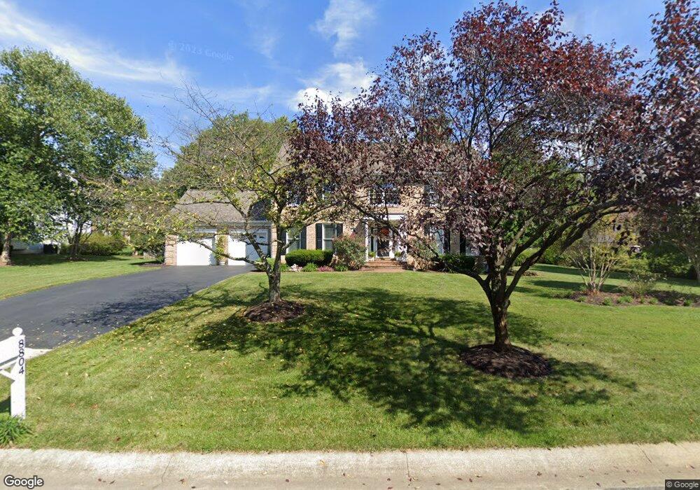
8804 Herons Flight Laurel, MD 20723
Estimated Value: $719,000 - $836,000
Studio
3
Baths
2,464
Sq Ft
$311/Sq Ft
Est. Value
About This Home
This home is located at 8804 Herons Flight, Laurel, MD 20723 and is currently estimated at $765,354, approximately $310 per square foot. 8804 Herons Flight is a home located in Howard County with nearby schools including Hammond Elementary School, Hammond Middle School, and Reservoir High School.
Ownership History
Date
Name
Owned For
Owner Type
Purchase Details
Closed on
Oct 28, 1994
Sold by
Millard J M
Bought by
Olenick John G
Current Estimated Value
Home Financials for this Owner
Home Financials are based on the most recent Mortgage that was taken out on this home.
Original Mortgage
$270,000
Interest Rate
8.65%
Purchase Details
Closed on
Dec 26, 1990
Sold by
J J M Inc
Bought by
Millard J Michael
Home Financials for this Owner
Home Financials are based on the most recent Mortgage that was taken out on this home.
Original Mortgage
$208,000
Interest Rate
9.64%
Create a Home Valuation Report for This Property
The Home Valuation Report is an in-depth analysis detailing your home's value as well as a comparison with similar homes in the area
Home Values in the Area
Average Home Value in this Area
Purchase History
| Date | Buyer | Sale Price | Title Company |
|---|---|---|---|
| Olenick John G | $300,000 | -- | |
| Millard J Michael | $80,000 | -- |
Source: Public Records
Mortgage History
| Date | Status | Borrower | Loan Amount |
|---|---|---|---|
| Closed | Olenick John G | $270,000 | |
| Previous Owner | Millard J Michael | $208,000 |
Source: Public Records
Tax History
| Year | Tax Paid | Tax Assessment Tax Assessment Total Assessment is a certain percentage of the fair market value that is determined by local assessors to be the total taxable value of land and additions on the property. | Land | Improvement |
|---|---|---|---|---|
| 2025 | $9,462 | $657,400 | $248,300 | $409,100 |
| 2024 | $9,462 | $624,033 | $0 | $0 |
| 2023 | $8,874 | $590,667 | $0 | $0 |
| 2022 | $8,423 | $557,300 | $218,300 | $339,000 |
| 2021 | $8,380 | $546,167 | $0 | $0 |
| 2020 | $8,380 | $535,033 | $0 | $0 |
| 2019 | $8,220 | $523,900 | $231,200 | $292,700 |
| 2018 | $7,832 | $523,900 | $231,200 | $292,700 |
| 2017 | $7,806 | $523,900 | $0 | $0 |
| 2016 | -- | $544,900 | $0 | $0 |
| 2015 | -- | $525,933 | $0 | $0 |
| 2014 | -- | $506,967 | $0 | $0 |
Source: Public Records
Map
Nearby Homes
- 8616 Doves Fly Way
- 9890 Deer Run
- 10571 Scaggsville Rd
- 7209 Brooklyn Bridge Rd
- 7106 Donston Dr
- 9437 Fairview Ave
- 9429 Fairview Ave
- 9425 Fairview Ave
- 16140 Kenny Rd
- 9342 Canterbury Riding
- 9711 Whiskey Run
- 1211 Snowden Place
- 10213 Deep Skies Dr
- 9843 Snow Bird Ln
- 9401 Riverbrink Ct
- 15743 Millbrook Ln
- 15708 Dorset Rd Unit 202
- 10747 Glen Hannah Dr
- 15706 Dorset Rd Unit 102
- 7019 Fitzpatrick Dr
- 8810 Herons Flight
- 8828 Doves Fly Way
- 8824 Doves Fly Way
- 8814 Herons Flight
- 8820 Doves Fly Way
- 8809 Herons Flight
- 8805 Herons Flight
- 8801 Herons Flight
- 8822 Herons Flight
- 8821 Herons Flight
- 8818 Herons Flight
- 8816 Doves Fly Way
- 8803 Bluebird Trace
- 8813 Herons Flight
- 8842 Doves Fly Way
- 8817 Herons Flight
- 8812 Doves Fly Way
- 8833 Herons Flight
- 8827 Doves Fly Way
- 8838 Doves Fly Way
Your Personal Tour Guide
Ask me questions while you tour the home.