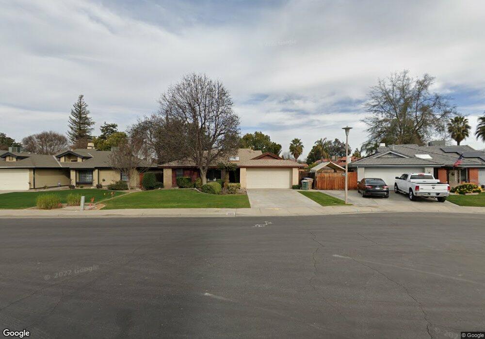
8808 Gleeson Ct Bakersfield, CA 93311
Gosford NeighborhoodEstimated Value: $342,000 - $401,000
About This Home
This home is located at 8808 Gleeson Ct, Bakersfield, CA 93311 and is currently estimated at $372,035, approximately $283 per square foot. 8808 Gleeson Ct is a home located in Kern County with nearby schools including Sing Lum Elementary School, Tevis Junior High School, and Stockdale High School.
Ownership History
We collect this data history from publicly available records. To have your information removed, we recommend requesting removal directly through your county’s website.
Purchase Details
Home Financials for this Owner
Home Financials are based on the most recent Mortgage that was taken out on this home.Purchase Details
Home Values in the Area
Average Home Value in this Area
Purchase History
We collect this data history from publicly available records. To have your information removed, we recommend requesting removal directly through your county’s website.
| Date | Buyer | Sale Price | Title Company |
|---|---|---|---|
| $320,000 | Chicago Title | ||
| -- | None Available |
Mortgage History
We collect this data history from publicly available records. To have your information removed, we recommend requesting removal directly through your county’s website.
| Date | Status | Borrower | Loan Amount |
|---|---|---|---|
| Open | $240,000 |
Tax History
We collect this data history from publicly available records. To have your information removed, we recommend requesting removal directly through your county’s website.
| Year | Tax Paid | Tax Assessment Tax Assessment Total Assessment is a certain percentage of the fair market value that is determined by local assessors to be the total taxable value of land and additions on the property. | Land | Improvement |
|---|---|---|---|---|
| 2025 | $4,647 | $326,400 | $127,500 | $198,900 |
| 2024 | $4,647 | $320,000 | $125,000 | $195,000 |
| 2023 | $3,130 | $194,581 | $50,974 | $143,607 |
| 2022 | $3,006 | $190,767 | $49,975 | $140,792 |
| 2021 | $2,892 | $187,028 | $48,996 | $138,032 |
| 2020 | $2,841 | $185,111 | $48,494 | $136,617 |
| 2019 | $2,720 | $185,111 | $48,494 | $136,617 |
| 2018 | $2,603 | $177,925 | $46,612 | $131,313 |
| 2017 | $2,565 | $174,438 | $45,699 | $128,739 |
| 2016 | $2,408 | $171,018 | $44,803 | $126,215 |
| 2015 | $2,385 | $168,451 | $44,131 | $124,320 |
| 2014 | $2,328 | $165,152 | $43,267 | $121,885 |
Map
- 9000 Crowningshield Dr
- 8521 Bellows Ave
- 8817 Sierra Oak Dr
- 8821 Sierra Oak Dr
- 8836 Sierra Oak Dr
- 9200 Lacroix Ct
- 9405 Salinger St
- 8300 Black Knot Ct
- 8817 Andrieu Ct
- 3901 Boswellia Dr
- 9508 Bard Ct
- 3830 Boswellia Dr
- 3519 Amur Maple Dr
- 9324 Lacroix Ct
- 9001 Coulter Ct
- 8916 Landover Ln
- 9703 Touchstone Dr
- 9102 Whitman Ave
- 9112 Bridlewood Ln
- 9711 Touchstone Dr
- 8812 Gleeson Ct
- 8804 Gleeson Ct
- 8816 Gleeson Ct
- 8905 Duncanson Dr
- 8901 Duncanson Dr
- 8909 Duncanson Dr
- 8813 Duncanson Dr
- 8809 Duncanson Dr
- 8800 Gleeson Ct
- 8900 Gleeson Ct
- 8809 Gleeson Ct
- 8913 Duncanson Dr
- 8813 Gleeson Ct
- 8805 Duncanson Dr
- 8805 Gleeson Ct
- 8901 Gleeson Ct
- 8801 Gleeson Ct
- 8917 Duncanson Dr
- 8904 Gleeson Ct
- 8801 Duncanson Dr
Ask me questions while you tour the home.