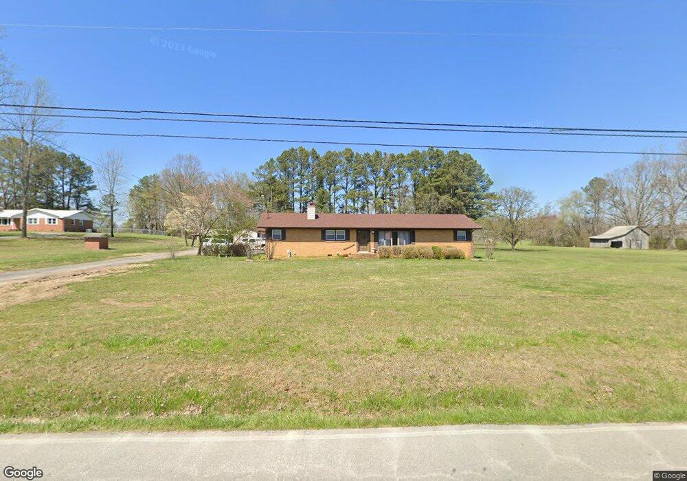
881 Ragsdale Rd Manchester, TN 37355
Estimated Value: $242,001 - $321,000
--
Bed
1
Bath
1,890
Sq Ft
$154/Sq Ft
Est. Value
About This Home
This home is located at 881 Ragsdale Rd, Manchester, TN 37355 and is currently estimated at $292,000, approximately $154 per square foot. 881 Ragsdale Rd is a home located in Coffee County with nearby schools including Westwood Middle School and Temple Baptist Christian School.
Ownership History
Date
Name
Owned For
Owner Type
Purchase Details
Closed on
Oct 20, 2017
Sold by
Wells Perry Gale and Wells Rosa
Bought by
Zeigler Jerett E and Zeigler Lance
Current Estimated Value
Home Financials for this Owner
Home Financials are based on the most recent Mortgage that was taken out on this home.
Original Mortgage
$125,600
Outstanding Balance
$104,799
Interest Rate
3.78%
Mortgage Type
New Conventional
Estimated Equity
$187,201
Create a Home Valuation Report for This Property
The Home Valuation Report is an in-depth analysis detailing your home's value as well as a comparison with similar homes in the area
Home Values in the Area
Average Home Value in this Area
Purchase History
| Date | Buyer | Sale Price | Title Company |
|---|---|---|---|
| Zeigler Jerett E | $157,000 | None Available |
Source: Public Records
Mortgage History
| Date | Status | Borrower | Loan Amount |
|---|---|---|---|
| Open | Zeigler Jerett E | $125,600 |
Source: Public Records
Tax History Compared to Growth
Tax History
| Year | Tax Paid | Tax Assessment Tax Assessment Total Assessment is a certain percentage of the fair market value that is determined by local assessors to be the total taxable value of land and additions on the property. | Land | Improvement |
|---|---|---|---|---|
| 2024 | $1,760 | $41,750 | $6,050 | $35,700 |
| 2023 | $1,760 | $41,750 | $0 | $0 |
| 2022 | $1,515 | $41,750 | $6,050 | $35,700 |
| 2021 | $1,462 | $31,925 | $4,075 | $27,850 |
| 2020 | $1,462 | $31,925 | $4,075 | $27,850 |
| 2019 | $1,462 | $31,925 | $4,075 | $27,850 |
| 2018 | $1,462 | $31,925 | $4,075 | $27,850 |
| 2017 | $1,049 | $20,000 | $4,825 | $15,175 |
| 2016 | $1,049 | $20,000 | $4,825 | $15,175 |
| 2015 | $1,049 | $20,000 | $4,825 | $15,175 |
| 2014 | $1,049 | $20,000 | $0 | $0 |
Source: Public Records
Map
Nearby Homes
- 775 Ragsdale Rd
- 627 Ragsdale Rd
- 215 Wellington Dr
- 1395 Ragsdale Rd
- 1292 McMinnville Hwy
- 793 Old Bushy Branch Rd
- 304 W Lynn Dr
- 416 Powers Rd
- 31 Stonehenge Ln S
- 54 Stonehenge Ln E
- 58 Stonehenge Ln
- 76 Stonehenge Ln N
- 1989 Elevation JKL Plan at Stonehenge
- 1726 Elevation JKL Plan at Stonehenge
- 1824 Elevation JKL Plan at Stonehenge
- 1258 Stonehenge Plan at Stonehenge
- 2073 Elevation JKL Plan at Stonehenge
- 1624 Elevation JKL Plan at Stonehenge
- Henry Plan at Stonehenge
- 1315 Elevation JKL Plan at Stonehenge
- 870 Ragsdale Rd
- 839 Ragsdale Rd
- 900 Ragsdale Rd
- 916 Ragsdale Rd
- 848 Ragsdale Rd
- 815 Ragsdale Rd
- 51 Swing Away Dr
- 17 Kettrell St
- 59 Teakwood Dr
- 69 Kettrell St
- 39 Teakwood Dr
- 968 Ragsdale Rd
- 79 Swing Away Dr
- 55 Kettrell St
- 768 Ragsdale Rd
- 0 Circle Ave
- 751 Ragsdale Rd
- 58 Teakwood Dr
- 119 Swing Away Dr
- 742 Ragsdale Rd