881 Upper Plott Town Rd Young Harris, GA 30582
Estimated Value: $673,000 - $801,621
2
Beds
1
Bath
1,496
Sq Ft
$484/Sq Ft
Est. Value
About This Home
This home is located at 881 Upper Plott Town Rd, Young Harris, GA 30582 and is currently estimated at $724,540, approximately $484 per square foot. 881 Upper Plott Town Rd is a home with nearby schools including Union County Primary School, Union County Elementary School, and Union County Middle School.
Ownership History
Date
Name
Owned For
Owner Type
Purchase Details
Closed on
Jun 14, 2023
Sold by
Jones Robin D
Bought by
The Jones Family Irrev Mapt
Current Estimated Value
Purchase Details
Closed on
Jul 3, 2013
Sold by
Jones Robin D
Bought by
Jones Robin D and Jones Mary Emma
Home Financials for this Owner
Home Financials are based on the most recent Mortgage that was taken out on this home.
Original Mortgage
$226,870
Interest Rate
2.88%
Mortgage Type
New Conventional
Create a Home Valuation Report for This Property
The Home Valuation Report is an in-depth analysis detailing your home's value as well as a comparison with similar homes in the area
Home Values in the Area
Average Home Value in this Area
Purchase History
| Date | Buyer | Sale Price | Title Company |
|---|---|---|---|
| The Jones Family Irrev Mapt | -- | -- | |
| Jones Robin D | -- | -- |
Source: Public Records
Mortgage History
| Date | Status | Borrower | Loan Amount |
|---|---|---|---|
| Previous Owner | Jones Robin D | $226,870 |
Source: Public Records
Tax History Compared to Growth
Tax History
| Year | Tax Paid | Tax Assessment Tax Assessment Total Assessment is a certain percentage of the fair market value that is determined by local assessors to be the total taxable value of land and additions on the property. | Land | Improvement |
|---|---|---|---|---|
| 2024 | $4,150 | $353,448 | $50,840 | $302,608 |
| 2023 | $4,077 | $308,248 | $11,360 | $296,888 |
| 2022 | $3,290 | $249,148 | $10,520 | $238,628 |
| 2021 | $3,135 | $200,948 | $10,520 | $190,428 |
| 2020 | $2,323 | $124,786 | $12,125 | $112,661 |
| 2019 | $2,196 | $124,786 | $12,125 | $112,661 |
| 2018 | $2,192 | $124,786 | $12,125 | $112,661 |
| 2017 | $2,157 | $124,786 | $12,125 | $112,661 |
| 2016 | $2,158 | $124,786 | $12,125 | $112,661 |
| 2015 | $2,176 | $124,786 | $12,125 | $112,661 |
| 2013 | -- | $124,786 | $12,124 | $112,661 |
Source: Public Records
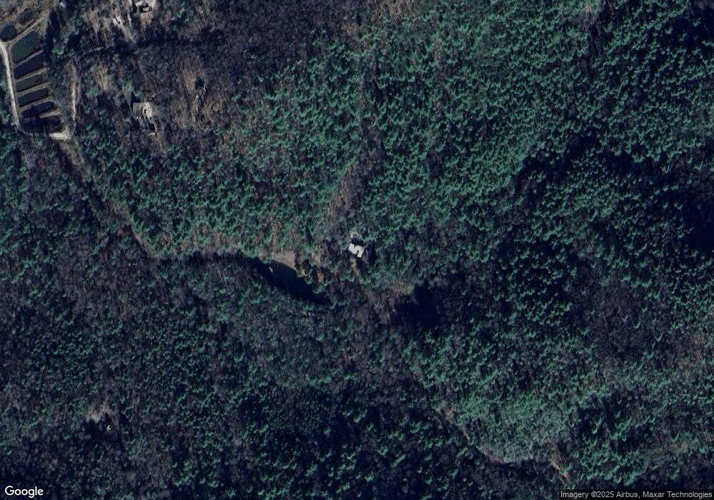
Map
Nearby Homes
- 307 Plott Town Overlook
- Lot 54 The Preserve
- 187 Bierce Dr
- 261 Spring Rd
- 7 Spring Rd
- Lot 228 the Cove @ 1300
- 82 Rileigh Ridge
- 1249 Trackrock Gap Rd
- 1396 Deerfield Rd
- #68 Summerwood Ln
- 162 Grandview Dr
- 92 McTyeire Dr
- 83 McTyeire Dr
- 35 McTyeire Dr
- 1631 Woods Valley Rd
- 1 Thomas Town Rd
- 1628 Woods Valley Rd
- . Upper Plott Town Rd
- 115 E E Lane Dr
- 796 Upper Plott Town Rd
- 157 E E Lane Dr
- 1323 Upper Plott Town Rd
- 4705 Upper Plott Town Rd
- 4717 Upper Plott Town Rd
- 572 Upper Plott Town Rd
- 4792 Zip Rd
- 4794 Zip Rd
- 4675 Kirsch Ln
- 0 Murray Ln Unit 8334674
- 4831 Upper Plott Town Rd
- 4831 Upper Plott Town Rd
- 4682 Kirsch Ln
- 4722 Rodovich Dr
- 4724 Rodovich Dr
- 409 Plott Town Rd
- 4722 Rodovich Dr
- 1599 Upper Plott Town