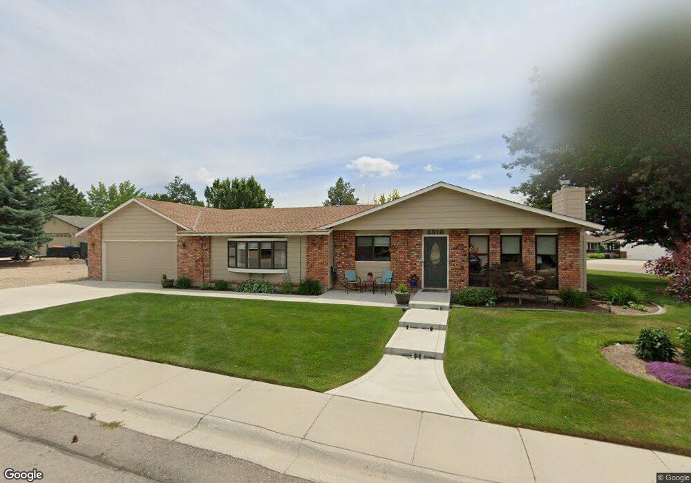
8816 Kiowa Dr Boise, ID 83709
Southwest Boise NeighborhoodEstimated Value: $513,000 - $580,000
3
Beds
2
Baths
2,057
Sq Ft
$267/Sq Ft
Est. Value
About This Home
This home is located at 8816 Kiowa Dr, Boise, ID 83709 and is currently estimated at $548,467, approximately $266 per square foot. 8816 Kiowa Dr is a home located in Ada County with nearby schools including Silver Sage Elementary School, Lake Hazel Middle School, and Mountain View High School.
Ownership History
Date
Name
Owned For
Owner Type
Purchase Details
Closed on
Oct 22, 2024
Sold by
Johnson Marla J
Bought by
Halvorsen Jayne M
Current Estimated Value
Home Financials for this Owner
Home Financials are based on the most recent Mortgage that was taken out on this home.
Original Mortgage
$467,415
Outstanding Balance
$462,254
Interest Rate
6.09%
Mortgage Type
New Conventional
Estimated Equity
$86,213
Purchase Details
Closed on
Oct 23, 2020
Sold by
Stemple Marla J and Johnson Marla J
Bought by
Johnson Marla J
Create a Home Valuation Report for This Property
The Home Valuation Report is an in-depth analysis detailing your home's value as well as a comparison with similar homes in the area
Home Values in the Area
Average Home Value in this Area
Purchase History
| Date | Buyer | Sale Price | Title Company |
|---|---|---|---|
| Halvorsen Jayne M | -- | Venture Title & Escrow Company | |
| Johnson Marla J | -- | None Available |
Source: Public Records
Mortgage History
| Date | Status | Borrower | Loan Amount |
|---|---|---|---|
| Open | Halvorsen Jayne M | $467,415 |
Source: Public Records
Tax History Compared to Growth
Tax History
| Year | Tax Paid | Tax Assessment Tax Assessment Total Assessment is a certain percentage of the fair market value that is determined by local assessors to be the total taxable value of land and additions on the property. | Land | Improvement |
|---|---|---|---|---|
| 2025 | $1,269 | $498,100 | -- | -- |
| 2024 | $1,175 | $442,300 | -- | -- |
| 2023 | $1,175 | $392,200 | $0 | $0 |
| 2022 | $1,566 | $485,900 | $0 | $0 |
| 2021 | $1,615 | $403,100 | $0 | $0 |
| 2020 | $1,481 | $296,800 | $0 | $0 |
| 2019 | $1,756 | $290,700 | $0 | $0 |
| 2018 | $1,412 | $244,700 | $0 | $0 |
| 2017 | $1,220 | $217,300 | $0 | $0 |
| 2016 | $1,179 | $202,700 | $0 | $0 |
| 2015 | $925 | $183,000 | $0 | $0 |
| 2012 | -- | $133,000 | $0 | $0 |
Source: Public Records
Map
Nearby Homes
- 9339 W Sageberry Dr
- 9303 W Stirrup Dr
- 9212 W Brogan Dr
- 6022 S Snowshoe Ave
- 9516 W Portola Dr
- 9173 W Brogan Dr
- 2959 S Saturn Way
- 8335 W Grubstake St
- 4667 S Shawnee Way
- 4735 S Rawhide Ave
- 7887 W Orbit Dr
- 9266 W Lillywood Dr
- 6986 S Dewberry Ave
- 7967 W Tillamook Dr
- 9962 W Rustica St
- 9538 W Silverbirch St
- 10292 W Brownstone Dr
- 9529 W Mossywood Dr
- 5708 S Kimmer Cove Way
- 10062 W Rustica St