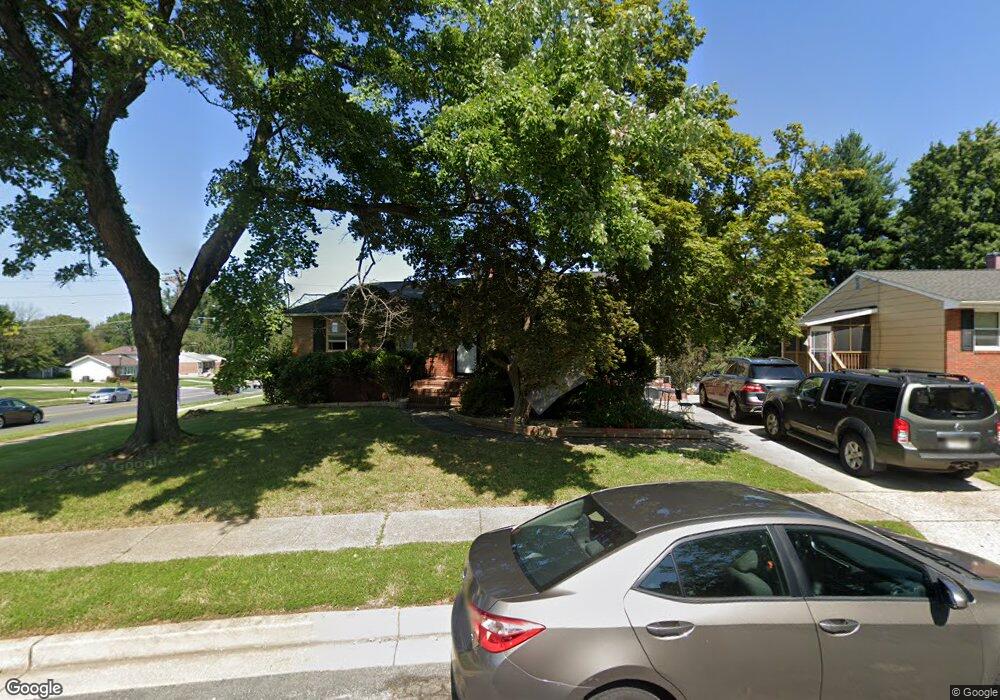
8816 Stephanie Rd Randallstown, MD 21133
Estimated Value: $310,000 - $353,000
4
Beds
3
Baths
1,200
Sq Ft
$282/Sq Ft
Est. Value
About This Home
This home is located at 8816 Stephanie Rd, Randallstown, MD 21133 and is currently estimated at $337,975, approximately $281 per square foot. 8816 Stephanie Rd is a home located in Baltimore County with nearby schools including Church Lane Elementary Technology School, Northwest Academy of Health Sciences, and Randallstown High School.
Ownership History
Date
Name
Owned For
Owner Type
Purchase Details
Closed on
Nov 4, 2009
Sold by
Kaufman Robert M
Bought by
Romain Youmbi
Current Estimated Value
Purchase Details
Closed on
Feb 13, 2006
Sold by
Katlin Evette Nan
Bought by
Katlin Evette Nan
Purchase Details
Closed on
Jan 30, 2006
Sold by
Katlin Evette Nan
Bought by
Katlin Evette Nan
Purchase Details
Closed on
May 13, 2005
Sold by
Kaufman Diana R
Bought by
Katlin Evette Nan
Purchase Details
Closed on
Jan 7, 1999
Sold by
Kaufman Diana R
Bought by
Kaufman Diana R
Create a Home Valuation Report for This Property
The Home Valuation Report is an in-depth analysis detailing your home's value as well as a comparison with similar homes in the area
Home Values in the Area
Average Home Value in this Area
Purchase History
| Date | Buyer | Sale Price | Title Company |
|---|---|---|---|
| Romain Youmbi | $220,500 | -- | |
| Katlin Evette Nan | -- | -- | |
| Katlin Evette Nan | -- | -- | |
| Katlin Evette Nan | -- | -- | |
| Kaufman Diana R | -- | -- |
Source: Public Records
Tax History Compared to Growth
Tax History
| Year | Tax Paid | Tax Assessment Tax Assessment Total Assessment is a certain percentage of the fair market value that is determined by local assessors to be the total taxable value of land and additions on the property. | Land | Improvement |
|---|---|---|---|---|
| 2025 | $3,338 | $250,633 | -- | -- |
| 2024 | $3,338 | $235,500 | $74,300 | $161,200 |
| 2023 | $1,675 | $218,267 | $0 | $0 |
| 2022 | $3,163 | $201,033 | $0 | $0 |
| 2021 | $3,316 | $183,800 | $56,300 | $127,500 |
| 2020 | $3,316 | $183,233 | $0 | $0 |
| 2019 | $3,042 | $182,667 | $0 | $0 |
| 2018 | $2,875 | $182,100 | $56,300 | $125,800 |
| 2017 | $2,722 | $169,400 | $0 | $0 |
| 2016 | $2,967 | $156,700 | $0 | $0 |
| 2015 | $2,967 | $144,000 | $0 | $0 |
| 2014 | $2,967 | $144,000 | $0 | $0 |
Source: Public Records
Map
Nearby Homes
- 3659 Brenbrook Dr
- 3714 Stoneybrook Rd
- 8808 Church Ln
- 3709 Fieldstone Rd
- 8829 Sigrid Rd
- 8908 Meadow Heights Rd
- 3705 Allenswood Ct
- 3907 Roxanne Rd
- 8541 Lucerne Rd
- 4001 Starbrook Rd
- 9044 Allenswood Rd
- 8513 Charlton Rd
- 3506 Bayer Ave
- 8829 Falcon Ridge Dr
- 3805 Terka Cir
- 8802 Falcon Ridge Dr
- 8948 Harkate Way
- 3418 Carroll Ave
- 9124 Liberty Rd
- 8806 Gilly Way Unit D
- 8814 Stephanie Rd
- 8817 Allenswood Rd
- 8815 Allenswood Rd
- 8812 Stephanie Rd
- 3719 Brenbrook Dr
- 3722 Brenbrook Dr
- 8813 Allenswood Rd
- 3724 Brenbrook Dr
- 3720 Brenbrook Dr
- 8810 Stephanie Rd
- 3718 Brenbrook Dr
- 8811 Stephanie Rd
- 3717 Brenbrook Dr
- 8811 Allenswood Rd
- 8823 Allenswood Rd
- 3801 Brenbrook Dr
- 3716 Brenbrook Dr
- 8808 Stephanie Rd
- 8809 Allenswood Rd
- 8809 Stephanie Rd