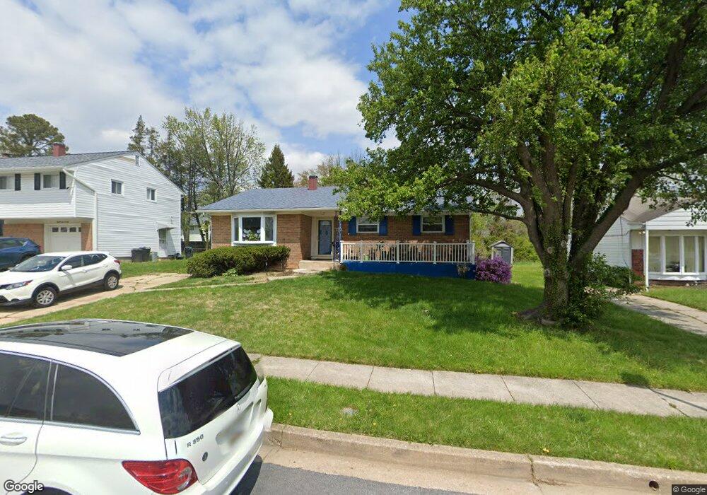
8818 Sigrid Rd Randallstown, MD 21133
Estimated Value: $320,000 - $412,000
--
Bed
3
Baths
1,350
Sq Ft
$269/Sq Ft
Est. Value
About This Home
This home is located at 8818 Sigrid Rd, Randallstown, MD 21133 and is currently estimated at $362,992, approximately $268 per square foot. 8818 Sigrid Rd is a home located in Baltimore County with nearby schools including Church Lane Elementary Technology School, Northwest Academy of Health Sciences, and Randallstown High School.
Ownership History
Date
Name
Owned For
Owner Type
Purchase Details
Closed on
Dec 26, 2006
Sold by
Ganesan Ramakrishnan
Bought by
Holmes Candace
Current Estimated Value
Home Financials for this Owner
Home Financials are based on the most recent Mortgage that was taken out on this home.
Original Mortgage
$188,000
Outstanding Balance
$112,972
Interest Rate
6.31%
Mortgage Type
Purchase Money Mortgage
Estimated Equity
$250,020
Purchase Details
Closed on
Oct 25, 2006
Sold by
Ganesan Ramakrishnan
Bought by
Holmes Candace
Home Financials for this Owner
Home Financials are based on the most recent Mortgage that was taken out on this home.
Original Mortgage
$188,000
Interest Rate
6.31%
Mortgage Type
Purchase Money Mortgage
Purchase Details
Closed on
Aug 23, 2002
Sold by
Houston Augustus L
Bought by
Ganesan Ramakrishnan and Ganesan Jhansi R
Purchase Details
Closed on
Nov 18, 1985
Sold by
Schweriner Robert Louis
Bought by
Houston Augustus L
Create a Home Valuation Report for This Property
The Home Valuation Report is an in-depth analysis detailing your home's value as well as a comparison with similar homes in the area
Home Values in the Area
Average Home Value in this Area
Purchase History
| Date | Buyer | Sale Price | Title Company |
|---|---|---|---|
| Holmes Candace | $235,000 | -- | |
| Holmes Candace | $235,000 | -- | |
| Ganesan Ramakrishnan | $139,999 | -- | |
| Houston Augustus L | $77,800 | -- |
Source: Public Records
Mortgage History
| Date | Status | Borrower | Loan Amount |
|---|---|---|---|
| Open | Holmes Candace | $188,000 | |
| Previous Owner | Holmes Candace | $188,000 |
Source: Public Records
Tax History Compared to Growth
Tax History
| Year | Tax Paid | Tax Assessment Tax Assessment Total Assessment is a certain percentage of the fair market value that is determined by local assessors to be the total taxable value of land and additions on the property. | Land | Improvement |
|---|---|---|---|---|
| 2025 | $3,448 | $319,400 | -- | -- |
| 2024 | $3,448 | $298,500 | $74,000 | $224,500 |
| 2023 | $1,763 | $274,333 | $0 | $0 |
| 2022 | $3,226 | $250,167 | $0 | $0 |
| 2021 | $3,147 | $226,000 | $56,000 | $170,000 |
| 2020 | $3,147 | $217,867 | $0 | $0 |
| 2019 | $2,866 | $209,733 | $0 | $0 |
| 2018 | $2,681 | $201,600 | $56,000 | $145,600 |
| 2017 | $2,471 | $185,267 | $0 | $0 |
| 2016 | $3,274 | $168,933 | $0 | $0 |
| 2015 | $3,274 | $152,600 | $0 | $0 |
| 2014 | $3,274 | $152,600 | $0 | $0 |
Source: Public Records
Map
Nearby Homes
- 4001 Starbrook Rd
- 8541 Lucerne Rd
- 3907 Roxanne Rd
- 8908 Meadow Heights Rd
- 3659 Brenbrook Dr
- 8802 Falcon Ridge Dr
- 3714 Stoneybrook Rd
- 8829 Falcon Ridge Dr
- 8808 Church Ln
- 4108 Century Towne Rd
- 8513 Charlton Rd
- 4210 Mary Ridge Dr
- 8806 Gilly Way Unit D
- 3709 Fieldstone Rd
- 20 Windy Meadow Ct
- 4816 Valley Forge Rd
- 4818 Oakland Park Rd
- 9044 Allenswood Rd
- 4812 Valley Forge Rd
- 3705 Allenswood Ct