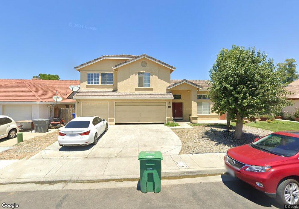
882 Neal Ct Los Banos, CA 93635
Estimated Value: $458,000 - $582,000
4
Beds
3
Baths
2,571
Sq Ft
$208/Sq Ft
Est. Value
About This Home
This home is located at 882 Neal Ct, Los Banos, CA 93635 and is currently estimated at $535,247, approximately $208 per square foot. 882 Neal Ct is a home located in Merced County with nearby schools including Henry Miller Elementary School, Westside Union Elementary School, and Creekside Junior High School.
Ownership History
Date
Name
Owned For
Owner Type
Purchase Details
Closed on
May 25, 2016
Sold by
Fang Yan
Bought by
Fang Yan and Yan Fang Trust
Current Estimated Value
Purchase Details
Closed on
Aug 26, 2010
Sold by
Dominguez Stella M
Bought by
Fang Yan
Home Financials for this Owner
Home Financials are based on the most recent Mortgage that was taken out on this home.
Original Mortgage
$123,000
Outstanding Balance
$81,509
Interest Rate
4.51%
Mortgage Type
New Conventional
Estimated Equity
$453,738
Purchase Details
Closed on
Feb 8, 1998
Sold by
Anderson Homes Inc
Bought by
Dominguez Stella M
Home Financials for this Owner
Home Financials are based on the most recent Mortgage that was taken out on this home.
Original Mortgage
$182,592
Interest Rate
6.9%
Purchase Details
Closed on
May 13, 1997
Sold by
Kakuei Usa
Bought by
Anderson Homes Inc
Create a Home Valuation Report for This Property
The Home Valuation Report is an in-depth analysis detailing your home's value as well as a comparison with similar homes in the area
Home Values in the Area
Average Home Value in this Area
Purchase History
| Date | Buyer | Sale Price | Title Company |
|---|---|---|---|
| Fang Yan | -- | None Available | |
| Fang Yan | $170,000 | Fidelity National Title Co | |
| Dominguez Stella M | $193,000 | Chicago Title Co | |
| Anderson Homes Inc | $713,000 | Chicago Title Co |
Source: Public Records
Mortgage History
| Date | Status | Borrower | Loan Amount |
|---|---|---|---|
| Open | Fang Yan | $123,000 | |
| Previous Owner | Dominguez Stella M | $182,592 |
Source: Public Records
Tax History Compared to Growth
Tax History
| Year | Tax Paid | Tax Assessment Tax Assessment Total Assessment is a certain percentage of the fair market value that is determined by local assessors to be the total taxable value of land and additions on the property. | Land | Improvement |
|---|---|---|---|---|
| 2025 | $2,720 | $217,790 | $12,806 | $204,984 |
| 2024 | $2,720 | $213,520 | $12,555 | $200,965 |
| 2023 | $2,558 | $209,334 | $12,309 | $197,025 |
| 2022 | $2,499 | $205,230 | $12,068 | $193,162 |
| 2021 | $2,455 | $201,207 | $11,832 | $189,375 |
| 2020 | $2,410 | $199,145 | $11,711 | $187,434 |
| 2019 | $2,365 | $195,241 | $11,482 | $183,759 |
| 2018 | $2,294 | $191,413 | $11,257 | $180,156 |
| 2017 | $2,266 | $187,661 | $11,037 | $176,624 |
| 2016 | $2,272 | $183,982 | $10,821 | $173,161 |
| 2015 | $2,213 | $181,219 | $10,659 | $170,560 |
| 2014 | $2,142 | $177,670 | $10,451 | $167,219 |
Source: Public Records
Map
Nearby Homes
- 1631 Fir Dr
- 1010 Neal St
- 1622 Fir Dr
- 859 Sandra St
- 942 Garden St
- 1036 Sandra St
- 1149 Bellflower Way
- 1862 Dunite Dr
- 662 Willow Way
- 1125 Pearl Dr
- 683 Alder Ln
- 1859 Felsite St
- 1732 Cobblefield Ln
- 1502 Paradise Ln
- 1619 Tumbleweed Way
- 1664 Dolomite Dr
- The Pacifica Plan at Westbrook
- The Big Sur Plan at Westbrook
- The Capitola Plan at Westbrook
- The Montara Plan at Westbrook