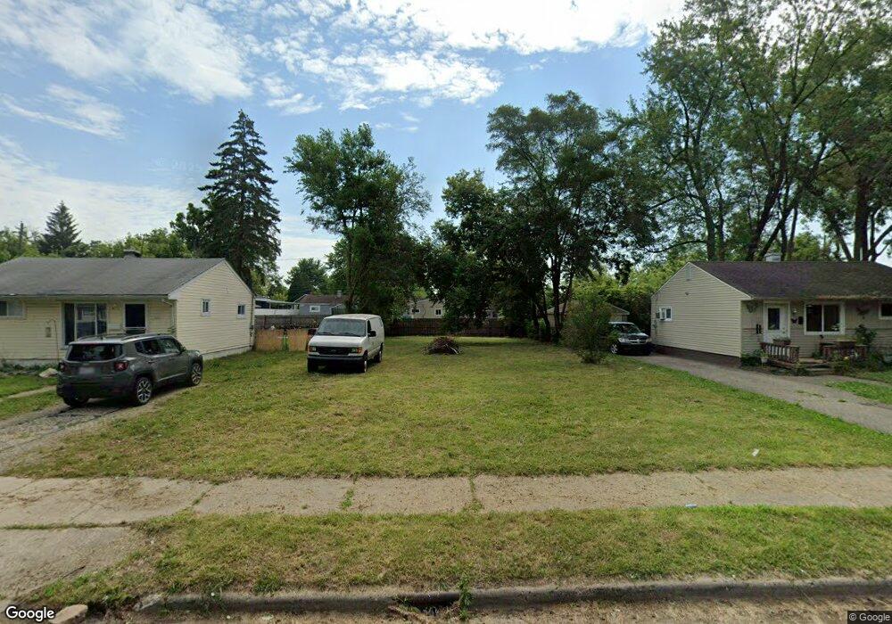
882 Stirling St Pontiac, MI 48340
Estimated Value: $121,000 - $138,000
3
Beds
1
Bath
1,057
Sq Ft
$120/Sq Ft
Est. Value
About This Home
This home is located at 882 Stirling St, Pontiac, MI 48340 and is currently estimated at $127,000, approximately $120 per square foot. 882 Stirling St is a home located in Oakland County with nearby schools including Herrington Elementary School, Pontiac Middle School, and Pontiac High School.
Ownership History
Date
Name
Owned For
Owner Type
Purchase Details
Closed on
Sep 12, 2016
Sold by
Mg Rental Properties Llc
Bought by
Marroquin Wilder H
Current Estimated Value
Purchase Details
Closed on
Dec 16, 2012
Sold by
Mihaj Metjana and Grazhdani Alma
Bought by
M G Rental Properties Llc
Purchase Details
Closed on
Oct 31, 2012
Sold by
Oakland County Treasurer
Bought by
M G Rental Properties
Purchase Details
Closed on
Aug 7, 1997
Sold by
Stites Steven J
Bought by
Loveland Kay
Home Financials for this Owner
Home Financials are based on the most recent Mortgage that was taken out on this home.
Original Mortgage
$33,950
Interest Rate
7.56%
Create a Home Valuation Report for This Property
The Home Valuation Report is an in-depth analysis detailing your home's value as well as a comparison with similar homes in the area
Home Values in the Area
Average Home Value in this Area
Purchase History
| Date | Buyer | Sale Price | Title Company |
|---|---|---|---|
| Marroquin Wilder H | $1,500 | None Available | |
| M G Rental Properties Llc | -- | None Available | |
| M G Rental Properties | $8,750 | None Available | |
| Loveland Kay | $48,500 | -- |
Source: Public Records
Mortgage History
| Date | Status | Borrower | Loan Amount |
|---|---|---|---|
| Previous Owner | Loveland Kay | $33,950 |
Source: Public Records
Tax History Compared to Growth
Tax History
| Year | Tax Paid | Tax Assessment Tax Assessment Total Assessment is a certain percentage of the fair market value that is determined by local assessors to be the total taxable value of land and additions on the property. | Land | Improvement |
|---|---|---|---|---|
| 2024 | $104 | $4,110 | $0 | $0 |
| 2023 | $99 | $3,160 | $0 | $0 |
| 2022 | $96 | $2,870 | $0 | $0 |
| 2021 | $94 | $2,140 | $0 | $0 |
| 2020 | $291 | $1,660 | $0 | $0 |
| 2019 | $94 | $1,660 | $0 | $0 |
| 2018 | $156 | $1,660 | $0 | $0 |
| 2017 | $343 | $1,660 | $0 | $0 |
| 2016 | $345 | $7,720 | $0 | $0 |
| 2015 | -- | $7,080 | $0 | $0 |
| 2014 | -- | $6,900 | $0 | $0 |
| 2011 | -- | $21,710 | $0 | $0 |
Source: Public Records
Map
Nearby Homes
- 821 Robinwood St
- 785 Kenilworth Ave
- 802 Cameron Ave
- 790 Cameron Ave
- 790 Parkwood Ave
- 770 Cameron Ave
- 973 Kettering Ave
- 808 Kettering Ave
- 715 Kenilworth Ave
- 663 Lenox Ave
- 644 Brady Ln
- 731 1st Ave
- 667 Raskob St
- 457 Cameron Ave
- 630 E Madison Ave
- 627 Wesbrook St
- 608 Brady Ln
- 620 Wesbrook St
- 602 Brady Ln
- 778 4th Ave
- 886 Stirling St
- 876 Stirling St
- 883 Melrose St
- 887 Melrose St
- 896 Stirling St
- 872 Stirling St
- 893 Melrose St
- 873 Melrose St
- 885 S Stirling
- 885 Stirling St
- 881 Stirling St
- 891 Stirling St
- 903 Melrose St
- 875 Stirling St
- 862 Stirling St
- 871 Stirling St
- 895 Stirling St
- 859 Melrose St
- 901 Stirling St
- 856 S Stirling