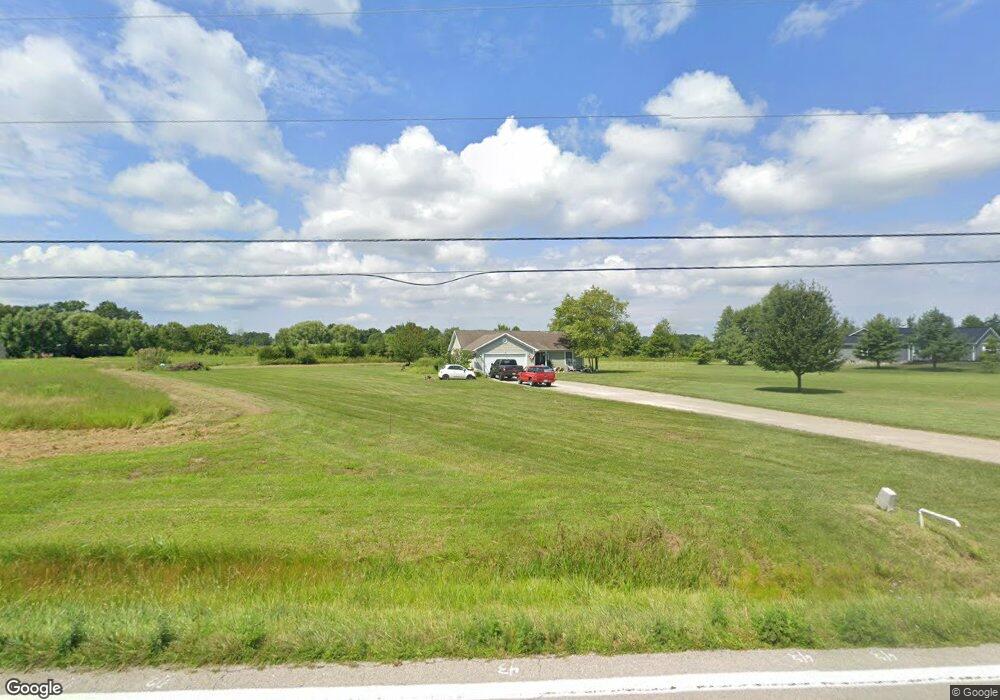
8822 State Route 730 Clarksville, OH 45113
Estimated Value: $327,038 - $477,000
3
Beds
2
Baths
1,500
Sq Ft
$258/Sq Ft
Est. Value
About This Home
This home is located at 8822 State Route 730, Clarksville, OH 45113 and is currently estimated at $386,510, approximately $257 per square foot. 8822 State Route 730 is a home with nearby schools including Clinton-Massie Elementary School, Clinton-Massie Middle School, and Clinton-Massie High School.
Ownership History
Date
Name
Owned For
Owner Type
Purchase Details
Closed on
Jan 6, 2006
Sold by
Duncan Kenneth B and Duncan Crystal L
Bought by
Gentry Clyde R and Gentry Janice M
Current Estimated Value
Home Financials for this Owner
Home Financials are based on the most recent Mortgage that was taken out on this home.
Original Mortgage
$169,500
Interest Rate
6.42%
Mortgage Type
Construction
Create a Home Valuation Report for This Property
The Home Valuation Report is an in-depth analysis detailing your home's value as well as a comparison with similar homes in the area
Home Values in the Area
Average Home Value in this Area
Purchase History
| Date | Buyer | Sale Price | Title Company |
|---|---|---|---|
| Gentry Clyde R | $32,000 | None Available |
Source: Public Records
Mortgage History
| Date | Status | Borrower | Loan Amount |
|---|---|---|---|
| Closed | Gentry Clyde R | $169,500 |
Source: Public Records
Tax History Compared to Growth
Tax History
| Year | Tax Paid | Tax Assessment Tax Assessment Total Assessment is a certain percentage of the fair market value that is determined by local assessors to be the total taxable value of land and additions on the property. | Land | Improvement |
|---|---|---|---|---|
| 2024 | $2,831 | $83,760 | $15,470 | $68,290 |
| 2023 | $2,831 | $83,760 | $15,470 | $68,290 |
| 2022 | $2,700 | $73,770 | $7,150 | $66,620 |
| 2021 | $2,702 | $73,770 | $7,150 | $66,620 |
| 2020 | $2,654 | $73,770 | $7,150 | $66,620 |
| 2019 | $2,051 | $58,140 | $8,290 | $49,850 |
| 2018 | $2,075 | $58,140 | $8,290 | $49,850 |
| 2017 | $2,020 | $58,140 | $8,290 | $49,850 |
| 2016 | $1,629 | $46,770 | $9,460 | $37,310 |
| 2015 | $1,629 | $46,770 | $9,460 | $37,310 |
| 2013 | $1,668 | $46,040 | $9,460 | $36,580 |
Source: Public Records
Map
Nearby Homes
- 9132 St Rt 730
- 9132 State Route 730
- 6182 Ohio 730
- 4347 Ohio 350
- 279 Frances Dr
- 450 Pansy Rd
- 216 Pansy Rd
- 0 Old State Rd Unit 1849352
- 1623 Reeder Rd
- 1896 Reeder Rd
- 6182 State Route 730
- 582 Nauvoo Rd
- 1211 Pratt Rd
- 2211 Reeder Rd
- 963 Pratt Rd
- 9356 Ohio 350
- 21 Kimlor Ln
- 420 Kensington Dr
- 104 Linton Ave
- 4255 Nicholson Rd
- 8722 State Route 730
- 8722 St Rt 730
- 8890 State Route 730
- 8890 Ohio 730
- 8923 State Route 730
- 8939 State Route 730
- 8682 State Route 730
- 8682 State Route 730
- 8858 State Route 730
- 8936 State Route 730
- 8689 State Route 730
- 8996 Ohio 730
- 8996 State Route 730
- 8996 State Route 730
- 9033 State Route 730
- 9047 State Route 730
- 9047 State Route 730
- 9050 State Route 730
- 9132 Ohio 730
- 9224 Ohio 730