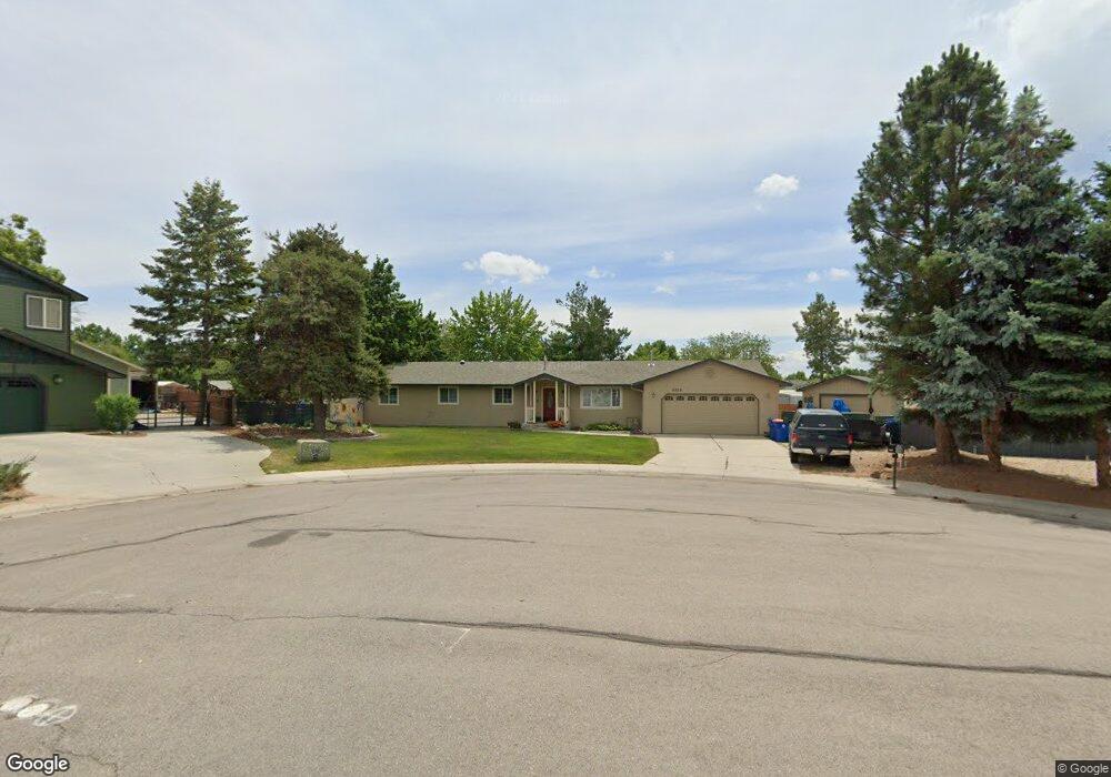
8828 Kiowa Dr Boise, ID 83709
Southwest Boise NeighborhoodEstimated Value: $475,000 - $536,000
4
Beds
2
Baths
1,878
Sq Ft
$268/Sq Ft
Est. Value
About This Home
This home is located at 8828 Kiowa Dr, Boise, ID 83709 and is currently estimated at $502,873, approximately $267 per square foot. 8828 Kiowa Dr is a home located in Ada County with nearby schools including Silver Sage Elementary School, Lake Hazel Middle School, and Mountain View High School.
Ownership History
Date
Name
Owned For
Owner Type
Purchase Details
Closed on
Sep 25, 2024
Sold by
Black Harry B and Black Mary K
Bought by
Blacksmith Trust and Black
Current Estimated Value
Purchase Details
Closed on
May 28, 2008
Sold by
Mccarty Karen S and Mcnally Karen S
Bought by
Black Mary K and Black Harry B
Home Financials for this Owner
Home Financials are based on the most recent Mortgage that was taken out on this home.
Original Mortgage
$200,000
Interest Rate
5.87%
Mortgage Type
Purchase Money Mortgage
Purchase Details
Closed on
Nov 29, 2000
Sold by
Kurtz Barry D and Kurtz Rachel V V
Bought by
Tiffany William and Jekel Barbara
Home Financials for this Owner
Home Financials are based on the most recent Mortgage that was taken out on this home.
Original Mortgage
$106,000
Interest Rate
7.86%
Mortgage Type
Purchase Money Mortgage
Create a Home Valuation Report for This Property
The Home Valuation Report is an in-depth analysis detailing your home's value as well as a comparison with similar homes in the area
Home Values in the Area
Average Home Value in this Area
Purchase History
| Date | Buyer | Sale Price | Title Company |
|---|---|---|---|
| Blacksmith Trust | -- | None Listed On Document | |
| Black Mary K | -- | Transnation Title | |
| Tiffany William | -- | Pioneer Title Company |
Source: Public Records
Mortgage History
| Date | Status | Borrower | Loan Amount |
|---|---|---|---|
| Previous Owner | Black Mary K | $200,000 | |
| Previous Owner | Tiffany William | $106,000 |
Source: Public Records
Tax History Compared to Growth
Tax History
| Year | Tax Paid | Tax Assessment Tax Assessment Total Assessment is a certain percentage of the fair market value that is determined by local assessors to be the total taxable value of land and additions on the property. | Land | Improvement |
|---|---|---|---|---|
| 2025 | $1,297 | $460,700 | -- | -- |
| 2024 | $1,198 | $449,300 | -- | -- |
| 2023 | $1,198 | $397,400 | $0 | $0 |
| 2022 | $1,601 | $494,000 | $0 | $0 |
| 2021 | $1,659 | $410,700 | $0 | $0 |
| 2020 | $1,475 | $296,000 | $0 | $0 |
| 2019 | $1,748 | $289,900 | $0 | $0 |
| 2018 | $1,405 | $244,000 | $0 | $0 |
| 2017 | $1,213 | $216,600 | $0 | $0 |
| 2016 | $1,174 | $202,200 | $0 | $0 |
| 2015 | $936 | $185,200 | $0 | $0 |
| 2012 | -- | $134,900 | $0 | $0 |
Source: Public Records
Map
Nearby Homes
- 9339 W Sageberry Dr
- 9303 W Stirrup Dr
- 9212 W Brogan Dr
- 2959 S Saturn Way
- 6022 S Snowshoe Ave
- 9173 W Brogan Dr
- 9516 W Portola Dr
- 8335 W Grubstake St
- 4735 S Rawhide Ave
- 4667 S Shawnee Way
- 7887 W Orbit Dr
- 9266 W Lillywood Dr
- 6986 S Dewberry Ave
- 7967 W Tillamook Dr
- 9538 W Silverbirch St
- 7316 W Ring Perch Dr
- 4444 S Carbine Ave
- 9529 W Mossywood Dr
- 9962 W Rustica St
- 10292 W Brownstone Dr