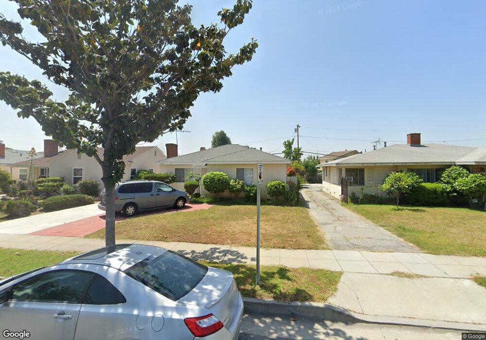
8830 Guess St Rosemead, CA 91770
Estimated Value: $923,000 - $1,001,000
4
Beds
2
Baths
1,599
Sq Ft
$592/Sq Ft
Est. Value
About This Home
This home is located at 8830 Guess St, Rosemead, CA 91770 and is currently estimated at $946,464, approximately $591 per square foot. 8830 Guess St is a home located in Los Angeles County with nearby schools including Mildred B. Janson Elementary School, Muscatel Middle School, and Rosemead High School.
Ownership History
Date
Name
Owned For
Owner Type
Purchase Details
Closed on
Jul 3, 2024
Sold by
Ngo Trinh and Ngo Jenny
Bought by
Trinh Family Trust and Trinh
Current Estimated Value
Purchase Details
Closed on
Apr 23, 1996
Sold by
Huang Yung Chu
Bought by
Trinh Eric and Trinh Jenny Ngo
Home Financials for this Owner
Home Financials are based on the most recent Mortgage that was taken out on this home.
Original Mortgage
$136,000
Interest Rate
7.96%
Create a Home Valuation Report for This Property
The Home Valuation Report is an in-depth analysis detailing your home's value as well as a comparison with similar homes in the area
Home Values in the Area
Average Home Value in this Area
Purchase History
| Date | Buyer | Sale Price | Title Company |
|---|---|---|---|
| Trinh Family Trust | -- | None Listed On Document | |
| Trinh Eric | $170,000 | First American Title Co |
Source: Public Records
Mortgage History
| Date | Status | Borrower | Loan Amount |
|---|---|---|---|
| Previous Owner | Trinh Eric | $136,000 |
Source: Public Records
Tax History Compared to Growth
Tax History
| Year | Tax Paid | Tax Assessment Tax Assessment Total Assessment is a certain percentage of the fair market value that is determined by local assessors to be the total taxable value of land and additions on the property. | Land | Improvement |
|---|---|---|---|---|
| 2025 | $3,994 | $306,270 | $165,115 | $141,155 |
| 2024 | $3,994 | $300,266 | $161,878 | $138,388 |
| 2023 | $4,006 | $294,379 | $158,704 | $135,675 |
| 2022 | $3,871 | $288,608 | $155,593 | $133,015 |
| 2021 | $3,821 | $282,950 | $152,543 | $130,407 |
| 2019 | $3,757 | $274,559 | $148,019 | $126,540 |
| 2018 | $3,557 | $269,176 | $145,117 | $124,059 |
| 2016 | $3,375 | $258,726 | $139,483 | $119,243 |
| 2015 | $3,377 | $254,840 | $137,388 | $117,452 |
| 2014 | $3,307 | $249,849 | $134,697 | $115,152 |
Source: Public Records
Map
Nearby Homes
- 0 Muscatel Ave
- 8739 Ralph St
- 9043 Steele St
- 4124 Ivar Ave
- 4302 Ivar Ave
- 8555 Marshall St
- 4110 Loma Ave
- 3632 Rockhold Ave
- 4167 Walnut Grove Ave Unit 9
- 4219 Walnut Grove Ave Unit A
- 9336 Ralph St
- 4285 Walnut Grove Ave
- 3638 Earle Ave
- 8633 Mission Villa Dr
- 3565 Lashbrook Ave
- 8629 Mission Villa Dr
- 1803 S Charlotte Ave
- 1438 S Charlotte Ave
- 9109 Lower Azusa Rd
- Plan 2 at Cassia