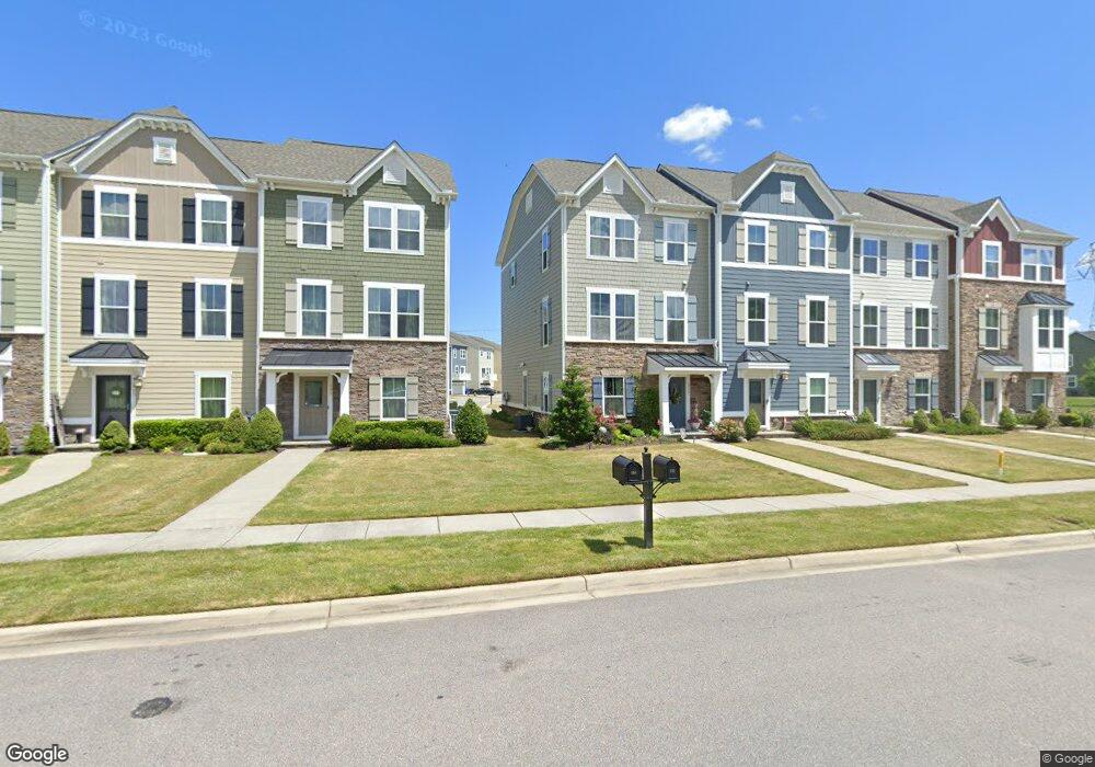
884 Olmstead St Chesapeake, VA 23323
Deep Creek NeighborhoodEstimated Value: $403,618 - $504,000
3
Beds
4
Baths
2,034
Sq Ft
$216/Sq Ft
Est. Value
About This Home
This home is located at 884 Olmstead St, Chesapeake, VA 23323 and is currently estimated at $440,155, approximately $216 per square foot. 884 Olmstead St is a home located in Chesapeake City with nearby schools including Deep Creek Central Elementary School, Deep Creek Middle School, and Deep Creek High.
Ownership History
Date
Name
Owned For
Owner Type
Purchase Details
Closed on
Aug 11, 2016
Sold by
Nvr Inc A Virginia Corporation
Bought by
Albertson Parker Christel and Albertson Teresa
Current Estimated Value
Home Financials for this Owner
Home Financials are based on the most recent Mortgage that was taken out on this home.
Original Mortgage
$215,257
Outstanding Balance
$171,361
Interest Rate
3.41%
Mortgage Type
VA
Estimated Equity
$268,794
Purchase Details
Closed on
Apr 19, 2016
Sold by
Culpepper Landing Lc A Virginia Limited
Bought by
Nvr Inc A Virginia Corporation
Create a Home Valuation Report for This Property
The Home Valuation Report is an in-depth analysis detailing your home's value as well as a comparison with similar homes in the area
Home Values in the Area
Average Home Value in this Area
Purchase History
| Date | Buyer | Sale Price | Title Company |
|---|---|---|---|
| Albertson Parker Christel | $302,600 | Nvr Settlement Services Inc | |
| Nvr Inc A Virginia Corporation | $286,900 | Nvr Settlement Services Inc |
Source: Public Records
Mortgage History
| Date | Status | Borrower | Loan Amount |
|---|---|---|---|
| Open | Albertson Parker Christel | $215,257 |
Source: Public Records
Tax History Compared to Growth
Tax History
| Year | Tax Paid | Tax Assessment Tax Assessment Total Assessment is a certain percentage of the fair market value that is determined by local assessors to be the total taxable value of land and additions on the property. | Land | Improvement |
|---|---|---|---|---|
| 2025 | $4,047 | $400,300 | $130,000 | $270,300 |
| 2024 | $4,047 | $400,700 | $110,000 | $290,700 |
| 2023 | $3,638 | $382,000 | $100,000 | $282,000 |
| 2022 | $3,689 | $365,200 | $90,000 | $275,200 |
| 2021 | $3,317 | $315,900 | $85,000 | $230,900 |
| 2020 | $3,215 | $306,200 | $80,000 | $226,200 |
| 2019 | $3,149 | $299,900 | $80,000 | $219,900 |
| 2018 | $3,083 | $293,600 | $80,000 | $213,600 |
| 2017 | $2,826 | $269,100 | $65,000 | $204,100 |
| 2016 | $683 | $65,000 | $65,000 | $0 |
| 2015 | $683 | $65,000 | $65,000 | $0 |
Source: Public Records
Map
Nearby Homes
- 3122 Old Rock St
- 709 Phalarope St
- 3108 Old Rock St
- 627 Mill Creek Pkwy
- 743 Arbuckle St
- 704 Log Fern Ln
- 3009 Patrick Henry Dr
- 548 Willow Bend Dr
- 3307 Firebird Ct
- 212 Andiron Arch
- 316 Big Pond Ln
- 400 Willow Bend Dr
- 449 Sawyers Mill Crossing
- 185 George Washington Hwy S
- 2717 Derry Dr
- 510 Creekwood Dr
- 629 Creekwood Dr
- 2130 Chesterfield Loop
- 2761 Cedar Rd
- 122 Westonia Rd
- 882 Olmstead St
- 886 Olmstead St
- 880 Olmstead St
- 888 Olmstead St
- 878 Olmstead St
- 890 Olmsted St
- 890 Olmstead St
- 109 Olmstead St
- 629 Evick Way
- 675 Mill Creek Pkwy
- 675 Mile Creek Ln
- 673 Mill Creek Pkwy
- 673 Mile Creek Ln
- 510 Arbuckle St
- 700 Arbuckle St
- 625 Evick Way
- 671 Mill Creek Pkwy
- 671 Mile Creek Ln
- 669 Mill Creek Pkwy
- 669 Mile Creek Ln