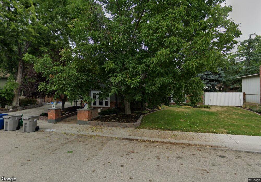
8846 W Westbrook Dr Boise, ID 83704
West Boise NeighborhoodEstimated Value: $517,000 - $541,000
4
Beds
2
Baths
2,756
Sq Ft
$191/Sq Ft
Est. Value
About This Home
This home is located at 8846 W Westbrook Dr, Boise, ID 83704 and is currently estimated at $526,151, approximately $190 per square foot. 8846 W Westbrook Dr is a home located in Ada County with nearby schools including Summerwind STEM Academy, Lowell Scott Middle School, and Centennial High School.
Ownership History
Date
Name
Owned For
Owner Type
Purchase Details
Closed on
Jul 27, 2011
Sold by
Schooley Paul and Schooley Mary A
Bought by
Schooley Paul and Schooley Mary A
Current Estimated Value
Home Financials for this Owner
Home Financials are based on the most recent Mortgage that was taken out on this home.
Original Mortgage
$173,919
Outstanding Balance
$13,552
Interest Rate
3.63%
Mortgage Type
New Conventional
Estimated Equity
$512,599
Purchase Details
Closed on
Feb 22, 1999
Sold by
Richard Rowley J and Richard Reah S
Bought by
Schooley Paul and Schooley Mary
Home Financials for this Owner
Home Financials are based on the most recent Mortgage that was taken out on this home.
Original Mortgage
$127,700
Interest Rate
6.78%
Mortgage Type
Purchase Money Mortgage
Create a Home Valuation Report for This Property
The Home Valuation Report is an in-depth analysis detailing your home's value as well as a comparison with similar homes in the area
Home Values in the Area
Average Home Value in this Area
Purchase History
| Date | Buyer | Sale Price | Title Company |
|---|---|---|---|
| Schooley Paul | -- | Alliance Title Production Ce | |
| Schooley Paul | -- | First American Heritage Titl |
Source: Public Records
Mortgage History
| Date | Status | Borrower | Loan Amount |
|---|---|---|---|
| Open | Schooley Paul | $173,919 | |
| Closed | Schooley Paul | $127,700 |
Source: Public Records
Tax History Compared to Growth
Tax History
| Year | Tax Paid | Tax Assessment Tax Assessment Total Assessment is a certain percentage of the fair market value that is determined by local assessors to be the total taxable value of land and additions on the property. | Land | Improvement |
|---|---|---|---|---|
| 2025 | $1,971 | $443,400 | -- | -- |
| 2024 | $1,966 | $423,000 | -- | -- |
| 2023 | $1,966 | $407,500 | $0 | $0 |
| 2022 | $2,509 | $496,600 | $0 | $0 |
| 2021 | $2,309 | $388,300 | $0 | $0 |
| 2020 | $2,282 | $328,900 | $0 | $0 |
| 2019 | $2,623 | $304,800 | $0 | $0 |
| 2018 | $2,287 | $261,000 | $0 | $0 |
| 2017 | $2,015 | $233,400 | $0 | $0 |
| 2016 | $1,789 | $210,400 | $0 | $0 |
| 2015 | $1,479 | $188,500 | $0 | $0 |
| 2012 | -- | $136,100 | $0 | $0 |
Source: Public Records
Map
Nearby Homes
- 8707 W Stynbrook Dr
- 9034 W Oakmont Ct
- 8995 W Pembrook Dr
- 3889 N Maple Grove Rd
- 3823 N Jackie Ln
- 3821 N Jackie Ln
- 3819 N Jackie Ln
- 3760 N Jackie Ln
- 3708 N Jackie Ln
- 8425 W Wyndham Ln
- 3841 N Sheringham Dr
- 4701 N Sorrento Dr
- 4216 N Vera St
- 4355 N Christine St
- 9300 W Albany Ave
- 2952 N Milwaukee
- 8466 W Westchester Ave
- 4062 & 4064 N Marcia Place
- 4062 N Marcia Place Unit 4062 & 4064
- 3731 N Buckingham Dr
- 8830 W Westbrook Dr
- 8856 W Westbrook Dr
- 8837 W Stynbrook Dr
- 8825 W Stynbrook Dr
- 8849 W Stynbrook Dr
- 8853 W Westbrook Dr
- 8810 W Westbrook Dr
- 4190 N Kilarney Dr
- 8917 W Westbrook Dr
- 4204 N Kilarney Dr
- 8857 W Stynbrook Dr
- 8826 W Stynbrook Dr
- 8790 W Stynbrook Dr
- 8745 W Stynbrook Dr
- 8794 W Westbrook Dr
- 8817 W Westbrook Dr
- 4060 N Kilarney Dr
- 8844 W Stynbrook Dr
- 4220 N Kilarney Dr
- 8805 W Westbrook Dr