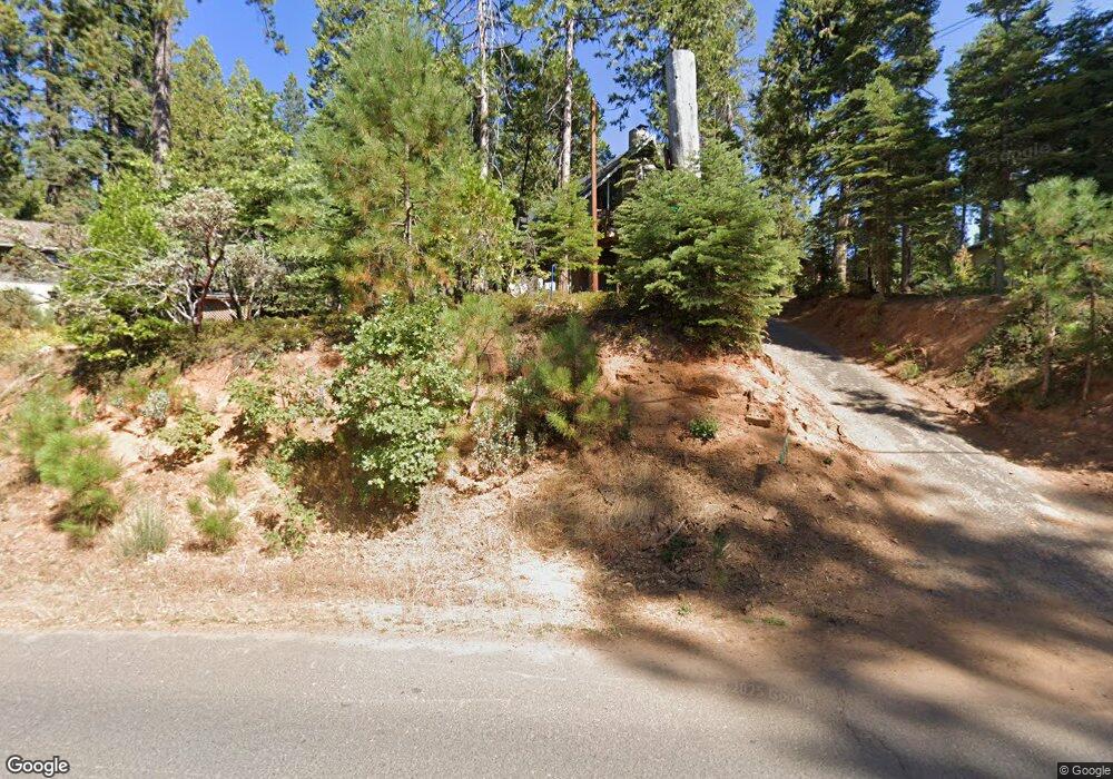
885 Cypress Point Dr Arnold, CA 95223
Estimated Value: $240,000 - $361,384
3
Beds
2
Baths
1,452
Sq Ft
$192/Sq Ft
Est. Value
About This Home
This home is located at 885 Cypress Point Dr, Arnold, CA 95223 and is currently estimated at $278,096, approximately $191 per square foot. 885 Cypress Point Dr is a home with nearby schools including Bret Harte Union High School.
Ownership History
Date
Name
Owned For
Owner Type
Purchase Details
Closed on
Oct 1, 2025
Sold by
Billiet Living Trust and Julia P Ericson Trust
Bought by
S And K Essoyan Revocable Family Trust and Essoyan
Current Estimated Value
Purchase Details
Closed on
Jun 7, 2019
Sold by
Essoyan Kathy E
Bought by
Essoyan Kathy E and Essoyan S
Purchase Details
Closed on
Nov 29, 2011
Sold by
Ericson Julia P and The Kurt R & Julia P Ericson T
Bought by
Ericson Julia P and The Julia P Ericson Trust
Purchase Details
Closed on
Jul 17, 2003
Sold by
Ericson Julia P
Bought by
Ericson Kurt R and Ericson Julia B
Purchase Details
Closed on
Jan 25, 2001
Sold by
Billiet Duane L and Billiet Patricia L
Bought by
Billiet Phillip L and Ericson Julia P
Create a Home Valuation Report for This Property
The Home Valuation Report is an in-depth analysis detailing your home's value as well as a comparison with similar homes in the area
Home Values in the Area
Average Home Value in this Area
Purchase History
| Date | Buyer | Sale Price | Title Company |
|---|---|---|---|
| S And K Essoyan Revocable Family Trust | $247,500 | None Listed On Document | |
| S And K Essoyan Revcable Family Trust | -- | None Listed On Document | |
| Essoyan Kathy E | -- | None Available | |
| Ericson Julia P | -- | None Available | |
| Ericson Kurt R | -- | -- | |
| Billiet Phillip L | -- | -- |
Source: Public Records
Tax History
| Year | Tax Paid | Tax Assessment Tax Assessment Total Assessment is a certain percentage of the fair market value that is determined by local assessors to be the total taxable value of land and additions on the property. | Land | Improvement |
|---|---|---|---|---|
| 2025 | $1,640 | $99,441 | $24,993 | $74,448 |
| 2023 | $1,606 | $95,581 | $24,023 | $71,558 |
| 2022 | $1,452 | $93,707 | $23,552 | $70,155 |
| 2021 | $1,442 | $91,871 | $23,091 | $68,780 |
| 2020 | $1,424 | $90,930 | $22,855 | $68,075 |
| 2019 | $1,407 | $89,148 | $22,407 | $66,741 |
| 2018 | $1,247 | $87,401 | $21,968 | $65,433 |
| 2017 | $1,220 | $85,688 | $21,538 | $64,150 |
| 2016 | $1,217 | $84,009 | $21,116 | $62,893 |
| 2015 | -- | $82,748 | $20,799 | $61,949 |
| 2014 | -- | $81,128 | $20,392 | $60,736 |
Source: Public Records
Map
Nearby Homes
- 485 Moran Rd
- 588 Blue Lake Springs Dr
- 1376 Meadow Dr
- 1206 Greensboro Way
- 459 Dean Way
- 1051 Greensboro Way
- 729 Dawyn Dr
- 1262 Pebble Beach Way
- 167 Linda Dr
- 210 David Lee Rd
- 1996 Seminole Way
- 1955 Seminole Way
- 1539 Pebble Beach Way
- 2245 Castlewood Ln
- 2041 Baywood View
- 1224 Shannon Way
- 2119 Silverado Way
- 923 Bear Run Way
- 845 Honey Ct
- 1800 Medina Dr
- 792 Saint Andrews Dr
- 905 Cypress Point Dr
- 788 Saint Andrews Ct
- 789 Saint Andrews Dr
- 906 Meadow Dr
- 776 Saint Andrews Dr
- 884 Meadow Dr
- 930 Meadow Dr
- 783 Saint Andrews Dr
- 942 Meadow Dr
- 869 Meadow Dr
- 771 Saint Andrews Dr
- 760 Saint Andrews Dr
- 962 Meadow Dr
- 755 Saint Andrews Dr
- 921 Cypress Point #1 Dr
- 972 Meadow Dr
- 921 Cypress Point #2 Dr
- 921 Cypress Point Dr
- 921 Cypress Point #2 Dr Unit 2
Your Personal Tour Guide
Ask me questions while you tour the home.