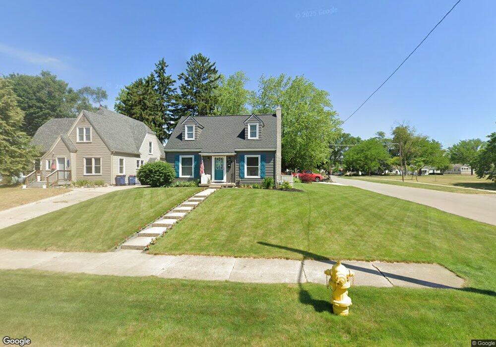
885 Dorroll St NE Grand Rapids, MI 49505
Creston NeighborhoodEstimated Value: $283,667 - $310,000
--
Bed
1
Bath
1,260
Sq Ft
$237/Sq Ft
Est. Value
About This Home
This home is located at 885 Dorroll St NE, Grand Rapids, MI 49505 and is currently estimated at $299,167, approximately $237 per square foot. 885 Dorroll St NE is a home located in Kent County with nearby schools including Riverside Middle School, Union High School, and All Saints Academy - Lower Campus.
Ownership History
Date
Name
Owned For
Owner Type
Purchase Details
Closed on
Jul 23, 2025
Sold by
Wilson Michael A and Wilson Theressa L
Bought by
Wilson Michael A and Wilson Theressa L
Current Estimated Value
Purchase Details
Closed on
Jul 9, 2011
Sold by
Wilson Theresa L and Lucas Theresa L
Bought by
Wilson Michael A and Wilson Theresa L
Purchase Details
Closed on
Jun 4, 1999
Sold by
Hayes Hayes D D and Hayes Lucas T
Bought by
Wilson Lucas T and Wilson Theressa L Michael A
Purchase Details
Closed on
Jul 29, 1994
Sold by
Ek Ek R R and Ek Hayes D
Bought by
Wilson Theressa L Michael A
Create a Home Valuation Report for This Property
The Home Valuation Report is an in-depth analysis detailing your home's value as well as a comparison with similar homes in the area
Home Values in the Area
Average Home Value in this Area
Purchase History
| Date | Buyer | Sale Price | Title Company |
|---|---|---|---|
| Wilson Michael A | -- | None Listed On Document | |
| Wilson Michael A | -- | None Available | |
| Wilson Lucas T | $99,000 | -- | |
| Wilson Theressa L Michael A | $70,000 | -- |
Source: Public Records
Tax History Compared to Growth
Tax History
| Year | Tax Paid | Tax Assessment Tax Assessment Total Assessment is a certain percentage of the fair market value that is determined by local assessors to be the total taxable value of land and additions on the property. | Land | Improvement |
|---|---|---|---|---|
| 2025 | $2,088 | $138,100 | $0 | $0 |
| 2024 | $2,088 | $128,300 | $0 | $0 |
| 2023 | $2,118 | $112,400 | $0 | $0 |
| 2022 | $2,011 | $97,100 | $0 | $0 |
| 2021 | $1,904 | $85,500 | $0 | $0 |
| 2020 | $1,820 | $79,000 | $0 | $0 |
| 2019 | $1,906 | $70,900 | $0 | $0 |
| 2018 | $1,841 | $66,400 | $0 | $0 |
| 2017 | $1,792 | $59,000 | $0 | $0 |
| 2016 | $1,813 | $54,300 | $0 | $0 |
| 2015 | $1,687 | $54,300 | $0 | $0 |
| 2013 | -- | $49,600 | $0 | $0 |
Source: Public Records
Map
Nearby Homes
- 861 Aberdeen St NE
- 778 Eleanor St NE
- 2471 Union Ave NE
- 2700 Plainfield Ave NE
- 2038 Melita Ave NE
- 1050 3 Mile Rd NE
- 465 Kenwood St NE
- 612 Woodridge St NE
- 2856 Cheney Ave NE
- 1245 Kelsey St NE
- 2818 Edgewood Ave NE
- 2019 Plainfield Ave NE
- 2100 Dawson Ave NE
- 2630 Oakwood Ave NE
- 2030 Sinclair Ave NE
- 1848 Emerald Ave NE
- 308 Sligh Blvd NE
- 2723 Oakwood Ave NE
- 1825 Meadowfield Dr NE
- 1335 Knapp St NE
- 881 Dorroll St NE
- 875 Dorroll St NE
- 884 Aberdeen St NE
- 878 Aberdeen St NE
- 869 Dorroll St NE
- 874 Aberdeen St NE
- 884 Dorroll St NE
- 880 Dorroll St NE
- 868 Aberdeen St NE
- 865 Dorroll St NE
- 872 Dorroll St NE
- 862 Aberdeen St NE
- 859 Dorroll St NE
- 866 Dorroll St NE
- 858 Aberdeen St NE
- 855 Dorroll St NE
- 860 Dorroll St NE
- 885 Aberdeen St NE
- 879 Aberdeen St NE
- 889 Aberdeen St NE