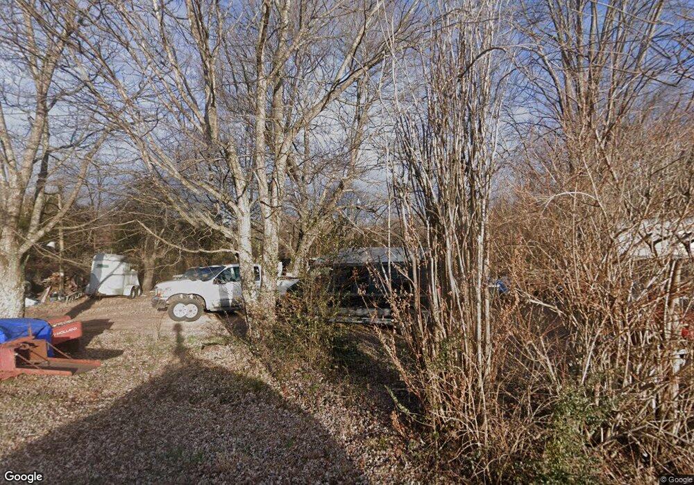
885 Dry Rock Rd Westmoreland, TN 37186
Estimated Value: $216,658 - $323,000
--
Bed
1
Bath
1,176
Sq Ft
$217/Sq Ft
Est. Value
About This Home
This home is located at 885 Dry Rock Rd, Westmoreland, TN 37186 and is currently estimated at $255,165, approximately $216 per square foot. 885 Dry Rock Rd is a home located in Macon County.
Ownership History
Date
Name
Owned For
Owner Type
Purchase Details
Closed on
May 5, 2006
Sold by
Van Baggett
Bought by
Dale Cansler Stephen
Current Estimated Value
Home Financials for this Owner
Home Financials are based on the most recent Mortgage that was taken out on this home.
Original Mortgage
$149,052
Outstanding Balance
$85,979
Interest Rate
6.33%
Mortgage Type
Cash
Estimated Equity
$169,186
Purchase Details
Closed on
Apr 25, 2006
Bought by
Cansler Stephen Debra
Home Financials for this Owner
Home Financials are based on the most recent Mortgage that was taken out on this home.
Original Mortgage
$149,052
Outstanding Balance
$85,979
Interest Rate
6.33%
Mortgage Type
Cash
Estimated Equity
$169,186
Purchase Details
Closed on
Jan 30, 2004
Bought by
Baggett Van
Purchase Details
Closed on
Jul 10, 1993
Bought by
Williams James A and Williams Geneva
Purchase Details
Closed on
Mar 3, 1987
Bought by
Alice Cook I and Alice Frances
Create a Home Valuation Report for This Property
The Home Valuation Report is an in-depth analysis detailing your home's value as well as a comparison with similar homes in the area
Home Values in the Area
Average Home Value in this Area
Purchase History
| Date | Buyer | Sale Price | Title Company |
|---|---|---|---|
| Dale Cansler Stephen | $102,229 | -- | |
| Dale Cansler Stephen | -- | -- | |
| Cansler Stephen Debra | $102,200 | -- | |
| Baggett Van | $105,500 | -- | |
| Williams James A | $65,000 | -- | |
| Alice Cook I | -- | -- |
Source: Public Records
Mortgage History
| Date | Status | Borrower | Loan Amount |
|---|---|---|---|
| Closed | Alice Cook I | $0 | |
| Open | Alice Cook I | $149,052 | |
| Closed | Alice Cook I | $149,052 |
Source: Public Records
Tax History Compared to Growth
Tax History
| Year | Tax Paid | Tax Assessment Tax Assessment Total Assessment is a certain percentage of the fair market value that is determined by local assessors to be the total taxable value of land and additions on the property. | Land | Improvement |
|---|---|---|---|---|
| 2024 | $592 | $41,875 | $8,925 | $32,950 |
| 2023 | $592 | $41,875 | $0 | $0 |
| 2022 | $411 | $17,125 | $6,275 | $10,850 |
| 2021 | $411 | $17,125 | $6,275 | $10,850 |
| 2020 | $411 | $17,125 | $6,275 | $10,850 |
| 2019 | $411 | $17,125 | $6,275 | $10,850 |
| 2018 | $379 | $17,125 | $6,275 | $10,850 |
| 2017 | $418 | $16,600 | $5,950 | $10,650 |
| 2016 | $398 | $16,600 | $5,950 | $10,650 |
| 2015 | $398 | $16,600 | $5,950 | $10,650 |
| 2014 | $398 | $16,599 | $0 | $0 |
Source: Public Records
Map
Nearby Homes
- 1137 Poplar Grove Rd
- 100 Poplar Grove Rd
- 6358 Rocky Mound Rd
- 5879 Mount Union Rd
- 5837 Rocky Mound Rd
- 2060 Maple Grove Church Rd
- 0 Hawkins Rd
- 6184 Rocky Mound Rd
- 6170 Rocky Mound Rd
- 412 Hawkins Rd
- 137 Hawkins Rd
- 151 Hawkins Rd
- 8205 Hoskins Hollow Rd
- 429 Marlin Ln
- 2533 Hanestown Rd
- 8124 Hoskins Hollow Rd
- 3910 Union Chapel Rd
- 0 Hanestown Rd
- 10 Hanestown Rd
- 3902 Union Chapel Rd
- 833 Dry Rock Rd
- 725 Dry Rock Rd
- 9217 Keen Rd
- 559 Dry Rock Rd
- 0 Dry Rock Rd
- 9153 Keen Rd
- 1210 Clure Brown Rd
- 9125 Keen Rd
- 493 Dry Rock Rd
- 1490 Clure Brown Rd
- 1100 Clure Brown Rd
- 1429 Clure Brown Rd
- 1449 Clure Brown Rd
- 7999 Rocky Mound Rd
- 1450 Clure Brown Rd
- 7837 Rocky Mound Rd
- 1428 Clure Brown Rd
- 1031 Clure Brown Rd
- 8117 Rocky Mound Rd
- 1692 Clure Brown Rd
