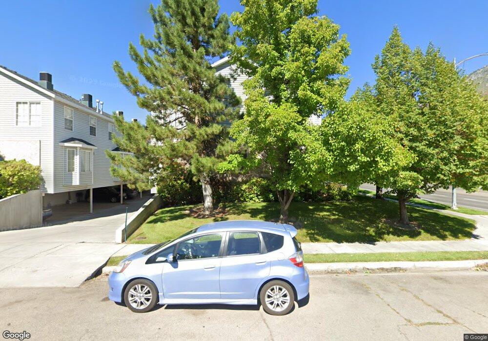
885 E 350 N Provo, UT 84606
Joaquin NeighborhoodEstimated Value: $450,000 - $462,620
4
Beds
2
Baths
1,220
Sq Ft
$373/Sq Ft
Est. Value
About This Home
This home is located at 885 E 350 N, Provo, UT 84606 and is currently estimated at $455,540, approximately $373 per square foot. 885 E 350 N is a home located in Utah County with nearby schools including Provo Peaks School, Centennial Middle School, and Timpview High School.
Ownership History
Date
Name
Owned For
Owner Type
Purchase Details
Closed on
Feb 11, 2011
Sold by
Grindstone
Bought by
Stone Robert Scott and Stone Melinda C
Current Estimated Value
Home Financials for this Owner
Home Financials are based on the most recent Mortgage that was taken out on this home.
Original Mortgage
$125,250
Outstanding Balance
$85,949
Interest Rate
4.84%
Mortgage Type
New Conventional
Estimated Equity
$369,591
Purchase Details
Closed on
Feb 1, 2011
Sold by
Stone Robert Scott and Stone Melinda C
Bought by
Grindstone
Home Financials for this Owner
Home Financials are based on the most recent Mortgage that was taken out on this home.
Original Mortgage
$125,250
Outstanding Balance
$85,949
Interest Rate
4.84%
Mortgage Type
New Conventional
Estimated Equity
$369,591
Purchase Details
Closed on
Mar 30, 2010
Sold by
Stone R Scott and Stone Melinda C
Bought by
Grindstone
Purchase Details
Closed on
Aug 21, 2000
Sold by
Fitch Development Lc
Bought by
Stone R Scott and Stone Melinda C
Home Financials for this Owner
Home Financials are based on the most recent Mortgage that was taken out on this home.
Original Mortgage
$138,300
Interest Rate
8.15%
Create a Home Valuation Report for This Property
The Home Valuation Report is an in-depth analysis detailing your home's value as well as a comparison with similar homes in the area
Home Values in the Area
Average Home Value in this Area
Purchase History
| Date | Buyer | Sale Price | Title Company |
|---|---|---|---|
| Stone Robert Scott | -- | Cornerstone Title Insurance | |
| Grindstone | -- | Cornerstone Title Insurance | |
| Grindstone | -- | Cornerstone Title | |
| Stone R Scott | -- | Old Republic Title Company |
Source: Public Records
Mortgage History
| Date | Status | Borrower | Loan Amount |
|---|---|---|---|
| Open | Stone Robert Scott | $125,250 | |
| Previous Owner | Stone R Scott | $138,300 |
Source: Public Records
Tax History
| Year | Tax Paid | Tax Assessment Tax Assessment Total Assessment is a certain percentage of the fair market value that is determined by local assessors to be the total taxable value of land and additions on the property. | Land | Improvement |
|---|---|---|---|---|
| 2025 | $2,144 | $229,955 | -- | -- |
| 2024 | $2,144 | $211,090 | $0 | $0 |
| 2023 | $2,106 | $204,325 | $0 | $0 |
| 2022 | $2,159 | $211,255 | $0 | $0 |
| 2021 | $1,815 | $309,800 | $37,200 | $272,600 |
| 2020 | $1,790 | $286,400 | $34,400 | $252,000 |
| 2019 | $1,558 | $259,200 | $29,000 | $230,200 |
| 2018 | $1,422 | $240,000 | $29,000 | $211,000 |
| 2017 | $1,211 | $112,310 | $0 | $0 |
| 2016 | $1,203 | $104,005 | $0 | $0 |
| 2015 | $1,145 | $99,990 | $0 | $0 |
| 2014 | $1,098 | $99,990 | $0 | $0 |
Source: Public Records
Map
Nearby Homes
- 362 N 800 E
- 1051 E 300 N
- 864 E 200 N
- 785 E 560 N Unit 405
- 364 N 500 E
- 386 N 500 E
- 541 E 500 N Unit 12
- 240 N 500 East St
- 532 N Seven Peaks Blvd Unit 302
- 737 E 750 N Unit 1
- 907 E 820 N Unit 11
- 394 N 300 E
- 150 S 700 E
- 433 N 300 E
- 232 E 400 N
- 232 E 300 N
- 380 N 200 E
- 635 N Ridge Dr Unit 25
- 466 N 200 E
- 1005 E 300 S
- 885 E 350 N
- 885 E 350 N
- 885 E 350 N
- 885 E 350 N
- 885 E 350 N
- 885 E 350 N Unit 3
- 885 E 350 N Unit 2
- 885 E 350 N Unit 4
- 885 E 350 N Unit 5
- 885 E 350 N Unit 1
- 879 E 350 N
- 879 E 350 N
- 879 E 350 N
- 879 E 350 N
- 879 E 350 N Unit 9
- 879 E 350 N Unit 8
- 879 E 350 N Unit 7
- 879 E 350 N Unit 6
- 851 E 350 N
- 839 E 350 N
Your Personal Tour Guide
Ask me questions while you tour the home.