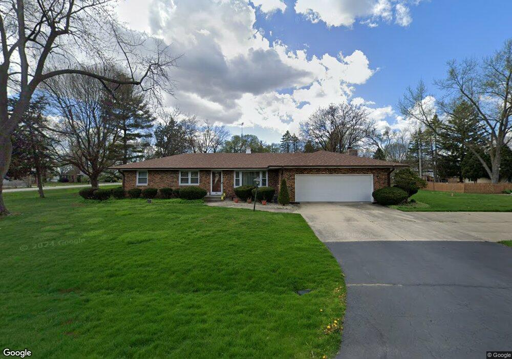
885 Lindenwood Dr Unit 4 Aurora, IL 60506
Pine Knoll NeighborhoodEstimated Value: $337,000 - $367,581
3
Beds
2
Baths
1,596
Sq Ft
$220/Sq Ft
Est. Value
About This Home
This home is located at 885 Lindenwood Dr Unit 4, Aurora, IL 60506 and is currently estimated at $350,645, approximately $219 per square foot. 885 Lindenwood Dr Unit 4 is a home located in Kane County with nearby schools including Freeman Elementary School, Washington Middle School, and West Aurora High School.
Ownership History
Date
Name
Owned For
Owner Type
Purchase Details
Closed on
Dec 27, 1994
Sold by
Pozzi Shirley Irene
Bought by
Velazquez Jose G and Velazquez Guadalupe A
Current Estimated Value
Home Financials for this Owner
Home Financials are based on the most recent Mortgage that was taken out on this home.
Original Mortgage
$90,000
Interest Rate
9.24%
Create a Home Valuation Report for This Property
The Home Valuation Report is an in-depth analysis detailing your home's value as well as a comparison with similar homes in the area
Home Values in the Area
Average Home Value in this Area
Purchase History
| Date | Buyer | Sale Price | Title Company |
|---|---|---|---|
| Velazquez Jose G | $135,000 | Law Title Ins Co Inc |
Source: Public Records
Mortgage History
| Date | Status | Borrower | Loan Amount |
|---|---|---|---|
| Closed | Velazquez Jose G | $90,000 |
Source: Public Records
Tax History Compared to Growth
Tax History
| Year | Tax Paid | Tax Assessment Tax Assessment Total Assessment is a certain percentage of the fair market value that is determined by local assessors to be the total taxable value of land and additions on the property. | Land | Improvement |
|---|---|---|---|---|
| 2024 | $2,604 | $111,124 | $17,482 | $93,642 |
| 2023 | $2,817 | $99,289 | $15,620 | $83,669 |
| 2022 | $3,276 | $96,909 | $14,252 | $82,657 |
| 2021 | $3,376 | $90,224 | $13,269 | $76,955 |
| 2020 | $3,463 | $83,805 | $12,325 | $71,480 |
| 2019 | $3,637 | $77,647 | $11,419 | $66,228 |
| 2018 | $3,745 | $78,559 | $10,562 | $67,997 |
| 2017 | $3,864 | $75,017 | $9,732 | $65,285 |
| 2016 | $4,006 | $67,838 | $9,269 | $58,569 |
| 2015 | -- | $59,729 | $7,971 | $51,758 |
| 2014 | -- | $55,407 | $7,326 | $48,081 |
| 2013 | -- | $56,717 | $7,221 | $49,496 |
Source: Public Records
Map
Nearby Homes
- 977 Lindenwood Dr
- 2021 Radcliffe Dr
- 430 Cottrell Ln
- 422 Cottrell Ln
- 408 Cottrell Ln
- 399 S Constitution Dr
- 425 Cottrell Ln
- Rutherford Plan at Prairie Meadows
- Napa Plan at Prairie Meadows
- Sonoma Plan at Prairie Meadows
- Siena Plan at Prairie Meadows
- 892 Audubon Ln Unit 1
- 405 S Constitution Dr
- 381 S Constitution Dr
- 369 S Constitution Dr
- 2451 Roseglen Way
- 375 S Constitution Dr
- 336 S Constitution Dr
- 342 S Constitution Dr
- 888 Summerhill Dr Unit 2
- 2021 Jericho Rd
- 875 Lindenwood Dr
- 890 Lindenwood Dr
- 2020 Middlefield Ave
- 903 Lindenwood Dr
- 880 Lindenwood Dr
- 2030 Middlefield Ave
- 870 Lindenwood Dr
- 911 Lindenwood Dr
- 906 Lindenwood Dr
- 2022 Jericho Rd
- 860 Lindenwood Dr
- 2040 Jericho Rd
- 2015 Middlefield Ave
- 919 Lindenwood Dr Unit 1
- 2071 Jericho Rd
- 2071 Jericho Rd
- 914 Lindenwood Dr
- 2050 Middlefield Ave Unit 2
- 1960 Jericho Rd