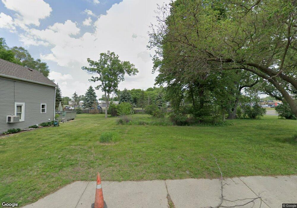
8855 Upper 209th St W Lakeville, MN 55044
Estimated Value: $247,594 - $311,000
2
Beds
1
Bath
840
Sq Ft
$322/Sq Ft
Est. Value
About This Home
This home is located at 8855 Upper 209th St W, Lakeville, MN 55044 and is currently estimated at $270,399, approximately $321 per square foot. 8855 Upper 209th St W is a home located in Dakota County with nearby schools including John F. Kennedy Elementary School, Mcguire Middle School, and Lakeville South High School.
Ownership History
Date
Name
Owned For
Owner Type
Purchase Details
Closed on
Aug 1, 2017
Sold by
Fannie Mae
Bought by
White Michael J
Current Estimated Value
Purchase Details
Closed on
Jul 13, 2016
Sold by
Bank Of America N A
Bought by
Federal National Mortgage Association
Purchase Details
Closed on
Jun 17, 2016
Sold by
Biron Angela R
Bought by
Bank Of America Na
Purchase Details
Closed on
May 22, 2003
Sold by
Hopp Jason D and Hopp Jennifer L
Bought by
Biron Angela R
Create a Home Valuation Report for This Property
The Home Valuation Report is an in-depth analysis detailing your home's value as well as a comparison with similar homes in the area
Home Values in the Area
Average Home Value in this Area
Purchase History
| Date | Buyer | Sale Price | Title Company |
|---|---|---|---|
| White Michael J | $87,036 | Lawyers Title Company | |
| Federal National Mortgage Association | -- | None Available | |
| Bank Of America Na | $124,900 | Attorney | |
| Biron Angela R | $149,900 | -- |
Source: Public Records
Tax History Compared to Growth
Tax History
| Year | Tax Paid | Tax Assessment Tax Assessment Total Assessment is a certain percentage of the fair market value that is determined by local assessors to be the total taxable value of land and additions on the property. | Land | Improvement |
|---|---|---|---|---|
| 2024 | $2,528 | $214,500 | $64,700 | $149,800 |
| 2023 | $2,314 | $231,600 | $64,600 | $167,000 |
| 2022 | $2,118 | $214,700 | $64,300 | $150,400 |
| 2021 | $1,962 | $179,800 | $56,000 | $123,800 |
| 2020 | $2,082 | $160,800 | $53,300 | $107,500 |
| 2019 | $1,870 | $161,500 | $50,700 | $110,800 |
| 2018 | $1,821 | $149,900 | $48,300 | $101,600 |
| 2017 | $1,813 | $143,200 | $46,000 | $97,200 |
| 2016 | $1,547 | $130,800 | $43,800 | $87,000 |
| 2015 | $1,299 | $96,830 | $33,458 | $63,372 |
| 2014 | -- | $94,868 | $32,405 | $62,463 |
| 2013 | -- | $96,394 | $29,799 | $66,595 |
Source: Public Records
Map
Nearby Homes
- 19820 Henning Ave
- 20685 Howland Ave W
- 21221 Hummingbird Ln
- 20724 Hurley Ave
- 20420 Hughes Ave W
- 21305 Hytrail Cir
- 21220 Ilavista Way
- 21316 Idaho Ave
- 20450 Dodd Blvd
- 20771 Independence Ave
- 20304 Hunter Ct
- 8210 208th St W
- 9508 211th St W
- 9681 208th St W
- 9485 204th St W
- 20055 Heritage Dr
- 20144 Holister Ln
- 20060 Heritage Dr
- 20041 Heritage Dr
- 21258 Inspiration Path
- 8865 Upper 209th St W
- 8819 Upper 209th St W
- 8850 Upper 209th St W
- 20955 Howland Ave W
- 20971 Howland Ave W
- 20975 Howland Ave W
- 20979 Howland Ave W
- 8815 209th St W
- 8805 209th St W
- 8895 210th St W
- 20885 Howland Ave W
- 20985 Howland Ave W
- 20855 Howland Ave W
- 8989 210th St W
- 20978 Huntsville Trail
- 20982 Huntsville Trail
- 20974 Huntsville Trail
- 9011 210th St W
- 20986 Huntsville Trail
- 20970 Huntsville Trail
