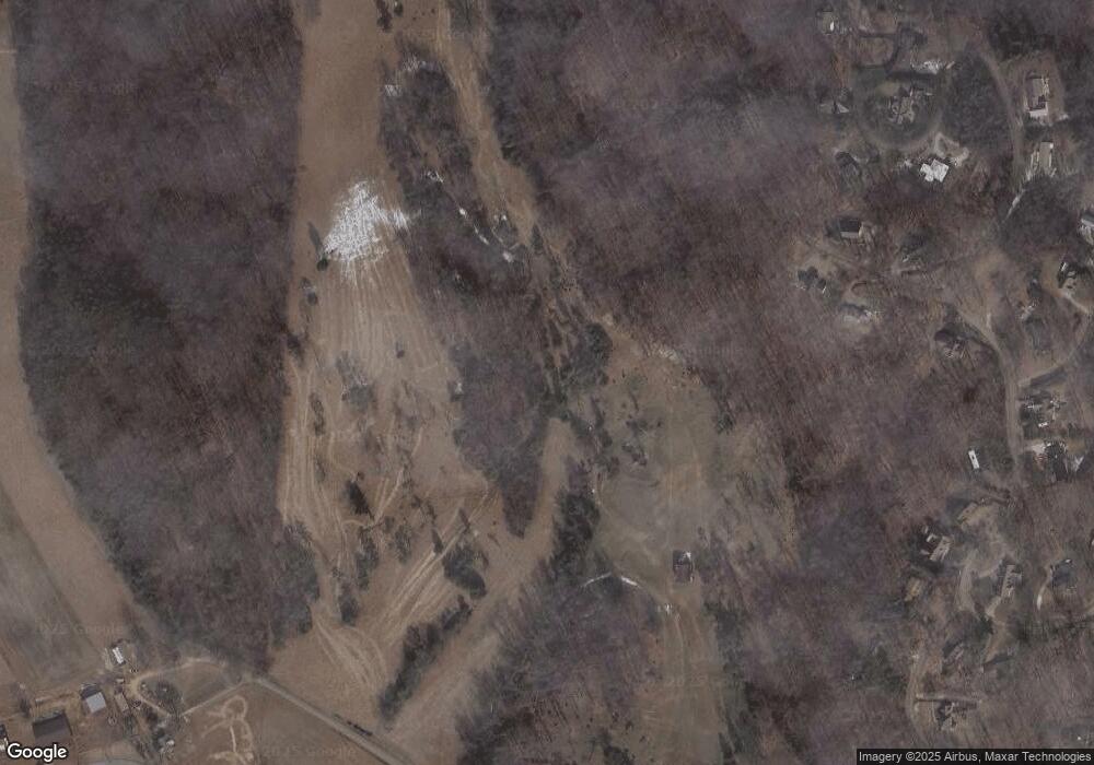
886 Mcbride Rd Morristown, TN 37814
Estimated Value: $669,000
--
Bed
1
Bath
1,670
Sq Ft
$401/Sq Ft
Est. Value
About This Home
This home is located at 886 Mcbride Rd, Morristown, TN 37814 and is currently estimated at $669,000, approximately $400 per square foot. 886 Mcbride Rd is a home located in Hamblen County with nearby schools including West Elementary School, Lincoln Heights Middle School, and Morristown West High School.
Ownership History
Date
Name
Owned For
Owner Type
Purchase Details
Closed on
Oct 20, 1999
Sold by
Bartlett Michelle
Bought by
Rines Scott
Current Estimated Value
Purchase Details
Closed on
Sep 28, 1999
Sold by
Bartlett Michelle
Bought by
Bartlett Michelle
Purchase Details
Closed on
Sep 27, 1999
Sold by
Bartlett Michelle
Bought by
Courtney Robert
Purchase Details
Closed on
Dec 11, 1998
Sold by
Graves Mccrary Helen G and Graves Mccrary
Bought by
Baker Calvin
Purchase Details
Closed on
Oct 30, 1998
Sold by
Weaver Ronald
Bought by
Setser Jeffrey
Home Financials for this Owner
Home Financials are based on the most recent Mortgage that was taken out on this home.
Original Mortgage
$79,750
Interest Rate
6.95%
Purchase Details
Closed on
Sep 29, 1998
Sold by
Woodruff Richard
Bought by
Weaver Ronald
Home Financials for this Owner
Home Financials are based on the most recent Mortgage that was taken out on this home.
Original Mortgage
$79,750
Interest Rate
6.95%
Purchase Details
Closed on
Jun 18, 1998
Sold by
Carmichael Scott
Bought by
Woodruff Richard
Purchase Details
Closed on
Jun 17, 1998
Sold by
Carmichael Scott
Bought by
Carmichael Scott
Purchase Details
Closed on
Mar 25, 1998
Sold by
Mccrary Helen G and Mccrary Graves
Bought by
Holder Carroll
Purchase Details
Closed on
Aug 22, 1997
Sold by
Dickerson David
Bought by
Kilday Darwin
Purchase Details
Closed on
Jul 23, 1997
Sold by
John Harris
Bought by
Dickerson David
Purchase Details
Closed on
Apr 15, 1997
Sold by
Frazier Dwight
Bought by
Harris John
Purchase Details
Closed on
Feb 7, 1997
Sold by
Mccrary Helen G and Mccrary Graves
Bought by
Frazier Dwight
Purchase Details
Closed on
Apr 21, 1993
Bought by
Mccrary Helen G and Graves Charles E
Purchase Details
Closed on
Oct 10, 1989
Purchase Details
Closed on
Oct 31, 1988
Purchase Details
Closed on
Feb 1, 1965
Purchase Details
Closed on
Mar 2, 1942
Bought by
Graves Thomas J
Create a Home Valuation Report for This Property
The Home Valuation Report is an in-depth analysis detailing your home's value as well as a comparison with similar homes in the area
Home Values in the Area
Average Home Value in this Area
Purchase History
| Date | Buyer | Sale Price | Title Company |
|---|---|---|---|
| Rines Scott | $56,000 | -- | |
| Bartlett Michelle | $65,000 | -- | |
| Courtney Robert | $33,500 | -- | |
| Baker Calvin | $72,900 | -- | |
| Setser Jeffrey | $282,000 | -- | |
| Weaver Ronald | $99,000 | -- | |
| Woodruff Richard | $69,000 | -- | |
| Carmichael Scott | $91,000 | -- | |
| Holder Carroll | $48,500 | -- | |
| Kilday Darwin | $158,900 | -- | |
| Dickerson David | $29,000 | -- | |
| Harris John | $69,900 | -- | |
| Frazier Dwight | $25,000 | -- | |
| Mccrary Helen G | -- | -- | |
| -- | -- | -- | |
| -- | -- | -- | |
| -- | -- | -- | |
| Graves Thomas J | -- | -- |
Source: Public Records
Mortgage History
| Date | Status | Borrower | Loan Amount |
|---|---|---|---|
| Previous Owner | Graves Thomas J | $79,750 |
Source: Public Records
Tax History Compared to Growth
Tax History
| Year | Tax Paid | Tax Assessment Tax Assessment Total Assessment is a certain percentage of the fair market value that is determined by local assessors to be the total taxable value of land and additions on the property. | Land | Improvement |
|---|---|---|---|---|
| 2024 | $830 | $42,150 | $41,000 | $1,150 |
| 2023 | $830 | $42,150 | $0 | $0 |
| 2022 | $830 | $42,150 | $41,000 | $1,150 |
| 2021 | $830 | $42,150 | $41,000 | $1,150 |
| 2020 | $830 | $42,150 | $41,000 | $1,150 |
| 2019 | $751 | $35,275 | $34,175 | $1,100 |
| 2018 | $751 | $35,275 | $34,175 | $1,100 |
| 2017 | $751 | $35,275 | $34,175 | $1,100 |
| 2016 | $702 | $35,275 | $34,175 | $1,100 |
| 2015 | $653 | $35,275 | $34,175 | $1,100 |
| 2014 | -- | $35,275 | $34,175 | $1,100 |
| 2013 | -- | $49,450 | $0 | $0 |
Source: Public Records
Map
Nearby Homes
- 1225 Dougherty Dr
- 2978 Wilshire Blvd
- 1054 Colonial Dr
- 1086 St Ives Ct
- 801 Colonial Dr
- 2310 Sandstone Dr
- 2444 Sandstone Dr
- 2454 Sandstone Dr
- 2430 Sandstone Dr
- 2045 N Economy Rd Unit A3
- 700 Drinnon Dr
- 1033 Walters Dr
- 941 Heykoop Dr
- 400 Drinnon Dr
- 2241 Le Conte St
- 3471 Walden Dr
- 3475 Walden Dr
- Lot 267 Waterview Way
- Lot 289 Inlet Cove
- Lot 295 Inlet Cove
- 850 Mcbride Rd
- 869 Mcbride Rd
- 865 Mcbride Rd
- 1225 Doughtery Dr
- 1150 Dougherty Dr
- Lot 6 Dougherty Dr
- 1230 Dougherty Dr
- 1305 Dougherty Dr
- 1310 Doyal Dr
- 2920 Catron Ln
- 1309 Dougherty Dr
- 820 W Economy Rd
- 754 Berkshire Dr
- 1112 Dougherty Dr
- 1304 Dougherty Dr
- 766 Berkshire Dr
- 1315 Dougherty Dr
- 742 Berkshire Dr
- 926 Dougherty Dr
- 782 Berkshire Dr
