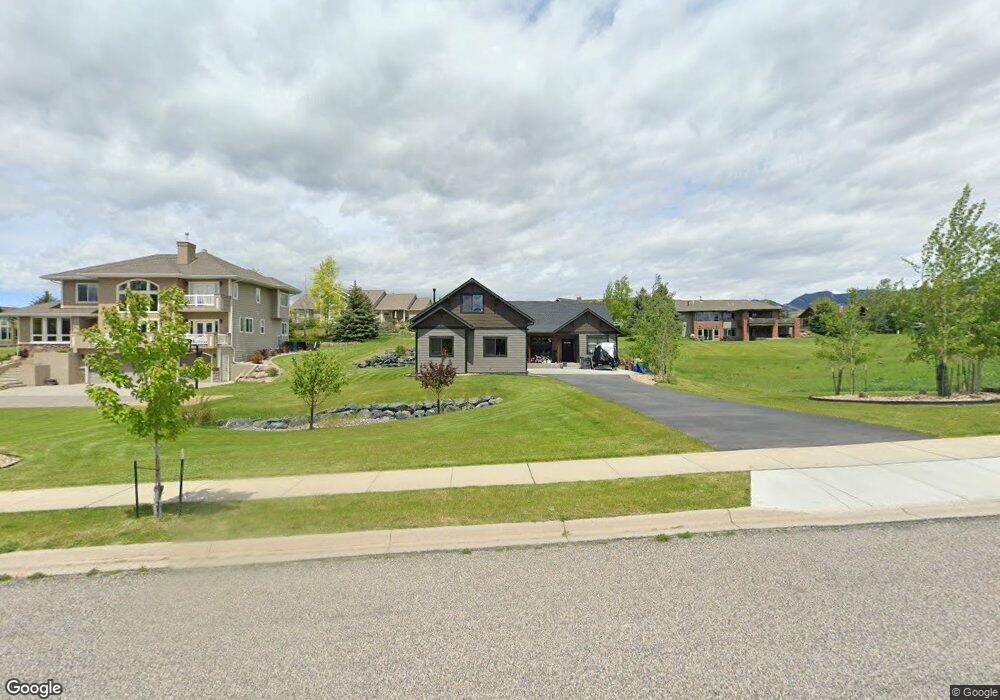
886 St Andrews Dr Bozeman, MT 59715
North Bozeman NeighborhoodEstimated Value: $920,344 - $1,355,000
3
Beds
2
Baths
2,003
Sq Ft
$529/Sq Ft
Est. Value
About This Home
This home is located at 886 St Andrews Dr, Bozeman, MT 59715 and is currently estimated at $1,059,086, approximately $528 per square foot. 886 St Andrews Dr is a home with nearby schools including Hawthorne Elementary School, Chief Joseph Middle School, and Bozeman High School.
Ownership History
Date
Name
Owned For
Owner Type
Purchase Details
Closed on
Dec 5, 2019
Sold by
Golf Course Partners Inc
Bought by
Deboer Steven and Deboer Vicki
Current Estimated Value
Home Financials for this Owner
Home Financials are based on the most recent Mortgage that was taken out on this home.
Original Mortgage
$108,750
Interest Rate
3.75%
Mortgage Type
New Conventional
Create a Home Valuation Report for This Property
The Home Valuation Report is an in-depth analysis detailing your home's value as well as a comparison with similar homes in the area
Home Values in the Area
Average Home Value in this Area
Purchase History
| Date | Buyer | Sale Price | Title Company |
|---|---|---|---|
| Deboer Steven | -- | Security Title Company |
Source: Public Records
Mortgage History
| Date | Status | Borrower | Loan Amount |
|---|---|---|---|
| Closed | Deboer Steven | $108,750 |
Source: Public Records
Tax History Compared to Growth
Tax History
| Year | Tax Paid | Tax Assessment Tax Assessment Total Assessment is a certain percentage of the fair market value that is determined by local assessors to be the total taxable value of land and additions on the property. | Land | Improvement |
|---|---|---|---|---|
| 2025 | $3,870 | $819,400 | $0 | $0 |
| 2024 | $5,382 | $808,500 | $0 | $0 |
| 2023 | $5,206 | $808,500 | $0 | $0 |
| 2022 | $3,498 | $456,200 | $0 | $0 |
| 2021 | $1,111 | $131,268 | $0 | $0 |
| 2020 | $987 | $115,686 | $0 | $0 |
| 2019 | $1,009 | $115,686 | $0 | $0 |
| 2018 | $996 | $105,876 | $0 | $0 |
| 2017 | $931 | $105,876 | $0 | $0 |
| 2016 | $587 | $62,293 | $0 | $0 |
| 2015 | $1,174 | $124,586 | $0 | $0 |
| 2014 | $1,556 | $97,175 | $0 | $0 |
Source: Public Records
Map
Nearby Homes
- 557 St Andrews Dr
- 523 St Andrews Dr
- 3107 Augusta Dr
- 1055 Caddie Ct
- 1078 Caddie Ct
- 1031 Boylan Rd
- 2506 Valhalla Ct
- 2403 Birdie Dr Unit A
- 2402 Blue Silos Way
- 329 Gallatin Park Dr Unit 102/202
- 375 Gallatin Park Dr
- 369 Gallatin Park Dr
- 365 Gallatin Park Dr
- 365, 369 & 375 Gallatin Park Dr
- 1234 Hillside Ln
- 1719 Midfield St
- 2434 Richau Ln
- 611 Nikles Dr Unit 102/202
- TBD Valley Ridge Rd
- 7810 Rolling Hills Dr
- 902 St Andrews Dr
- TBD St Andrews Dr
- 668 St Andrews
- 644 St Andrews Dr
- 938 St Andrews Dr
- 887 St Andrews Dr
- 696 Saint Andrews Dr
- 790 St Andrews Dr
- 610 St Andrews Dr
- 903 St Andrews Dr
- 720 St Andrews Dr
- 849 St Andrews Dr
- 972 St Andrews Dr
- Lot 2 Bridger Creek Sub
- 939 St Andrews Dr
- 0 St Andrews Dr Unit 184535
- 578 St Andrews Dr
- 825 St Andrews Dr
- 611 St Andrews Dr
- 973 St Andrews Dr