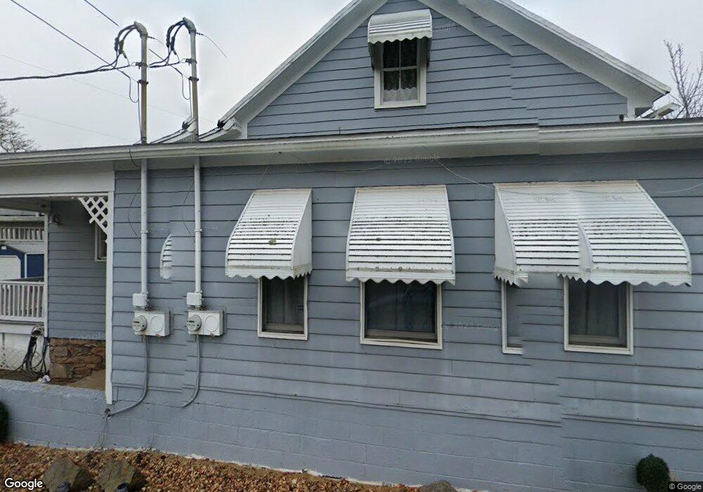
886A State Rd Bloomsburg, PA 17815
Estimated Value: $141,130 - $334,000
--
Bed
--
Bath
1,612
Sq Ft
$127/Sq Ft
Est. Value
About This Home
This home is located at 886A State Rd, Bloomsburg, PA 17815 and is currently estimated at $204,033, approximately $126 per square foot. 886A State Rd is a home located in Columbia County with nearby schools including Beaver Main Elementary School, Bloomsburg Area Middle School, and Bloomsburg Area High School.
Ownership History
Date
Name
Owned For
Owner Type
Purchase Details
Closed on
Mar 5, 2021
Sold by
Cominsky Jospeh and Cominsky Michael
Bought by
Cominsky Joseph and Cominsky Claudia J
Current Estimated Value
Purchase Details
Closed on
Feb 23, 2017
Sold by
Us Bank National Association
Bought by
Cominsky Joseph and Cominsky Michael
Purchase Details
Closed on
Nov 30, 2016
Sold by
Woodside Timothy S and Woodside Megin L
Bought by
Us Bank National Association
Purchase Details
Closed on
Mar 20, 2012
Sold by
Woodside Timothy S and Woodside Megin L
Bought by
Woodside Megin L
Purchase Details
Closed on
May 29, 2009
Sold by
Wynings Ricky A and Roskowski Daniel
Bought by
Woodside Timothy S and Woodside Megin L
Home Financials for this Owner
Home Financials are based on the most recent Mortgage that was taken out on this home.
Original Mortgage
$80,070
Interest Rate
4.87%
Mortgage Type
New Conventional
Create a Home Valuation Report for This Property
The Home Valuation Report is an in-depth analysis detailing your home's value as well as a comparison with similar homes in the area
Home Values in the Area
Average Home Value in this Area
Purchase History
| Date | Buyer | Sale Price | Title Company |
|---|---|---|---|
| Cominsky Joseph | -- | None Available | |
| Cominsky Joseph | $29,000 | None Available | |
| Us Bank National Association | $1,909 | None Available | |
| Woodside Megin L | -- | None Available | |
| Woodside Timothy S | $78,500 | None Available |
Source: Public Records
Mortgage History
| Date | Status | Borrower | Loan Amount |
|---|---|---|---|
| Previous Owner | Woodside Timothy S | $80,070 |
Source: Public Records
Tax History Compared to Growth
Tax History
| Year | Tax Paid | Tax Assessment Tax Assessment Total Assessment is a certain percentage of the fair market value that is determined by local assessors to be the total taxable value of land and additions on the property. | Land | Improvement |
|---|---|---|---|---|
| 2025 | $1,424 | $20,078 | $0 | $0 |
| 2024 | $1,394 | $20,078 | $2,451 | $17,627 |
| 2023 | $1,283 | $20,078 | $2,451 | $17,627 |
| 2022 | $1,244 | $20,078 | $2,451 | $17,627 |
| 2021 | $1,210 | $20,078 | $2,451 | $17,627 |
| 2020 | $1,195 | $20,078 | $2,451 | $17,627 |
| 2019 | $1,170 | $20,078 | $2,451 | $17,627 |
| 2018 | $1,144 | $20,078 | $2,451 | $17,627 |
| 2017 | $1,103 | $20,078 | $2,451 | $17,627 |
| 2016 | -- | $20,078 | $2,451 | $17,627 |
| 2015 | -- | $20,078 | $2,451 | $17,627 |
| 2014 | -- | $20,078 | $2,451 | $17,627 |
Source: Public Records
Map
Nearby Homes
- 0 Chapel Hill Rd
- 97 Iron Bridge Rd
- 1095 Beaver Valley Rd
- 648 Main-Mifflin Rd
- 123 Old Field Dr
- 0 Dog Leg Ln
- 772 Mainville Dr
- 21 Stage Coach Ln
- 13 Estate Way
- 21 Estate Way
- 17 Estate Way
- 25 Wolfe Rd
- 175 Mill Grove Rd
- 176 Mill Grove Rd
- LOT 5B West St
- LOT 5A West St
- LOT 4B West St
- LOT 4A West St
- 1035 Catawissa Creek Rd
- LOT 2B W 5th St
- 886 State Rd
- 886C State Rd
- 876 State Rd
- 864 State Rd
- 861 State Rd
- 1 Mountain Shadow Ln
- 894 State Rd
- 827 State Rd
- 11 Mountain Shadow Ln
- 22 Mountain Shadow Ln
- 922 State Rd
- 797 State Rd
- 42 Mountain Shadow Ln
- 785 State Rd
- 47 Mountain Shadow Ln
- 944 State Rd
- 944 State Rd
- 50 Mountain Shadow Ln
- 970 State Rd
- 70 Mountain Shadow Ln