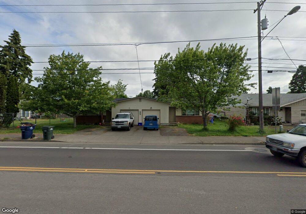
887 Maxwell Rd Eugene, OR 97404
River Road NeighborhoodEstimated Value: $415,000 - $482,000
4
Beds
2
Baths
1,922
Sq Ft
$233/Sq Ft
Est. Value
About This Home
This home is located at 887 Maxwell Rd, Eugene, OR 97404 and is currently estimated at $448,631, approximately $233 per square foot. 887 Maxwell Rd is a home located in Lane County with nearby schools including Howard Elementary School, Kelly Middle School, and North Eugene High School.
Ownership History
Date
Name
Owned For
Owner Type
Purchase Details
Closed on
Aug 4, 2023
Sold by
Reynolds Family Revocable Trust
Bought by
Reynolds Family Investments Llc
Current Estimated Value
Purchase Details
Closed on
Mar 6, 2014
Sold by
Reynolds Vaughan W and Reynolds Catherine
Bought by
Reynolds Family Revocable Trust
Purchase Details
Closed on
Dec 10, 2002
Sold by
Davis Lee
Bought by
Reynolds Vaughan W and Reynolds Catherine
Home Financials for this Owner
Home Financials are based on the most recent Mortgage that was taken out on this home.
Original Mortgage
$112,000
Interest Rate
6.03%
Create a Home Valuation Report for This Property
The Home Valuation Report is an in-depth analysis detailing your home's value as well as a comparison with similar homes in the area
Home Values in the Area
Average Home Value in this Area
Purchase History
| Date | Buyer | Sale Price | Title Company |
|---|---|---|---|
| Reynolds Family Investments Llc | -- | None Listed On Document | |
| Reynolds Family Revocable Trust | -- | None Available | |
| Reynolds Vaughan W | $140,000 | Western Pioneer Title Co |
Source: Public Records
Mortgage History
| Date | Status | Borrower | Loan Amount |
|---|---|---|---|
| Previous Owner | Reynolds Vaughan W | $112,000 |
Source: Public Records
Tax History
| Year | Tax Paid | Tax Assessment Tax Assessment Total Assessment is a certain percentage of the fair market value that is determined by local assessors to be the total taxable value of land and additions on the property. | Land | Improvement |
|---|---|---|---|---|
| 2025 | $3,925 | $233,663 | -- | -- |
| 2024 | $3,883 | $226,858 | -- | -- |
| 2023 | $3,883 | $220,251 | $0 | $0 |
| 2022 | $3,652 | $213,836 | $0 | $0 |
| 2021 | $3,396 | $207,608 | $0 | $0 |
| 2020 | $3,242 | $201,562 | $0 | $0 |
| 2019 | $3,076 | $195,692 | $0 | $0 |
| 2018 | $2,787 | $184,459 | $0 | $0 |
| 2017 | $2,671 | $184,459 | $0 | $0 |
| 2016 | $2,569 | $179,086 | $0 | $0 |
| 2015 | $2,535 | $173,870 | $0 | $0 |
| 2014 | $2,546 | $168,806 | $0 | $0 |
Source: Public Records
Map
Nearby Homes
- 1682 Hemlock St
- 1755 Brentwood Ave
- 1566 Maywood Ave
- 1307 Bramblewood Ln
- 389 Maxwell Rd
- 1880 Manihi Dr
- 1314 Dalton Dr
- 401 Sterling Dr
- 541 Durham Ave
- 788 Cornwall Ave
- 2002 Kintyre St
- 303 Lenore Loop
- 1487 Barton St
- 1483 Barton St
- 2563 York St
- 2439 Quince St
- 1360 Andersen Ln
- 1164 Veronica Ln
- 3717 Riviera
- 2488 Northampton
Your Personal Tour Guide
Ask me questions while you tour the home.