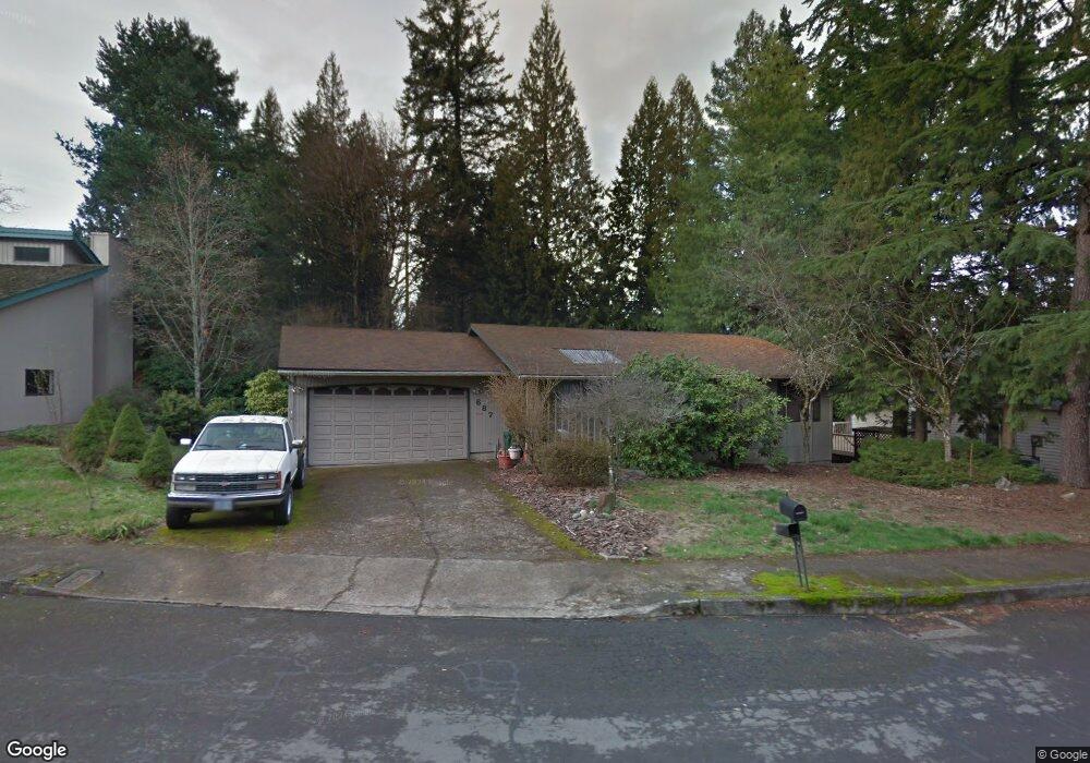
887 SE 27th St Gresham, OR 97080
Gresham Butte NeighborhoodEstimated Value: $484,000 - $529,000
3
Beds
3
Baths
2,352
Sq Ft
$216/Sq Ft
Est. Value
About This Home
This home is located at 887 SE 27th St, Gresham, OR 97080 and is currently estimated at $508,273, approximately $216 per square foot. 887 SE 27th St is a home located in Multnomah County with nearby schools including East Gresham Elementary School, Dexter McCarty Middle School, and Gresham High School.
Ownership History
Date
Name
Owned For
Owner Type
Purchase Details
Closed on
Jun 1, 2004
Sold by
Wolfe Albert Joseph
Bought by
Walsh Robert and Walsh Nicole
Current Estimated Value
Home Financials for this Owner
Home Financials are based on the most recent Mortgage that was taken out on this home.
Original Mortgage
$151,160
Outstanding Balance
$72,960
Interest Rate
5.92%
Mortgage Type
Purchase Money Mortgage
Estimated Equity
$435,313
Purchase Details
Closed on
Jan 7, 1998
Sold by
Wolf Andreas and Wolf Nina E
Bought by
Beverly Gardens Llc
Create a Home Valuation Report for This Property
The Home Valuation Report is an in-depth analysis detailing your home's value as well as a comparison with similar homes in the area
Home Values in the Area
Average Home Value in this Area
Purchase History
| Date | Buyer | Sale Price | Title Company |
|---|---|---|---|
| Walsh Robert | $188,950 | Transnation Title Agency Or | |
| Beverly Gardens Llc | -- | -- |
Source: Public Records
Mortgage History
| Date | Status | Borrower | Loan Amount |
|---|---|---|---|
| Open | Walsh Robert | $151,160 |
Source: Public Records
Tax History
| Year | Tax Paid | Tax Assessment Tax Assessment Total Assessment is a certain percentage of the fair market value that is determined by local assessors to be the total taxable value of land and additions on the property. | Land | Improvement |
|---|---|---|---|---|
| 2025 | $5,371 | $263,960 | -- | -- |
| 2024 | $5,142 | $256,280 | -- | -- |
| 2023 | $4,685 | $248,820 | $0 | $0 |
| 2022 | $4,554 | $241,580 | $0 | $0 |
| 2021 | $4,439 | $234,550 | $0 | $0 |
| 2020 | $4,177 | $227,720 | $0 | $0 |
| 2019 | $4,067 | $221,090 | $0 | $0 |
| 2018 | $3,878 | $214,660 | $0 | $0 |
| 2017 | $3,721 | $208,410 | $0 | $0 |
| 2016 | $3,281 | $202,340 | $0 | $0 |
Source: Public Records
Map
Nearby Homes
- 2581 SE Morlan Way
- 2909 SE Liberty Place
- 2440 SE Regner Rd
- 2024 SE Spruce Ave
- 1696 SE 26th Dr
- 1918 SE Regner Rd
- 2678 SE Myrtlewood Way
- 242 SE 29th St
- 2925 SE Cleveland Dr
- 511 SE 15th St
- 1414 SE Beech Place
- 3544 SE Deer Creek Way
- 640 SE 40th Terrace
- 2125 SE 18th Aly
- 0 SW Miller Ct Unit 470855683
- 2137 SE 15th Aly
- 55 SW Lovhar Dr
- 2240 SE 16th St
- 2293 SE 15th Aly
- 2392 SE 16th Aly
- 927 SE 27th St
- 857 SE 27th St
- 827 SE 27th St
- 977 SE 27th St
- 884 SE 27th St
- 2535 SE Cleveland Ave
- 884 SE 25th St
- 930 SE 27th St
- 860 SE 27th St
- 760 SE 25th St
- 797 SE 27th St
- 2635 SE Cleveland Ave
- 936 SE 25th St
- 836 SE 27th St
- 834 SE 25th St
- 774 SE 25th St
- 747 SE 27th St Unit 27
- 747 SE 27th St
- 786 SE 27th St
- 2861 SE Morlan Place
Your Personal Tour Guide
Ask me questions while you tour the home.